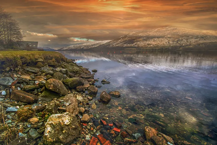
The Loch Lomond & The Trossachs National Park encompasses the most scenic parts of central Scotland. Created in 2002, at its heart lies the famous loch, which, because of the Highland Boundary Fault, literally straddles the Highlands and Lowlands.
The walking potential is huge, with 20 Munros and Corbetts to climb, stunning oak woodland, sections of the West Highland Way, island excursions and many other low-level outings.
At the northeastern edge of this 720 square mile national park lies Glen Ogle. For centuries this steep glen has provided a through route for travellers and cattle herders, or drovers. Today it’s as important as ever and it carries an important trunk road. The best way to appreciate the glen though is, as in the days of yore, on foot.
The route follows both rough and paved paths. Walking boots and waterproofs are essential.
1. Away from Loch Earn
From the car park by Loch Earn, walk back along a footpath to Lochearnhead and turn right. Cross the road and continue for 200m. Note a sign for the Glen Ogle trail on your left; this is the return route. Carefully recross the busy road and follow the trail signs, walking alongside a fence before crossing a burn. From here the going gets steeper and rougher, as the path is overgrown in places.
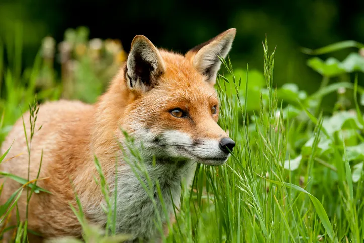
This overgrown nature is good news for the wildlife that thrives here. Look out for red and roe deer, foxes, mountain hares, badgers and otters too. After 1¼ miles follow the waymarked path across the road and down to the glen floor.
2. The Kyber Pass of Scotland
Here you’ll get a different perspective of this narrowing glen, which Queen Victoria once called the Kyber Pass of Scotland. On the far side a dramatic railway viaduct draws the eye. Built in the 1860s it is now enjoyed by thousands of walkers and cyclists as part of the National Cycle Network Route 7.
Continue to intersect this cycle route and follow it up the glen for a marvellous diversion to the hidden Lochan Lairig Cheile. Keep going to an obvious access point to this enchanting lochan and, once refreshed, you can relax in the knowledge that the return is all downhill.
3. View from a bridge
Follow the cycle path over the viaduct, where you get a good feel for the glen from this elevated position. The air resonates with history from the Romans, who may have built the glen’s original road, to the soldiers, who followed it to quell rebellion.
The Rob Roy Way, a 90-mile trail, also follows this section of the glen on its way from Drymen, by Loch Lomondside, to Pitlochry. The infamous cattle rustler Rob Roy would have been very familiar with all the crags and hiding spots here as he used his wit and cunning to stay a step or two ahead of his pursuers. Eventually pardoned, he lived out his final years quietly in Balquhidder, 8 miles away as the rogue flies.
Follow the cycle path for almost 2 miles to a turn off, which leads back to the outward route.
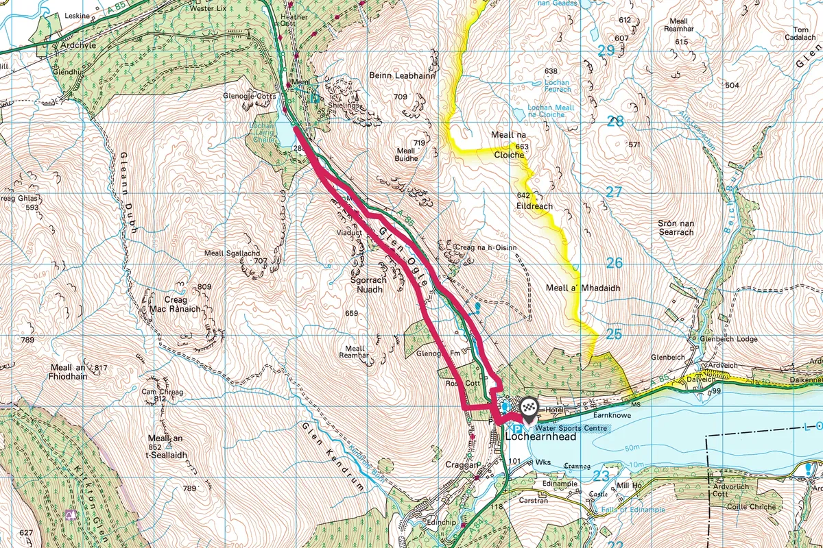
Map
Click on the map below for an interactive version of the route.