On the Gog Magog Hills overlooking Cambridge, the beautiful Wandlebury Country Park boasts woodland walks and Iron Age hillfort history.
Children can have fun in the wild den-building area, flying kites and even sledging when there is snow.
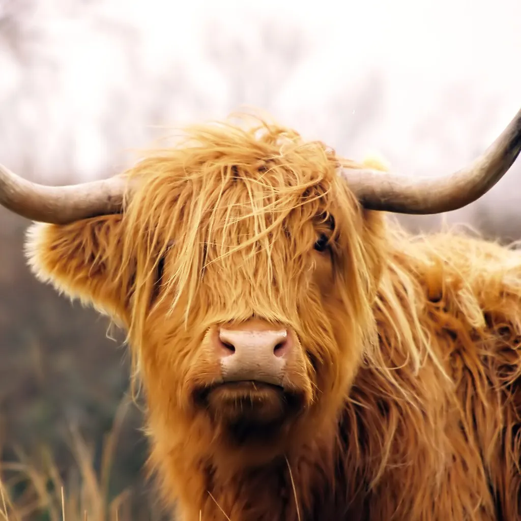
This country park is managed for wildlife and history by local charity Cambridge Past, Present and Future. The resident herd of Highland cattle live outside all year round and a hide enables views of birds.
A stunning white-and-yellow carpet of snowdrops and aconites blooms from mid-January through February, and in summer the hillsides are awash with other wildflowers.
- Walk: Bedford Purlieus, Cambridgeshire
- Barnack Hills and Holes National Nature Reserve, Cambridgeshire
- Day out: Wicken Fen, Cambridgeshire

Wandlebury Country Park walk
1.4 miles/2.3km | 1 hour | easy | 28m ascent
1. Start
Follow the track up from the car park. Take the third path left, passing the 18th-century house with its cupola clock tower. Horses were once stabled here, trained to race at nearby Newmarket. Under the archway, by the toilets, lies the grave of the Godolphin Arabian who was stabled here and fathered many top racehorses. Walk past the buildings, following the path around to the right.
2. Bridge crossing
Over the bridge, pick up the path heading left around the edge of an open field (great for sledging when it snows). Here you can also divert to the den-building and dog exercise areas or picnic on one of the benches.
3. Ely View Point
Reaching the trees on the far side of the field, follow the finger-post to ‘Ely View Point’. To your left is a fenced field in which the Highland cattle can sometimes be seen grazing, their diet is topped up with hay to keep them going through the winter and their thick coats keep them warm.
4. Gog Magog Hills
Entering the woods, turn left and then right. From this point, on a clear day, you can see Ely Cathedral, almost 17 miles away as the crow flies. You are about 70 metres above sea level here, on top of the Gog Magog Hills, a range of low chalk hills. Follow the path to the Banyard Wildlife Hide, looking out for woodpeckers, long-tailed tits and maybe a jay, bullfinch, sparrowhawk or even a brambling.
5. Highland cattle
Continuing beyond the hide, follow the path left along a straight avenue of trees. The field to your left is another place to look out for the Highland cattle. When the path reaches a T-junction, head left. After 60 metres, turn right twice and drop into the Iron Age Ring ditch.
6. Iron Age Ring ditch
Follow the dry ditch path anticlockwise. This circular earthwork dates back to around 400BC, surrounding a large hillfort, one of only fifty recorded nationally. You will emerge from the ring ditch where the walk began, near the car park. If you’re still feeling energetic, a full circuit of the ring ditch is half a mile.
Wandlebury Country Park map
Wandlebury Country Park walking rout and map

Useful information
Starting point
Wandlebury Country Park car park CB22 3AE (Mon-Fri £3.15; Sat £3.50; Sun/BH £3.90).
Served by the Stagecoach No. 13 Cambridge-Harverhill bus.
(Also cycle-friendly route from Cambridge).
Terrain
A mixture of surfaced and unsurfaced tracks with gentle gradients, no steps or stiles. Much of the route is accessible for wheelchairs and pushchairs. (Dogs permitted on leads)
Map
OS Explorer 209
Eat/drink/stay
Pop-up cafes at Wandlebury, Thursday-Sunday 10am-3pm weather permitting.
The Gog farm shop is 0.5 miles northwest along the A1307. Plenty of accommodation and eateries 4 miles northwest in Cambridge

