Who was buried at Sutton Hoo? It’s a question that has puzzled archaeologists for over 80 years, ever since one of the world’s greatest archaeological discoveries was made there in 1939, just as the clouds of war gathered over Europe.
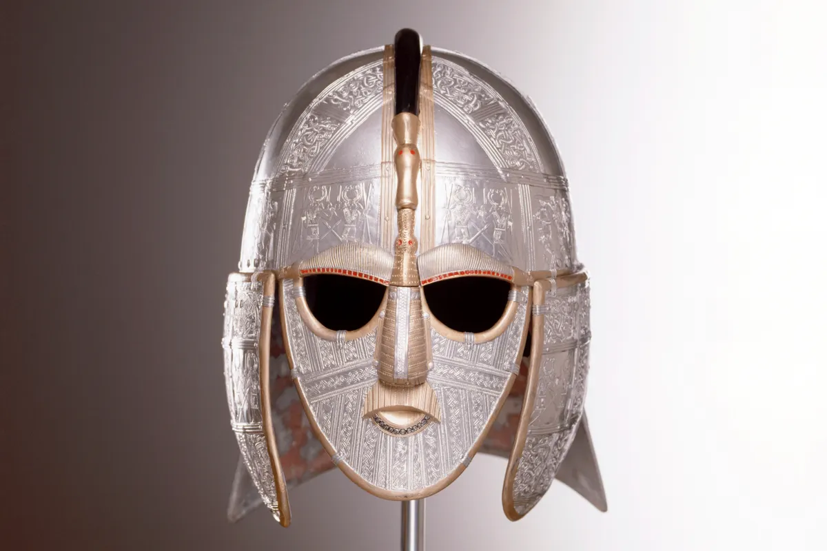
Most informed opinion seems to suggest it was the burial site of Rædwald, the first Christian king of East Anglia who ruled in the early decades of the seventh century, interred at Sutton Hoo with a treasure trove of glittering grave goods, including the iconic helmet. But with no written evidence, no one can be absolutely sure.
Savour the drama of Sutton Hoo on a 3.8-mile circular walk through Suffolk's fields and farmland, starting and ending at Sutton Hoo.
Underground ship
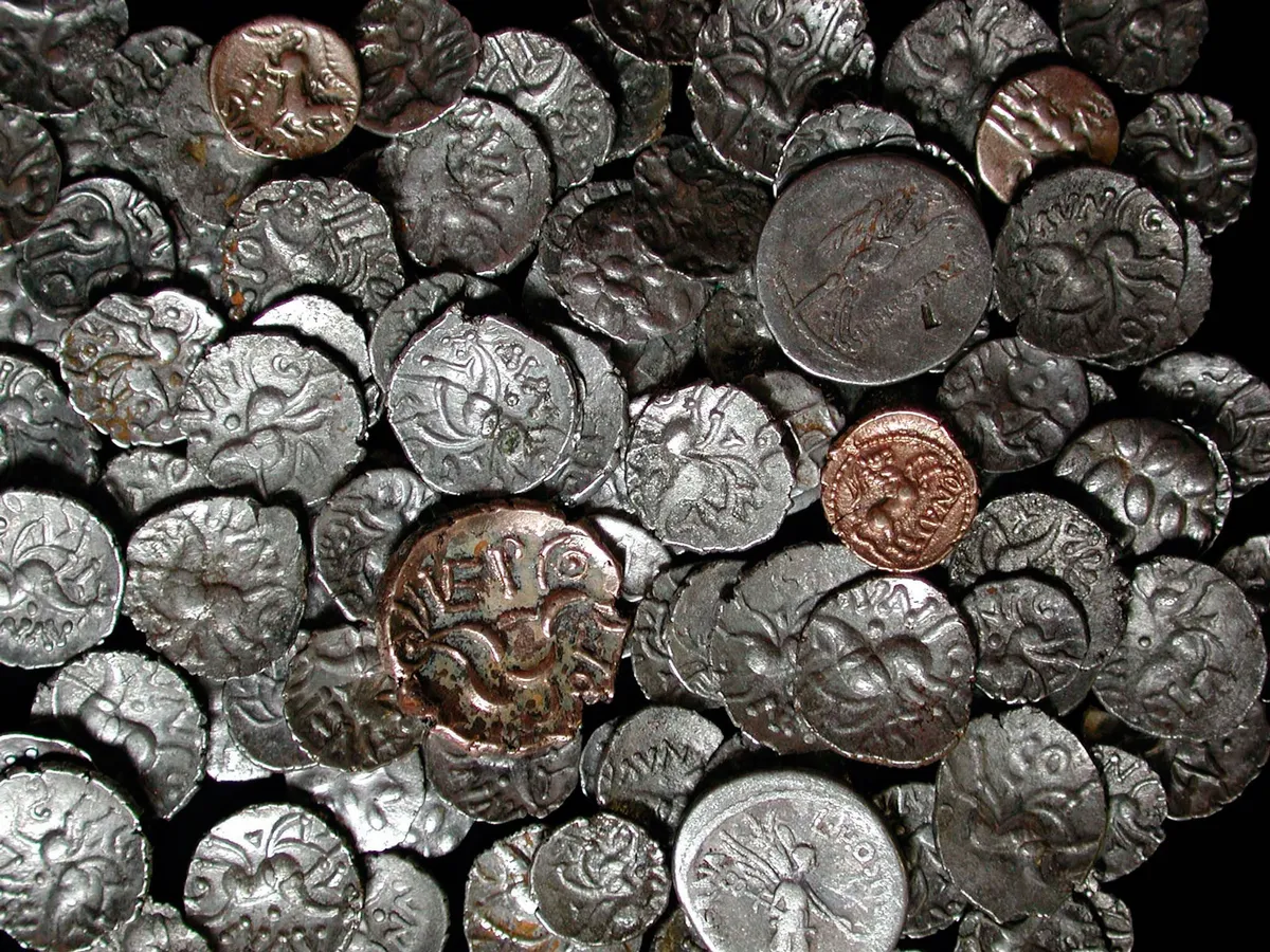
Basil Brown, a cloth-capped, pipe-smoking local amateur archaeologist, made the first excavations at Sutton Hoo for landowner Edith Pretty in 1938. His meticulous digging in what became known as Mound One revealed the ghostly outline of a Saxon ship burial whose golden riches (now housed in the British Museum) surpassed anything that had been found before.
A £4 million reinterpretation of the site has just been completed by the National Trust. Centrepieces are a new 17m-high viewing tower overlooking the 18 or so smaller burial mounds, with views to the River Deben beyond, and an enormous, 27m-long rusted steel sculpture of the ship. An exact recreation of Rædwald’s clinker-built longship is also under construction at the nearby town of Woodbridge.
Related articles
Sutton Hoo walk
3.8 miles/6.1km | 2.5 hours | easy-moderate
1. Debden banks
Follow the path at the rear of the restaurant down the valley (which is cloaked with a carpet of daffodils in spring) to a T-junction, where you turn left past Little Haugh Farm.
Immediately after the farm, take the signed footpath to the right, which leads between garden plots to reach the river. Here, you turn left and follow the path along the river wall to Ferry Cliff Woods, with fine views across the Deben Estuary to Woodbridge with its working Tide Mill.
2. Water to woods
At the end of Ferry Cliff, climb the steps, then turn left to follow the bridle path. At the end of the field, turn right, keeping Deben Wood on your left.
At the end of the wood, take the path across the field to a gap in the hedge, then turn left on to a tarmac bridleway until you reach an estate road. Follow this road north-east for about a mile until you reach the main road.
3. Home to Hoo
Turn left here and take care following the road for about 250 yards until you reach the end of the woods, where you turn left and follow the track to the top of the field. Look out for the National Trust sign here and take a sharp right through the gate to re-enter the Sutton Hoo estate.
Follow the path back towards the car park, passing Edith Pretty’s former home Tranmer House (now host to fascinating archaeological discovery exhibits in the ground floor rooms) and intricately carved Gar Seat, commemorating a loyal National Trust volunteer, Elizabeth Robinson.