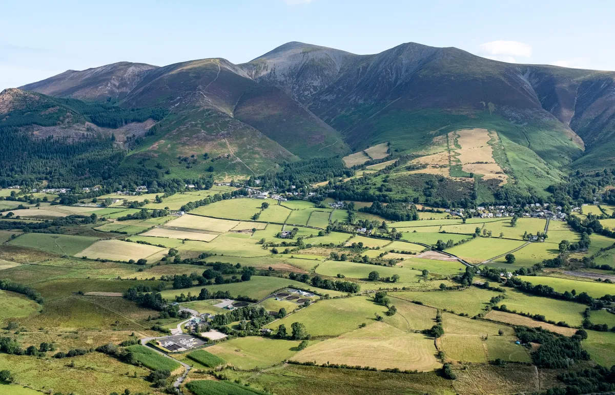
Reaching an altitude of 931m and occupying a spot on the Lake District’s north-western edge, Skiddaw offers up a tremendous outlook – to the south, a massed army of fells; to the north, Scotland beckons. And if you’re wondering exactly what you’re looking at, a viewfinder identifies the hills that are visible.
Walkers get a leg-up by starting at almost 300m above sea level and then following a well-constructed path almost all the way to the top. The return route uses less frequented paths across Lonscale Fell.
This is one of the best walks in the Lake District, but if you're looking for more routes in the area, why not check out our walking guides to Cat Bells, Helvellyn and Tarn Hows?
Skiddaw walk
1. Start
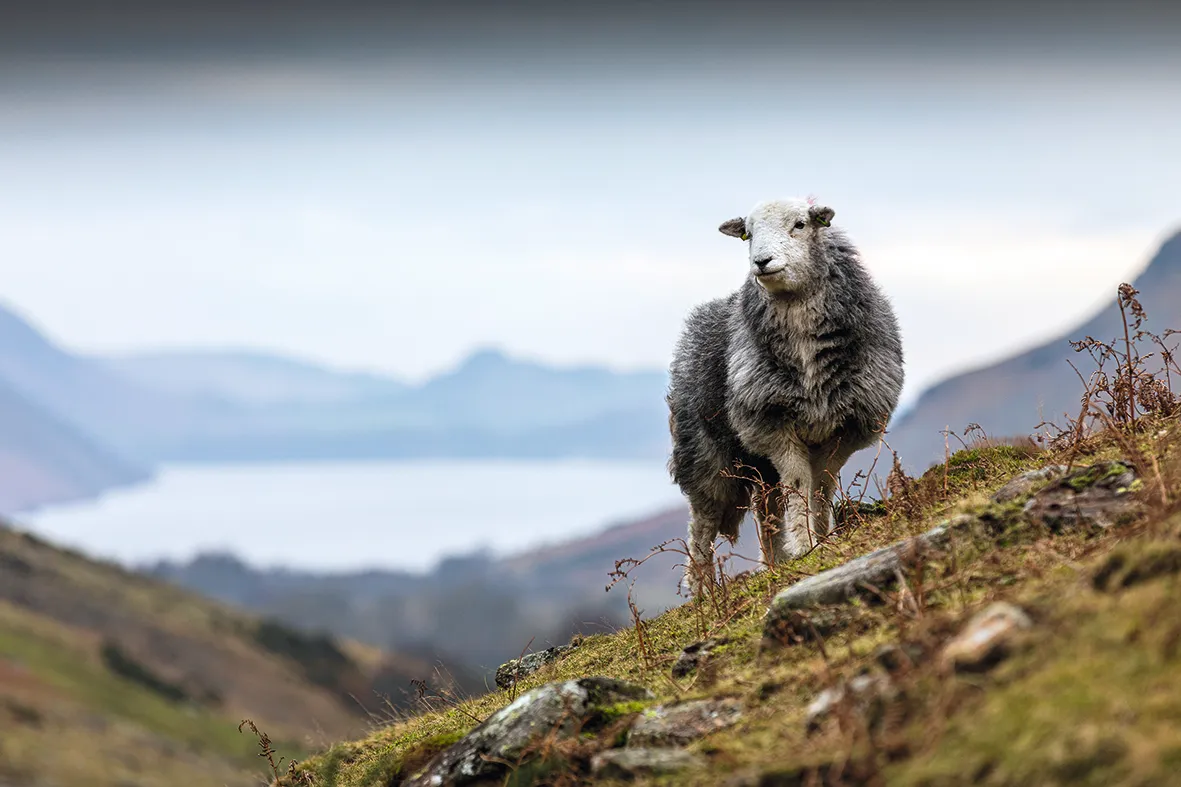
Go through the gate at the top of the parking area and turn left – signposted Skiddaw. Bear left at a fork beyond a gate, soon passing a memorial to the 19th-century, prize-Herdwick breeders Edward Hawell and his son Joseph.
The climb proper begins after the next gate. All the while, to the west, the view of a line of high fells steadily unfurls, stretching from Grisedale Pike in the north to Bow Fell in the south.
2. Jenkin Hill
The ascent might seem endless, but the gradient eventually eases and you reach a gate on Jenkin Hill. You’ll return to this point but, for now, go through this gate and, later, a second gate.
A river of stones now climbs to a cairn at the southern end of Skiddaw’s bare and often windswept summit plateau. It’s now a short walk north to the trig pillar, shelter and toposcope – a chance for a breather and an opportunity to appreciate exactly why England’s fourth highest hill is such a good viewpoint.
Lake District walks
Of all the national parks in Britain, the Lake District in North England is arguably the most celebrated – discover the area's fells, rivers, waters and towns with our guide to the best walks in the Lake District National Park.
3. Skiddaw Summit
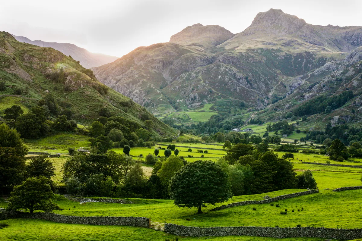
From the top, return to the gate on Jenkin Hill at waypoint 2. Go through and turn left, striding out across grassy moorland. The path isn’t always obvious, but the fence on your left acts as a guide. Later, a faint trail briefly swings away from this reassuring presence to reach Lonscale Fell’s summit cairn. It then drops to a fence corner.
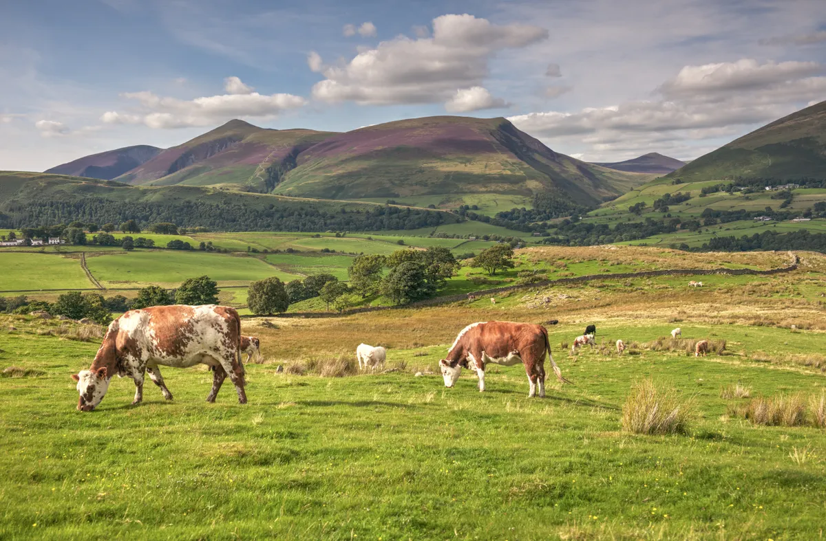
4. Lonscale Fell
Cross the fence and turn right, following it downhill. The hills straight ahead form part of a long ridge leading all the way to Helvellyn.
5. Whit Beck
Reaching the track at the bottom of the slope will come as relief for tired knees.
Turn right to cut easily across Lonscale Fell’s lower slopes and later ford Whit Beck.
The outward route is rejoined just before a gate. Go through and follow the path beside the fence to reach the gates at the end of Gale Road.
Skiddaw map
Skiddaw – OS Maps walking route

Useful information
Starting point
Parking area at end of Gale Road, CA12 4NG (grid ref NY280253), about 1½ miles north of Keswick and reached via road signposted to Underscar from A591. No public transport.
Terrain
Constructed path, often stony; moorland; rough trail on steep descent; good track along base of fell.
Map
OS Explorer OS04
Eat and drink
Lots of choice in nearby Keswick.
Stay
Lyzzick Hall Hotel (017687 72277)
