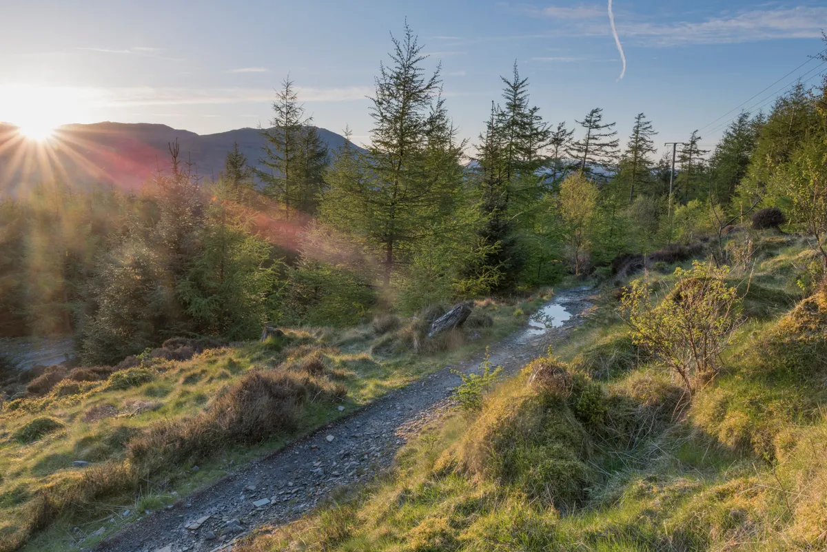
Rippling across the crags between Windermere and Coniston in the Lake District National Park, Grizedale Forest is 8,000 acres of mixed woodland laced with tracks and endowed with a renowned series of outdoor sculptures.
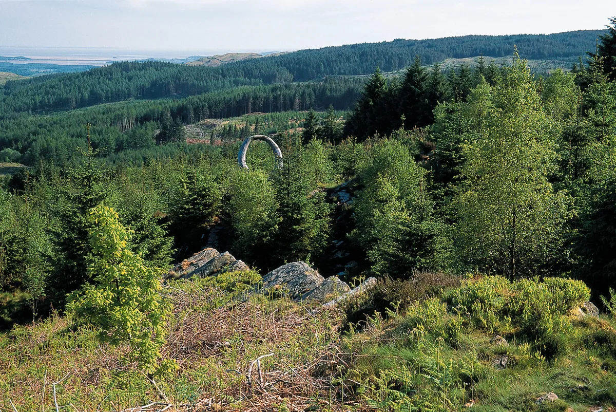
Inaugurated in 1977, the sculptures dot the forest as unexpected, thought-provoking, inspiring creations, made by artists “in response to the landscape”.
Some are permanent installations; others are moulded from natural materials and gradually reclaimed by the forest. There are around 80 to be found – some are obvious while others take some recognising – all part of the fun. Arm yourself with an essential Sculpture Trail Guide or print out a map (see Useful Info box) and walk this absorbing landscape that has Carron Crag, one of England’s best viewpoints, as its highest point.
Grizedale Forest walk
7.8 miles/12.6km | 4 hours | moderate
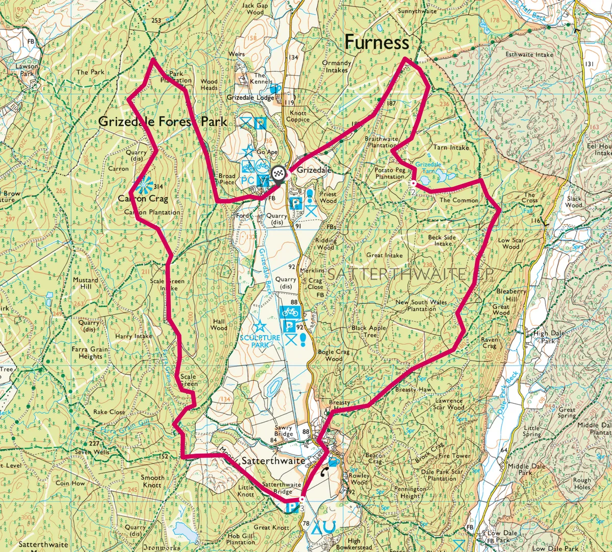
1. To the tarn
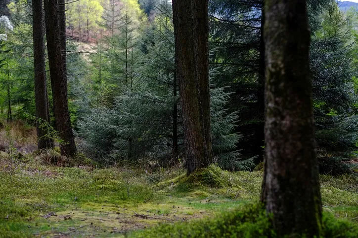
Look for Grizedale Hall Lodge opposite the visitor centre and take the rough track signed for Esthwaite & Hawkshead. This rises steeply, levelling as a wide forestry road marked by green-topped posts. This is the waymark for the Silurian Way (SW) geological trail, one of eight trails in Grizedale.
On reaching the Red Fox sculpture, loop right with the main track; in 200m divert right on a path to the eyecatching Some Fern sculpture wreathed upon a rocky outcrop. About 250m past the Living Space sculpture, you’ll reach a clearing and waymarked cross-track. Go left to visit Grizedale Tarn, otherwise keep ahead (SW).
2. Into the vale
The wide roadway meanders past stands of broadleaf and felled firs and, as you bend right, extravagant views open out across to the Howgill Fells. You’ll shortly pass a lavender-topped post (right). Just after this, the innocuous wall winding between the trees (right) is Andy Goldsworthy’s Taking a Wall for a Walk. At the next lavender post (300m), turn right (leaving SW) on the rising path and trace the lavender trail to Satterthwaite village. Turn left to pass or stop by the Eagle’s Head.
3. Crag bound
Some 200m past Satterthwaite Bridge turn right up Moor Lane bridleway. This rises beside a wall (right), unlocking views across Grizedale to fir-fringed fells and an occasional glimpse of the higher mountains. Beyond a dead tree and gate, drop across the beck and fork right at a SW post on a route that criss-crosses a winding forestry road – look for a slender waterfall off to the right.
Grizedale Forest map
Grizedale Forest walking route and map.
Useful Information
HOW TO GET THERE
Grizedale Forest Park Visitor Centre is three miles southwest of Hawkshead. Follow the brown tourist signs from Hawkshead or from the A590 near Haverthwaite. Pay and Display parking 200m south of visitor centre.
FIND OUT MORE
For other routes, head to the Forestry Commission website
EAT
The Eagles Head
Satterthwaite LA12 8LN
01229 860237
Cosy pub overlooking the forest.
STAY
Pepper House
Satterthwaite LA12 8LS
01229 860206
NEARBY
Stott Park Bobbin Mill
Colton LA12 8AX
0870 3331181
Absorbing working museum recalling a lost forest industry