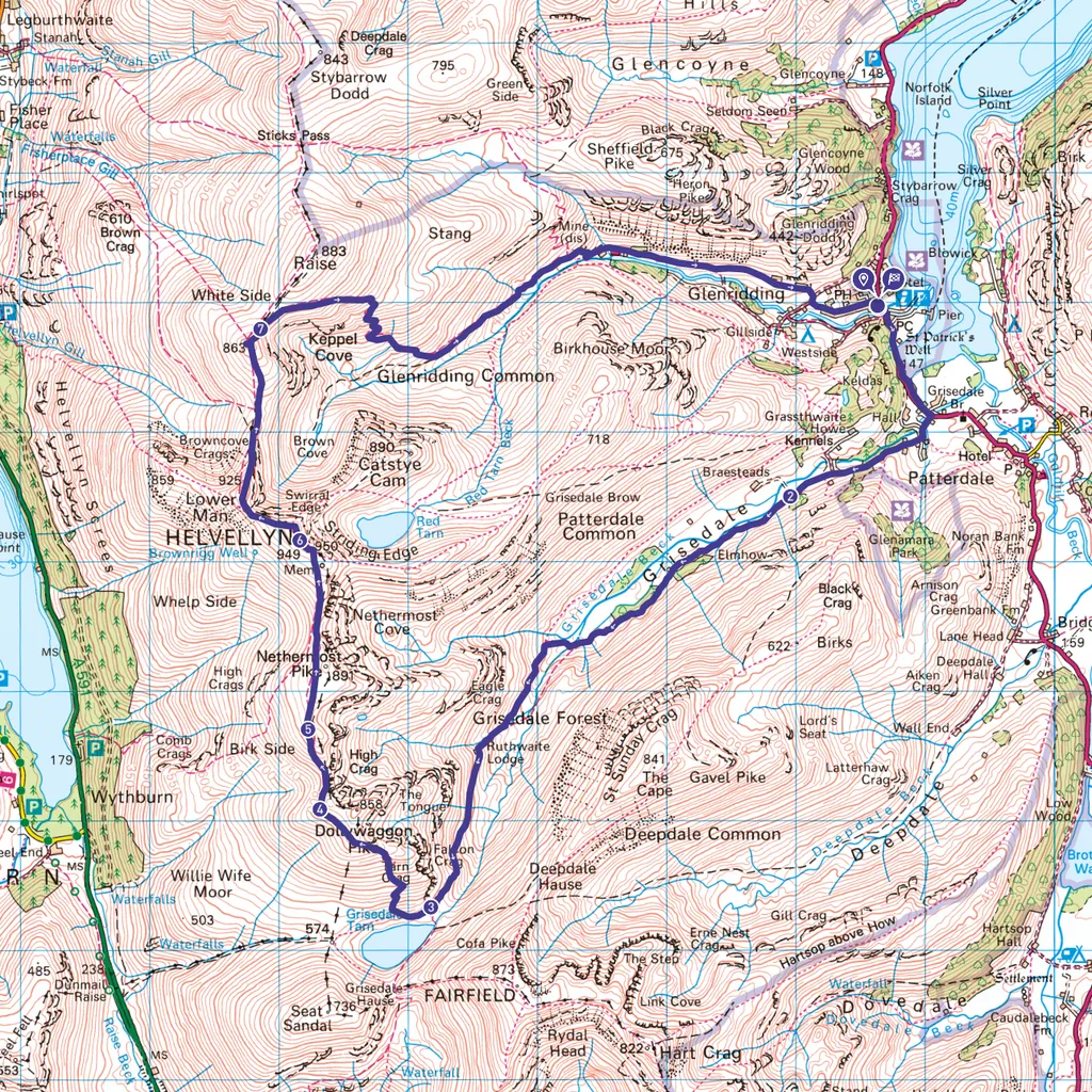
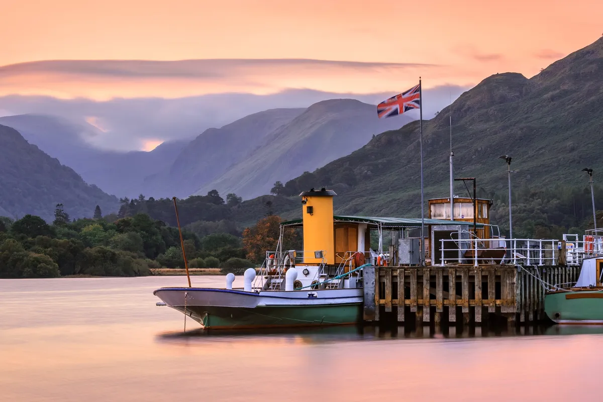
This spectacular Lakeland walk starts at the Lake District National Park pay-and-display car park in Glenridding (CA11 0PA).
The terrain includes a bit of roads and tracks, but mostly open fell, with rough ground underfoot at times. Make sure you have a map in your rucksack (OS Explorer OL5).
Looking for more walks in the Lake District? Check out our trail guides to Scafell Pike, Blencathra, Striding Edge and the Old Man of Coniston.
Grisedale and Helvellyn walk
11.8 miles / 19km | 8 hours | challenging | 965m ascent
1. Start
From the car park, walk to the main road and turn right. As the road bends left after 0.5 miles, take the dead-end lane on the right. After 0.6 miles – where a track goes sharp right at a bench – pass through the gate ahead.
2. 1.5 miles
Keep straight on, beside the wall on your left, as the surfaced lane swings right in another 0.2 miles. This track, later a rough path, eases its way up into ever-narrowing Grisedale for almost 3 miles.
3. 4.3 miles
At the top of the valley climb, with Grisedale Tarn ahead, you’ll see a cairn beside the path. As one path drops left, keep right, soon climbing steeply on a constructed path.
4. 5 miles
The gradient eases considerably as you reach a cairn on Dollywaggon Pike. Leaving the main path here, bear right for the summit cairn. Descend W on a trail, quickly veering WNW. The trail skitters down to a clearer path, just above the saddle between Dollywaggon Pike and High Crag. As this then begins climbing, bear right along a trail rising through the boulders.
5. 5.7 miles
From the sprawling cairn on High Crag, walk N across the grassy plateau to reach Nethermost Pike’s summit. Descend NW, dropping back on to the main ridge path in another saddle. Continue north along this to climb to Helvellyn’s summit shelter and, beyond that, the trig pillar.
6. 6.7 miles
Continue NW along the eastern rim of the high ground, ignoring the Swirral Edge path dropping steeply to the right and then another path to the left. Beyond Lower Man, the descent (N) suddenly steepens. The stony path plummets to a dip and then passes over White Side.
7. 8 miles
In the next dip, just before the ridge route resumes climbing, take the path peeling off right. Nearing the valley bottom, bear left along another broad path, continuing downhill but at a gentler angle. This track later winds its way down past the converted Greenside mine buildings. Nearing Glenridding, follow the lane round bends to the right and left. Re-enter the car park via its vehicle exit immediately after Fairlight Guest House.
Grisedale and Helvellyn map
Grisedale and Helvellyn walking route and map