Few walks encapsulate the landscape and atmosphere of the Peak District like this one.
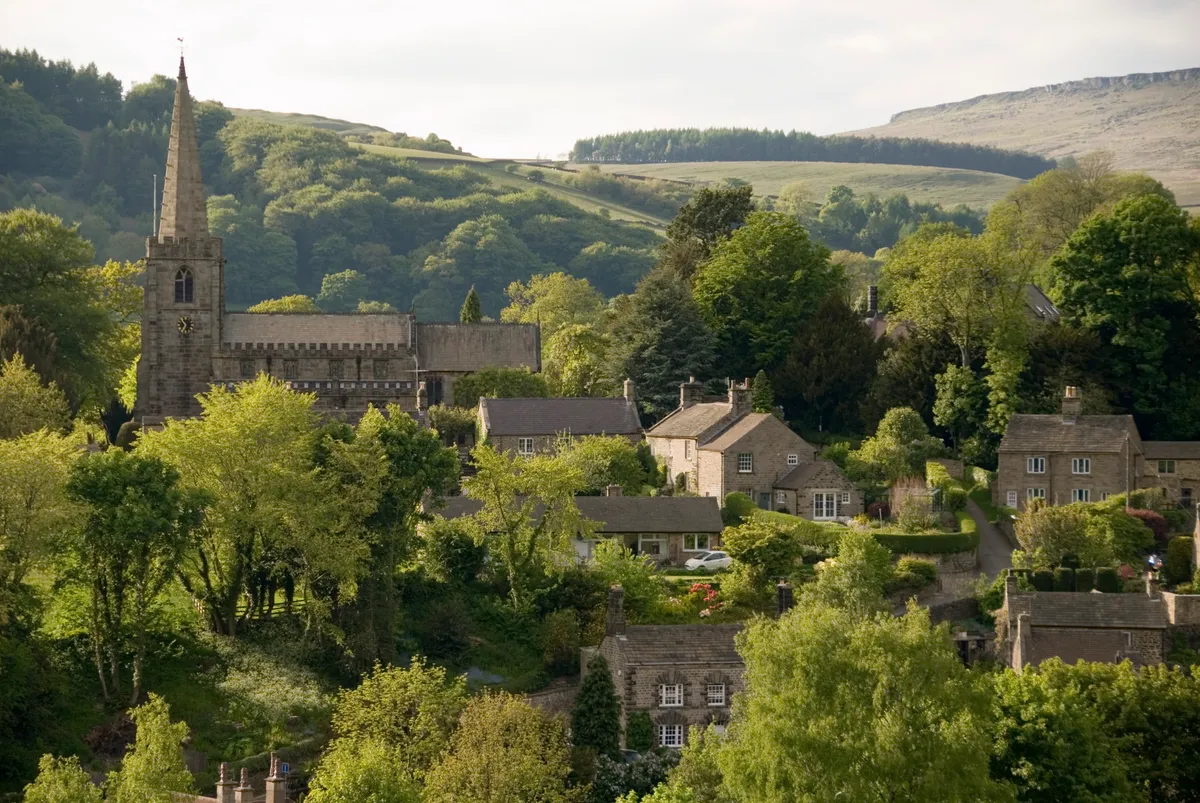
Starting from the picturesque village of Hathersage, the route climbs onto Hathersage Moor, before veering north to the iconic escarpment of Stanage Edge.
The terrain includes farm paths and tracks (sometimes with livestock), roads, woodland trails and open moorland. It includes some rocky ground. Don't forget to take a map (OS Explorer OL1).
The walk starts and ends at Hathersage Railway Station (Hope Valley, Derbyshire S32 1DT).
Looking for more to see and do in the area? Check out our guides to fairytale villages of the Peak District and best walks in the Peak District.
Hathersage Skyline walk
8.7 miles/14km | 4.5–5 hours | moderate | 430m ascent
1. Start
Leaving station, turn left along Station Approach. At B6001 junction, turn sharp right along Back Lane. After 160 yards, take path on right. Entering a field, climb straight ahead to reach A6187. Turn left along pavement for 75 yards. Cross over, take track rising right. Entering woods, the now narrower path swings right. Beyond trees, drop to surfaced track, turn right.
2. 1.2 miles
Go right along minor road for 55 yards; climb stile on left. Head half-left up open hillside, soon following fence. About 120 yards after first encountering this fence – drawing level with small gate - bear left along faint trail, soon joining clearer path from right.
3. 1.8 miles
About 440 yards beyond fence, take path on right climbing to Winyards Nick (shallow gap between two hillocks). Turn left along ridge. Fork right, passing to right of enclosure. Bear left at subsequent forks, making for Higger Tor. Climb steeply, negotiating rocks along Higger Tor’s southern rim. Walk to tor’s northern edge, descend north-north-west. Cross road, go through gate opposite. Of two paths ahead, take one on right.
4. 3 miles
Cross road, pick up path climbing towards Stanage Edge. Turn left along ridge. (Trig pillar is to the right). Having walked ridge for 1.2 miles, join broad track – Long Causeway. Quickly fork left, descending. Reaching road, turn left.
5. 5.8 miles
Take path on right after cattle grid. Keep close to wall on right as it bends right, later crossing stile in intervening wall. After wall gap, continue in same direction but now with wall on left. Beyond gate, swing left.
6. 6.2 miles
Reaching Green’s House, turn left. Right of way winds its way through trees, across fields and over stepping stones to reach track junction above North Lees. Turn right. After gate, head sharp left. North Lees’ driveway drops to Birley Lane.
7. 7.2 miles
Turn right along lane for 200 yards, then go left to join clear path. This becomes broader track – Baulk Lane – passing through fields to reach Hathersage. Cross road diagonally right to join walled pathway. Keep straight ahead, along Oddfellows Road. Turn left at B6001 T-junction. Cross junction with Back Lane, then bear left along Station Approach to reach station.
Hathersage Skyline walk map