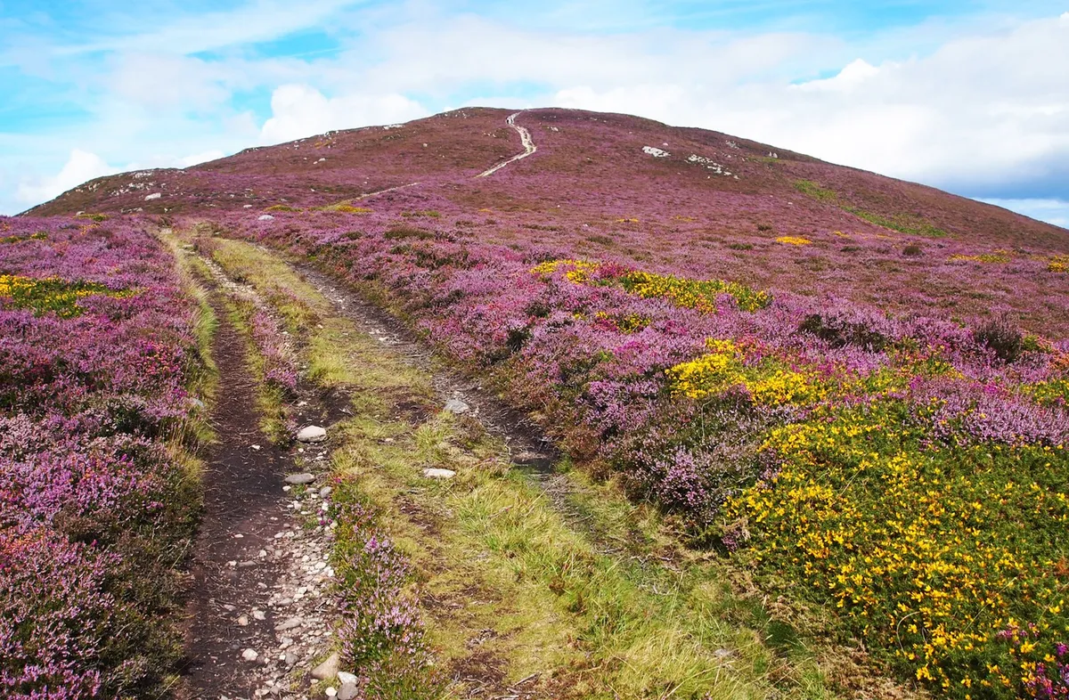
Although known as the Cefn Coch, or Druids’ Circle, these legendary stones date from before the time of the Druids.
It is one of several ceremonial sites built near a prehistoric track by Bronze Age people about 4,000 years ago. Many frightening tales are told about them.
Best walks in Wales
Discover 30 of the best walks in Pembrokeshire, the Brecon Beacons, Snowdonia and more stunning landscapes with our round-up of favourite walks in Wales.

Penmaenmawr to Cefn Coch walk
5 miles/8km | 373m accent | 3.5 hours | moderate
1. Penmaenmawr car park
From the car park, go past the library to the main road and turn left. At Bron Eryri pub on your right, bear left. Ignore roads on the left and veer right, continuing uphill. Stay on this road which, after a left bend, levels out with views across the bay to the Great Orme.
2. Graiglwyd Farm
Take a footpath on the right and keep left of Graiglwyd Farm buildings. Go up a grassy slope to a kissing-gate. Swing left on a clear path that climbs through bracken and a few trees. Above on your right are the rocks of Graiglwyd, the site of a large Neolithic axe factory. Eventually the path veers left to a causeway, then climbs to a kissing-gate in a wall.

3. Cefn Coch
Bear right to a track then turn right along it to a reedy area where you take a wide path on the left; it climbs gently above the track you have just walked. After passing a jumble of stones, where cremated Bronze Age bones were found, you arrive at Cefn Coch (Druids’ Circle). Excavation of half the circle in 1958 discovered a stone grave in the centre with an urn containing the cremated remains of a 10-year-old child. Nearby, another urn held the remains of a 12-year-old and alongside it lay a small bronze knife. Whetstones and quartz crystals were also found and, although unproven, the artefacts suggest ritual sacrifices.
Sinister tales surround the stones. On the east side of the circle, a stone with a ledge on its outer face, which could hold a newborn baby, is known as the Stone of Sacrifice; legend has it that sometimes the stone emits sobs and moans. Standing opposite, the Deity Stone resembles a hooded figure and it is said that anyone who swears near it will be struck down.
4. Jubilee Path
From the east side of the circle, walk downhill to the track and turn right. On your right is a small circle which held quartz. Ignore paths off and follow a wall to a gate. After passing a house, note a large boulder on your right. This is an erratic rock but it could also have been a marker for the Bronze Age track. Follow the track through gates and turn left on another track, below
Foel Lus, to a corner where towers mark the Jubilee Path. Veer left along a lane.

5. Back to the start
Go left through a kissing-gate and walk along the hillside to join a track. Skirt the left-hand side of the reservoir to meet a parking area. Continue down the lane to Graiglwyd Road, turn left and follow it the Graiglwyd Farm. Retrace your steps back to the start.
Penmaenmawr to Cefn Coch map
Penmaenmawr to Cefn Coch walking route and map

Useful Information
Terrain
Clear paths, tracks and lanes. Steady climb to the Druids’ Circle then downhill. Warm clothing, waterproofs and walking boots advisable.
How to get there
By Car: From the A55, take the road to Penmaenmawr, and at the traffic lights go up Fernbrook Road to the car park on your right.
By public transport:
Trains run to Penmaenmawr and buses run from Bangor, Llandudno and Caernarfon.
Map
Ordnance Survey Explorer Map OL17.
Grid ref: SH 717 763
