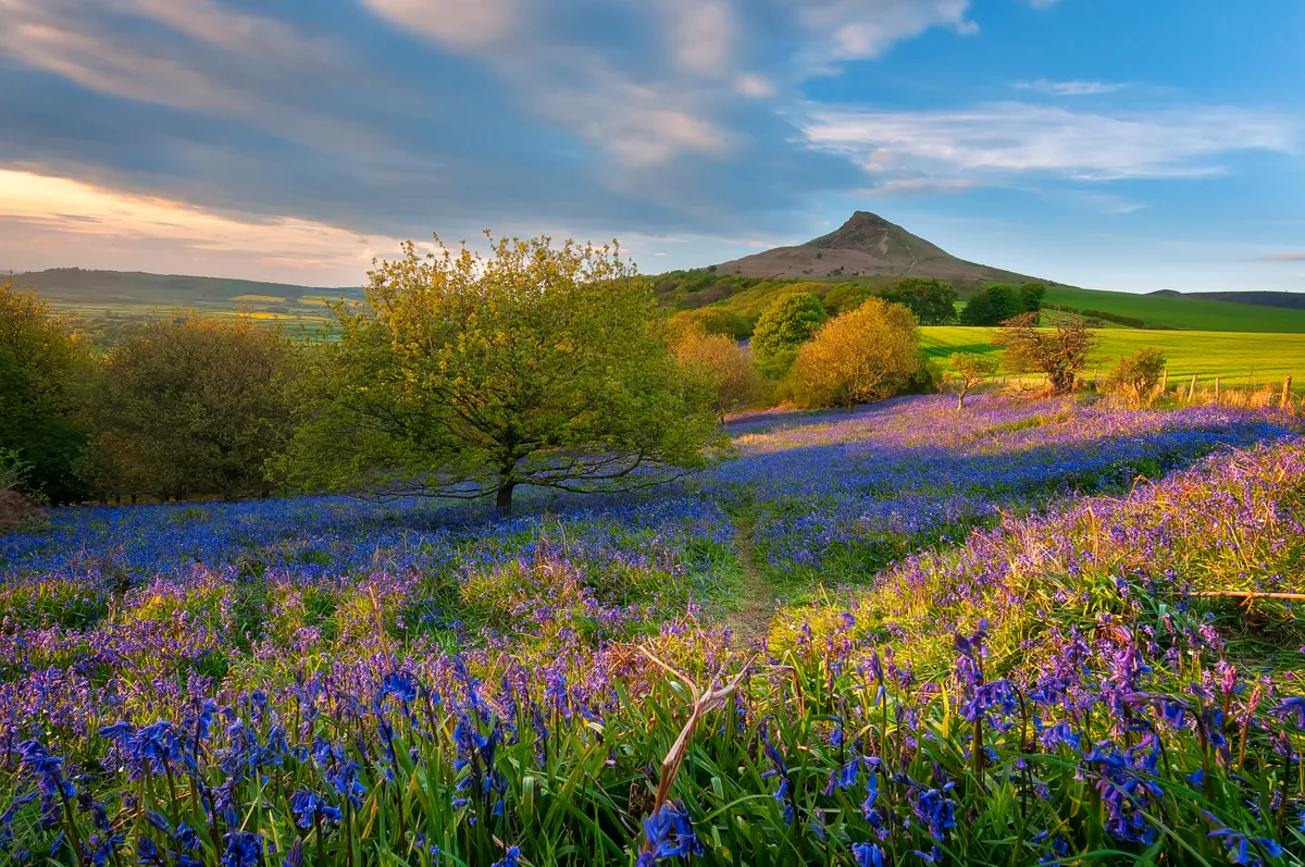
The North York Moors offer an incredibly varied landscape, from ancient woodland and grassy dales to towering sea cliffs and miles upon miles of richly coloured heather moorland.
This route to Sutton Bank provides walkers with one of the finest views in Yorkshire and a chance to see the national park’s varied scenery from up high on the escarpment edge.

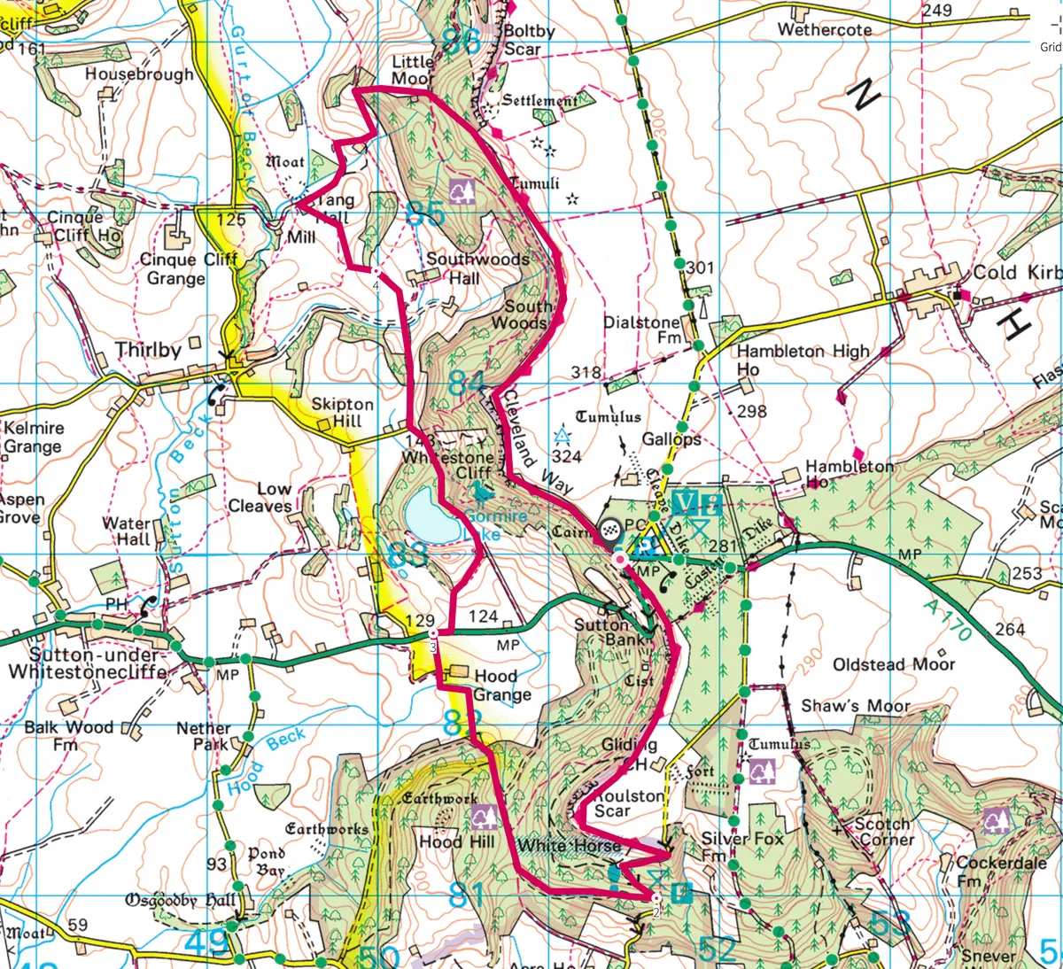
1. Vale view
Cross the main road and take the path opposite, by the milestone, signed Thirsk. Follow the path for 1¼ miles. The view over the Vale of York was vet and author James Herriot’s favourite; look for the towers of York Minster. You will reach Kilburn White Horse, which is 100m (352ft) long and was completed in 1857 by the local schoolmaster. Beyond the horse descend steps to a car park. Turn left, cross the road and climb the verge on to a crossing path. Turn downhill.
2. Bridge crossing
At a crossing track turn right, cross the road and follow the forest track opposite, keeping left where it divides. Where a green waymarker points left go straight ahead, then take a path right, signed Hood Grange. Across the field, go left by the farm, then right through a gate and over a footbridge. After another gate, cross the track to a scissor stile.

3. Gormire Lake
After two more stiles turn right beside the A170 for 135m, then cross to a stile by a gate. Go slightly right, uphill, and then cross a hedge at a waymarked stile. Bear left then go left through two waymarked gates into a farmyard. Turn right between buildings, then left (waymarked) behind a shed. Just beyond a wooden gate go straight ahead, signed Southwoods.
Gormire Lake is to your left. It’s the only lake in the national park and was formed after the last Ice Age, when glacial meltwater found its way blocked. Accessible only on foot, it is edged in summer with a wide variety of plants. It is said that at dusk you may hear the sound of horses’ hooves as the ghost of a knight who plunged to his death over Whitestone Cliff is pursued by the devil.
Walk beside Gormire Lake, eventually swinging away from the water. At a crossing turn left, then left again at a signpost to a house. Bear right through a gate to follow a track to a wooden gate, by the entrance to Southwoods Hall.

4. Whitestone Cliff
The hall was the former home of vet Donald Sinclair, or Siegfried Farnon in the Herriot books. Follow the track; beyond a gate the route bends right. After three more gates bear left towards a gate next to Tang Hall, the site of a moated medieval manor.
Turn right, signed Greendale, along a winding track. By the farm bear left through a gate and cross to another gate. Turn left and climb through trees. Beyond the next gate turn right, uphill, then go through a gate, walk to another, and carry on straight ahead at a crossing track. Follow the path uphill through trees to a wooden gate by open ground.
At the Cleveland Way turn right and follow the ridge for 2 miles to Sutton Bank, passing across the top of Whitestone Cliff.
Sutton Bank walking route and map