
If you’ve ever found yourself on one of those tediously long drives, questioning how the A5183 got its incredibly long name, you’re in the right place. The UK road system actually follows a pretty simple rule and it is based on a clock.
The Great British road numbering scheme (yes, we know contain your excitement!) went about classifying every road in the UK. Back in 1913, it was decided that the UK would be split into quadrants.
In total, there are 9 zones, using a series of major roads radiating out of both London and Edinburgh to split things up. The resulting arrangement has been described as a pie or clock but is still used today.
How does this system work?
In both England and Wales, there are six main roads that radiate out from London. These form the boundaries of the original zones. They are the A1, A2, A3, A4, A5 and A6.
Imagine looking at the UK and drawing a set of imaginary lines along the map. The spaces between these create six geographical sections numbered 1 to 6. Scotland then adds three more zones, numbered 7,8 and 9 that shoot out from Edinburgh.
In any A or B road, the first number simply identifies the zone that it can be found in. For example, the A32 (running between Gosport and Alton in Hampshire) can be found in zone 3.
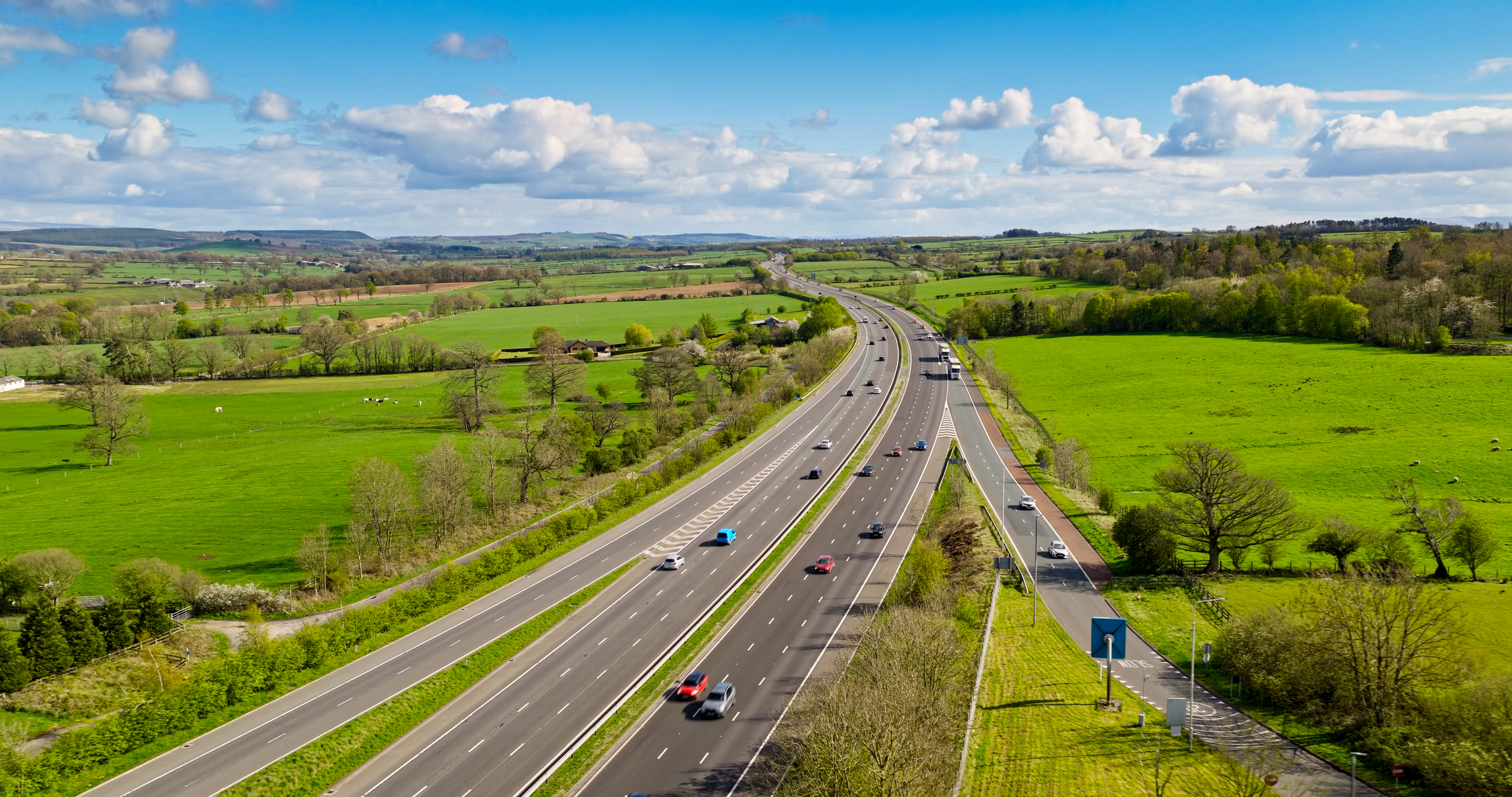
The system also applies to B-roads. These are much smaller and less important routes, but the same idea applies.
But that’s just the first number. While the first number identifies its zone, the following numbers give each road an individual identifier. In the original system, important roads were given two-digit numbers, with lower numbers generally assigned to the most crucial roads.
These were often allocated in a broadly clockwise sequence around London. The A30 runs from London towards Penzance, while the A31 connects Guildford with Bere Regis. The A32, on the other hand, is a much shorter road.
However, as more and more roads have been built, this system has fallen apart a bit. With changes to the road network, new routes, renumbering and big overhauls, the pattern is pretty inconsistent. The remaining digits no longer reliably indicate anything important.
What about motorways?
Motorways first came to Britain over three decades after the advent of the A-road numbering event. While based on the same zoned system, motorways weren’t as heavily based on the additional numbers.
The first six motorways - the M1, M2, M3, M4, M5 and M6 - broadly established the boundaries for motorways.
Other motorways generally take their numbers from the zone in which they can be found. The M32 near Bristol is based in zone 3, whereas the M40 is in zone 4.
