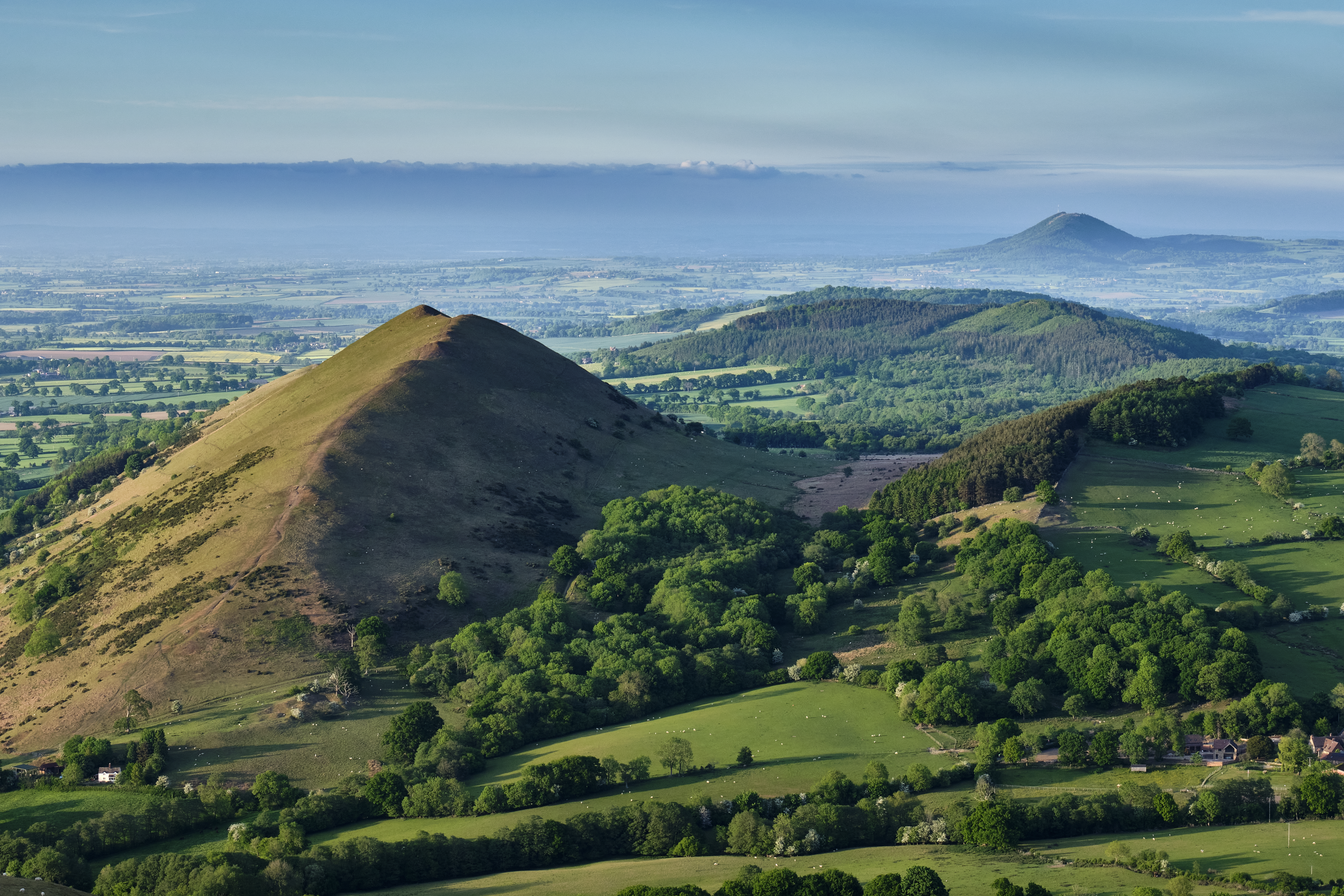
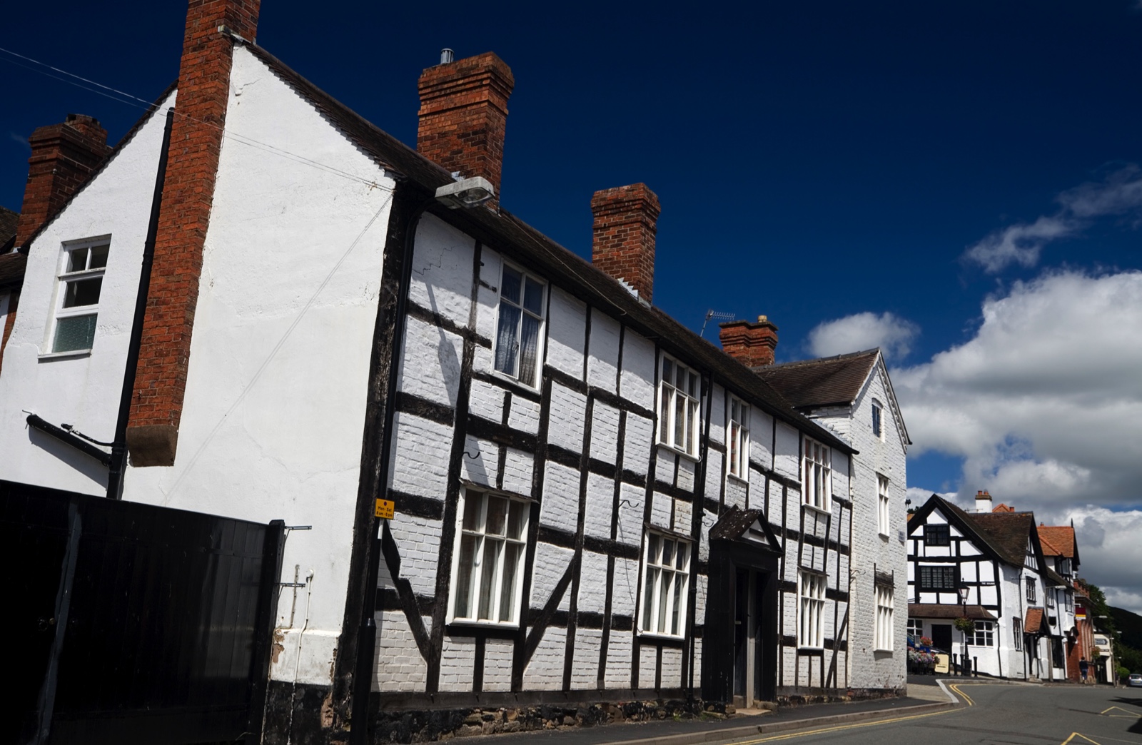
Shropshire’s geology is complex and the topography distinctive. Their curves and creases. Names and shapes. Betwixt them, frequented by centuries of walkers, lies the small town of Church Stretton, which was nicknamed Little Switzerland by the Victorians because of its alpine-like valleys and natural mineral springs. It is the perfect place for a Navigation Skills Holiday.
The Longmynd Hotel is one of many HF (Holiday Fellowship) country houses in rural locations from Cornwall to Glen Coe. HF is best known for Guided and Self-Guided walking holidays, and the dozens of happy hikers we share the hotel and meals with are keen to hear how we get on. Nevertheless, active and special interest holidays like this one are increasing in popularity.
How to master map skills
Three nights in the Shropshire Hills with more breakfast than I care to admit to, is a treat, though I feel slightly apprehensive. I mainly write features and books these days, but my maverick approach to producing walking guides is about to be exposed. Most people like to know where they are going before setting off, while I prefer to nose out a walk using instinct, before plotting it onto a map. Nevertheless, I know that anyone, no matter their fitness, kit and experience can turn an ankle on a path or fall ill; knowing how to get help and give accurate locations is crucial.
Myself and the other navigators are in the safe hands and excellent company of tutor Rebecca Morris, who has spent decades teaching navigation skills to scouts, young people, Ramblers, and Mountain Leaders.
Successful completion of our tasks will qualify us for a National Navigation Award Scheme (NNAS) Bronze Award. Becoming lost as night or bad weather approaches can turn a pleasant walk into an ordeal. This is serious business. But it is also hugely enjoyable, thanks to the group rapport, landscape, and accommodation; it is quite something to come in from the windy wet fields to a rather large dinner party. The bonhomie is enhanced by Rebecca and the walk leaders who, I discover, are all volunteers, and enjoy being here as much as the paying guests do.
The combination of indoor and outdoor activities works a treat. As well as giving us flexibility regarding the weather, it also means we are consolidating in the field, what we have just learned indoors. Now, for example, after successfully navigating our way via Old Rectory Wood into and through Church Stretton, we seem to have overshot the cut-through by a stream that should link us to a track to Nover’s Hill.
We gather around our laminated maps to figure out where we went wrong. Under Rebecca’s guidance, we retrace our steps to the last part of the route we had been sure about. ‘Do you remember Distance and Duration?’ she prompts. It is time to apply the 5 Ds; Destination, Direction, Duration, Distance and Details.
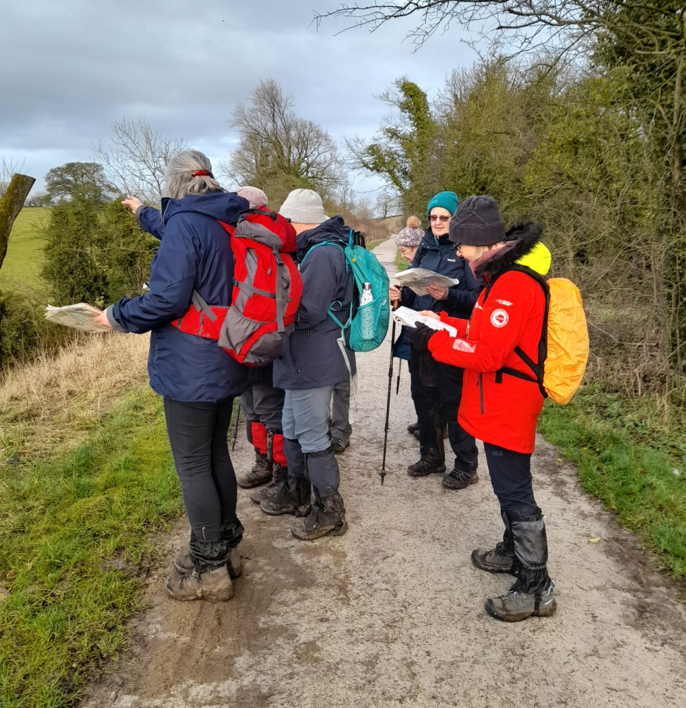
For this we need to use our ‘magic numbers’ (the number of times our left (or right) foot touches the ground over 100m) which we have already paced out. Mine is 62. Now, we scrutinise the map to estimate how many metres (and therefore how many paces) it is to the location we have missed. Success!
The cut-through had become overgrown. Our expedition continues in a similar manner, paying close attention, stopping regularly to work out in advance what the terrain will be like and, having judged we are walking at about 3km per hour, how long it should take to reach specific points. On doing so, Rebecca encourages us to look for three bits of evidence to prove we are where we think we are, such as rising ground, a fence and a track.
The Beginners course is about becoming comfortable and confident in using maps to follow footpaths in low-lying terrain of mostly fields and woodlands. It does not include crossing open ground or ‘doing twiddly bits with the compass’ as Rebecca calls them, which are covered in the Silver Award (which HF will be offering in 2026).
Why do compasses spin?
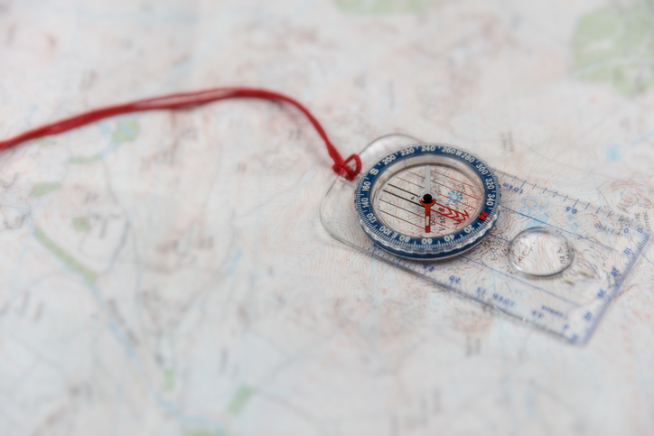
Nevertheless, we do need to know where north is and how to set the map, which we practise indoors on Sunday morning. Confusion breaks out when our compasses spin in different directions, until Rebecca, whose years of experience imbue her with resourcefulness and a stash of top tips, suggests we ‘look at what’s under the table.’ Sure enough, we find the central leg to be a big chunk of steel with its own magnetic field.
It is around the disorienting table, that we familiarise ourselves with maps of differing scales and discuss various technology. ‘If you’ve got it, to leave it at home would be daft’, says Rebecca who uses the OS app and GPS, but explains that the paper OS 1:25,000 map is still the most vital and reliable bit of kit.
It is also around the table that we learn how to use and give grid references, and that in a medical emergency away from the road, one should call the police; on having given them the location, it is their responsibility to choose the appropriate emergency service for the terrain.
By Sunday afternoon we are skilled-up and slightly nervous, as each of us will take a turn leading part of a circular route. We all find urban areas tricky due to the density and diversity of roads, but after a faulty start, we’re successfully brought us out of town.
My turn. In normal circumstances, I would follow the route I like the look of. Now, using my freshly acquired skills, I tell my new friends that we will continue along a bridleway with a stream down in the valley to our left, then cross a field boundary and enter some woods. There, we will find a junction of paths boxed in between two steep wooded hills, and it should take us about ten minutes to get there. The story the map has told me, is exactly how it pans out.
Home and dry, we gather around the table for the final time. There’s a palpable buzz of achievement mixed with pleasure among us newly qualified navigators. We have all become more observant. We won’t forget the Five Ds; Destination, Direction, Distance, Duration and Details, and how to apply them.
Everyone has enjoyed using the map to tell the story of what to expect on the ground, while understanding that the landscape can still offer unexpected challenges such as fallen trees, that we now have the skills to negotiate. Often the surprises are pleasant; a thin black line indicating a boundary on the map might turn out to be a simple fence or conversely, a treasure like the grown-out ancient tree boundary of Ragleth Woods.
I have enjoyed slowing down. Being deliberate. Paying attention to the map as well as to views, weather and wildlife. I have learned how navigation itself is a pleasure and the planning and preparation of a route a kind of ritual. I won’t be abandoning my instinctive approach to walking, but I will almost certainly mix it up a bit. It’s been a joy being back in the Shropshire Hills, and I leave with a Bronze NNAS Award under my belt; which is straining somewhat, due to the extra contour lines on my belly.
Special interest holidays
Five skills holidays for you to experience this year
Next Step Navigation in the Shropshire Hills is one of several HF Holidays that will qualify you for the NNAS Silver Award, covering open ground and compass techniques.
Intro to Off-Road Riding is one of many outdoor holidays run by Much Better Adventures. Develop your mixed terrain cycling skills in the chalk country of the Chiltern Hills.
Knitting in Shetland this holiday combines workshops and tuition from local experts with visits to museums and woollen mills in the Shetland Isles.
Introduction to Bee Keeping is one of many opportunities for outdoor learning at the Centre for Alternative Technology in mid-Wales, from allotment management to restoration ecology. Accommodation is in the award-winning rammed earth building.
Folk Singing Retreat Learn how to sing traditional and contemporary folk songs from shanties to ballads, from rounds to choral arrangements. Accommodation is in hostels in beautiful locations, but they sell out quickly.
Discover more outdoor inspiration
- Trail running guide: what it is, benefits, what to wear, and getting started
- Fill your summer with exciting outdoor adventures and challenges, from shark spotting to conquering fears
- Most beautiful Parkrun routes in the UK
Julie Brominicks lives off-grid in Gwynedd and is the author of The Edge of Cymru. Her book Cader Idris will be published in September 2026.