Tiny, pantiled cottages, honeycombed with narrow courtyards, tumble down a narrow gully to the sea. Front doors look over neighbours’ roofs and vertiginous stone steps link the different levels.
Down at the shore of Robin Hood’s Bay, boats are still drawn up on the rocks of Landing Scar, a reminder of the village’s smuggling days.
Learn more about this picturesque little fishing village, including its local history, best places to eat and drink and wildlife with our 2.7-mile walking route.
Looking for more walks in the North York Moors? We have plenty of routes to choose from, including Roseberry Topping, Sutton Bank and Forge Valley Woods.

Where is Robin Hood's Bay?
Robin Hood's Bay sits on the coast of North Yorkshire in England in North York Moors National Park, between Whitby and Scarborough. It is a small fishing with a long history.
In 1800, everyone who lived in Bay Town, as its known locally, was said to be involved in this illegal transportation of goods. The villagers linked their cellars up the steep slope so that contraband, received at the shore, could be passed underground to the cliff top, unbeknown to Bay Town’s customs officers.
Why is it called Robin Hood's Bay?
Robin Hood, Britain’s most popular and enduring folk hero, is usually associated with Sherwood Forest, which is about as far as you can get from the sea in England. So why does a bay on the North Yorkshire coast bear his name?
There are several versions of the story, but the most widely accepted seems to be that our hero in Lincoln Green once successfully fought a battle with a notorious piratical cleric known as Damon the Monk, who had been harrying coastal villages. In true swashbuckling style, Robin strung Damon and his crew up from their own yard-arm.
The truth is, of course, that Robin was a kind of medieval superhero, and his moniker crops up in place names all over the country, from Cornwall to Caithness.
But there may just be an inkling of truth in the local legend, for on Stoupe Brow on the moors above the bay, there is a Robin Hood’s Butts, where the man in tights could have practised his archery.

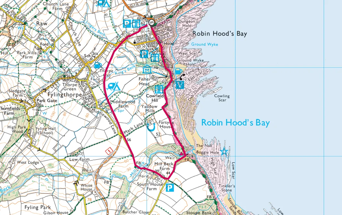
Robin Hood's Bay walk
2.7 miles/ 4.3km | 1.5 hours | easy-moderate | 137m ascent
1. Station Car Park
This 2.7-mile coastal walk starts south from the Station Car Park on the hilltop above the village (visitors’ cars are not allowed in the narrow streets) and follows the disused Scarborough to Whitby railway line, opened in 1885 and closed in 1965, for just over a mile.
2. Boggle Hole
Just before the way goes across a bridge, turn left down steps, and then left on the road. This leads into Boggle Hole on the coast.
3. Cleveland Way
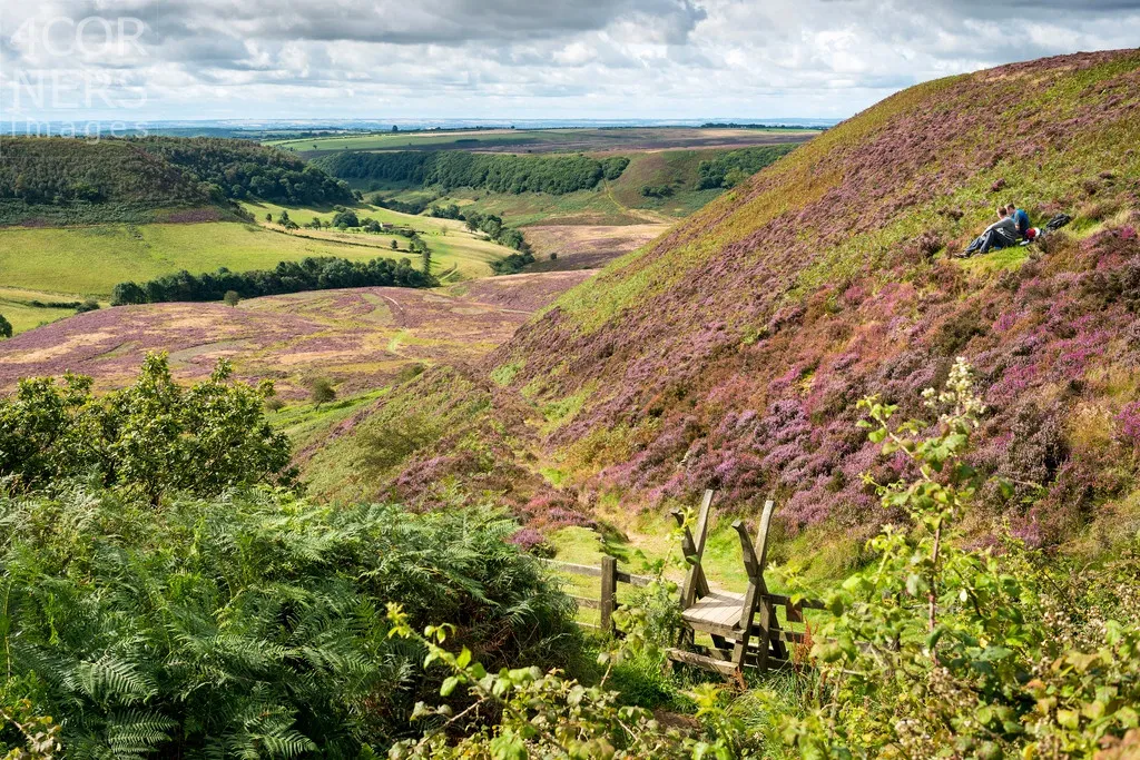
Cross the inlet on a bridge to join the Cleveland Way, following the National Trail's acorn signs along the cliffs – with their spectacular sea views – back to Robin Hood’s Bay.
Robin Hood's Bay walking route and map
Robin Hood's Bay walking route and map.