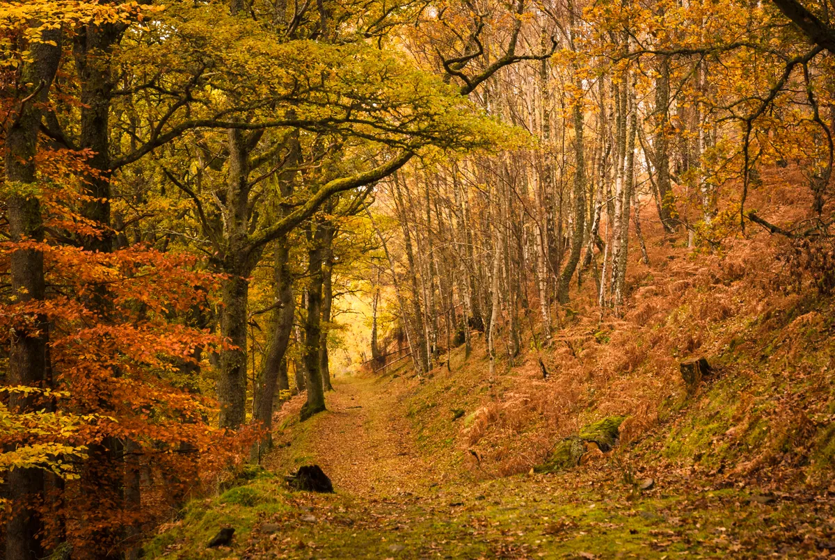
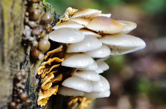
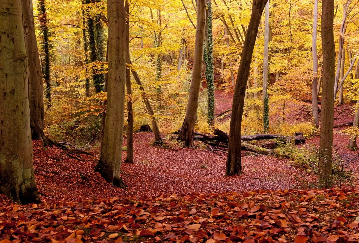
Famed for its beech and oak pollards – many of which are more than 400 years old – Burnham Beeches National Nature Reserve in Buckinghamshire is one of the best examples of ancient woodland in Britain. The woodland is home to a rich variety of fungi, plants and animals.
Take a walk through this beautiful forest, stopping off halfway at one of two country pubs – The Blackwood Arms or The Jolly Woodman.
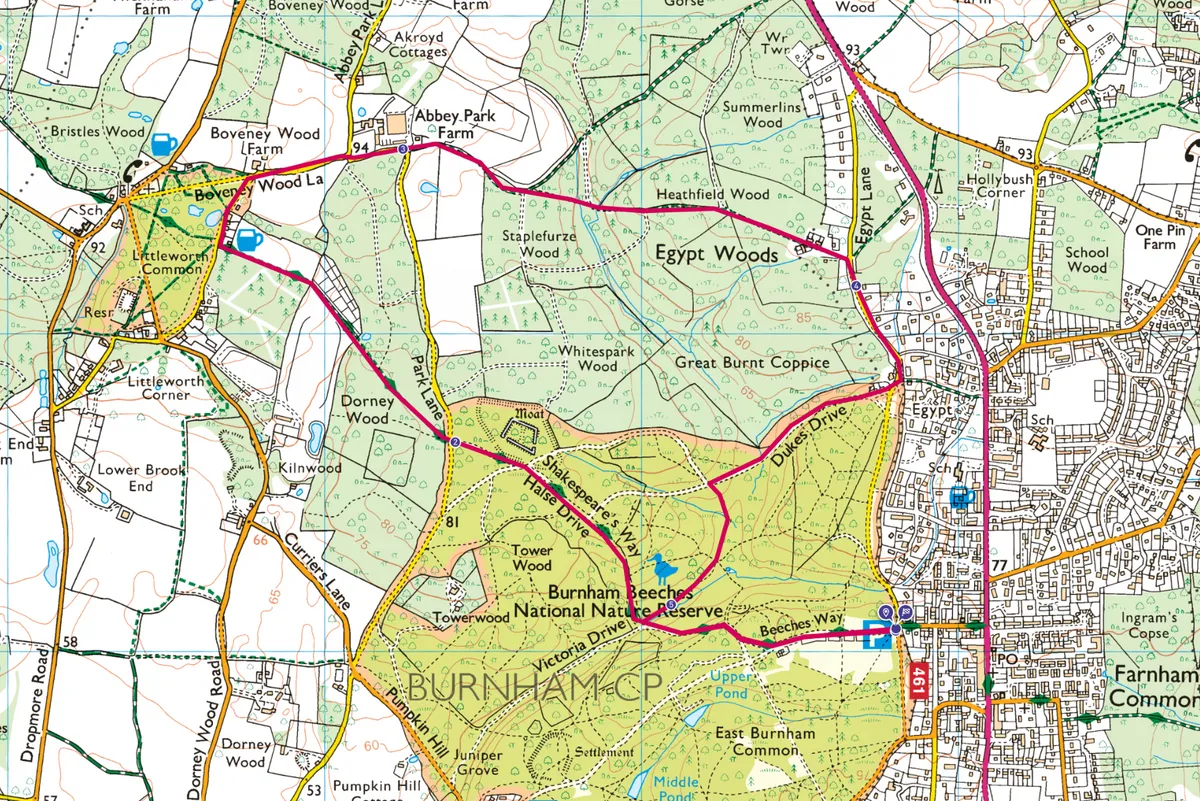
Burnham Beeches walk
4.6 miles/7.4km | 52m accent | 3 hours | easy–moderate
1. Pollarded woods
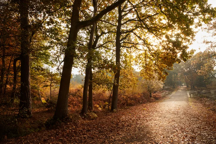
From the car park, head west along Lord Mayors Drive to reach the Beeches Café and an information point housing facts about the reserve. Continue ahead to a crossroads known as Victory Cross. Turn right and pass to the side of a wooden gate, entering a traffic-free zone, then carry on along Halse Drive. Soon, distinctively-shaped beech and oak trees come into view. Their unique look is the result of centuries of branches being cut just above head height, in order to produce a continuous crop of timber; a practice known as pollarding.
Continue downhill to a junction of tracks, with Victoria Drive to the left. Walk ahead, where the surrounding woodland may reveal woodpeckers or deer, and also look out too for fungi.
Pass Dukes Drive on the right and, at a junction of tracks, turn right along McAuliffe Drive. After about 40m, go through a gap in the trees on your left to see an information plaque, beyond which are the remains of Hartley Court Moat – one of three Scheduled Ancient Monuments in Burnham Beeches Estate. Walk back to the junction of tracks and turn right. Pass an information shelter on the left, then take a right-hand fork in the track. Continue ahead to reach a road.
2. Beeches Way
Cross the road, leaving behind the reserve, and go through a metal kissing gate to follow the Beeches Way through Dorney Wood. Ignore a permissive path on the right and keep ahead. Go through a kissing gate at the far edge of the wood and walk between the lines of two wire fences.
Keep to the path, eventually reaching a road. Turn right and pass the Blackwood Arms (serves a large selection of ales and fine wines) to reach a T-junction. If you're looking for another lunch option, turn left and then right to find The Jolly Woodman (a characterful redbrick inn). Otherwise, take a right at the T-juntion, pass Abbey Park Lane on your left and continue to a sharp right-hand bend in the road.
3. Egypt Woods
At this point, walk ahead along a signed footpath. Go through a kissing gate and cross a field, keeping a hedge to your left.
Climb over a stile at the far side of the field and follow a woodland track. Ignore a permissive path to the right, then take a right-hand fork in the path soon after. Drop downhill and walk up an incline, with Heathfield Wood to the left and Egypt Woods to the right. At the end of the path, follow a well-surfaced lane past houses to reach a road.
4. Cottages in the trees
Turn right along the road, paying attention to any oncoming traffic. Ignore a signed footpath to the left and turn right, passing a post box and cottages on your right. Pass a metal gate and re-enter the traffic-free zone of the reserve, as you walk along Dukes Drive. On reaching McAuliffe Drive to your right, turn left to follow Burnham Walk downhill. Follow the track and, at an obvious but unmarked junction of paths, continue ahead. After about 300m, you reach another junction of paths.
5. Tea on return
Turn left here, along the well-surfaced section of Halse Drive used earlier on the route. Continue uphill and pass the wooden gate, then turn left at Victory Cross. Pass the café and walk back to the car park.
Burnham Beeches map
Burnham Beeches walking route and map
Useful Information about Burnham Beeches
Terrain
Well-marked paths and lanes over gently undulating ground.
How to get there
by car: Burnham Beeches lies between Beaconsfield and Slough. To access the car park, turn off the A355 in Farnham Common along Beeches Road. Parking is free, but voluntary donations, which go towards the upkeep of the reserve, are encouraged.
By public transport: Bus number 40 runs between Slough and Hedgerley, Mon-Sat. Bus number 74 runs between High Wycombe and Slough, daily. Both stop on the A355 at Farnham Common. If travelling by train, bus connections are available at Slough and Beaconsfield stations, but not Burnham.
Refreshments
The Blackwood Arms Common Lane, Littleworth Common, Burnham SL1 8PP
01753 642169
Map
Ordnance Survey
Explorer 172.
Grid ref: SU 957 850
More info
High Wycombe Tourist Information Centre
5 Eden Place, High Wycombe
HP11 2DH
01494 421892
www.visitbuckinghamshire.org
Chilterns Area of Outstanding Natural Beauty
www.chilternsaonb.org


