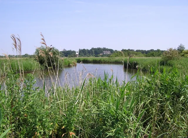
Walking in the Norfolk Broads is a lazy thing to do - it’s not generally hard going, it’s very flat and the views are long and peaceful.
Tiny country lanes, damp winding paths and lonely byways characterise much of the area. There are ways of a mile or so for after-dinner walks; and there are more ambitious trails, such as the 78-mile Angles Way that need a plan and an early start.
This walk from the village of Ludham falls somewhere in the middle, a 6.7-mile stroll with just 22 metres of ascent.
Looking for more options? Check out our guide to the best walks in Norfolk.

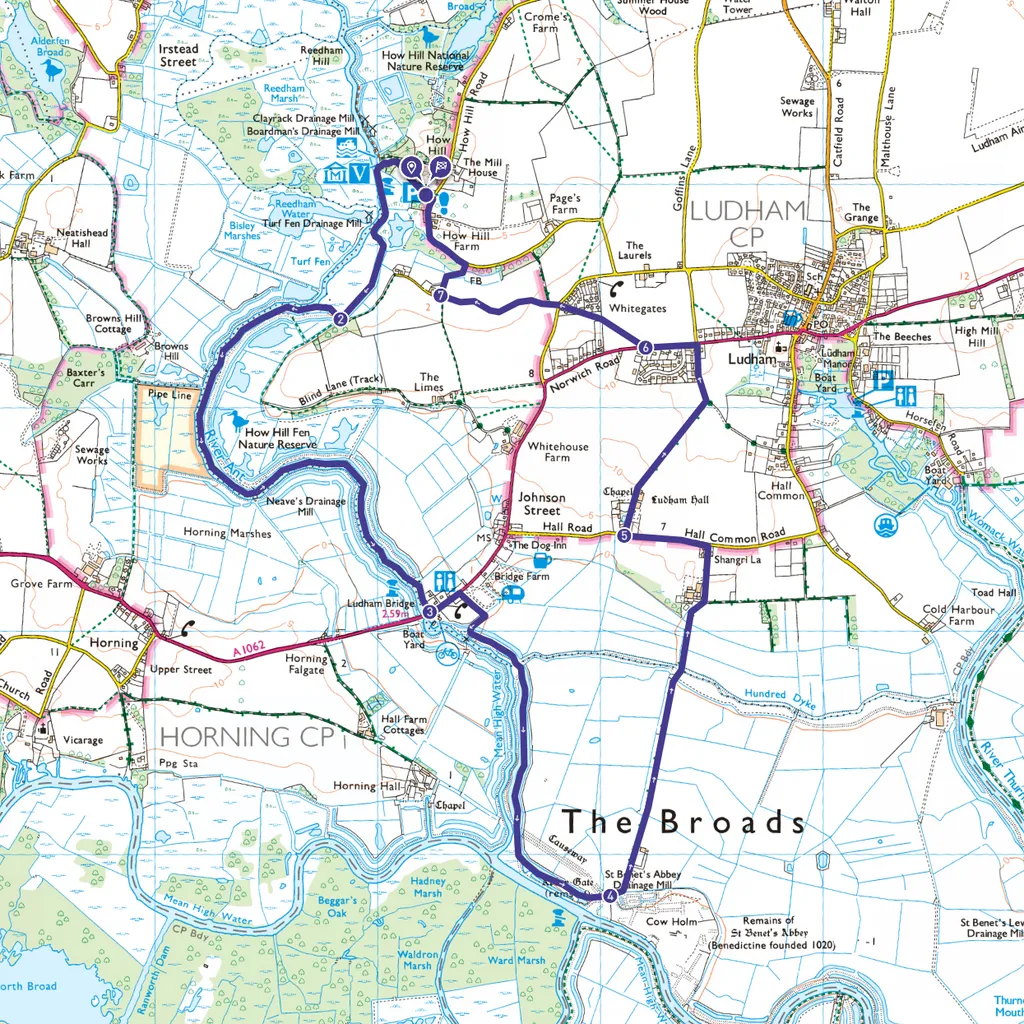
Ludham walk
6.7 miles (10.8km) | 4 hours | easy | 22m ascent
1. Start
Start at How Hill National Nature Reserve, where there is parking. Walk 200m across the grassy lawn and turn through the gate to Toad Hole Cottage museum. Have an early ice-cream and use the loos. Cross the footbridge to the river, turn left and follow the path for 300m. The initial hard path gives up, cuts left, and becomes a grass path along a bank.
2. 0.7 miles
After 475m ignore the yellow way marker directed across the marsh by some trees, and follow the path to the right, back towards the river, and walk a further 2.5km.
3. 2.4 miles
At Ludham Bridge turn left at the road. Here there is a shop, bakery and public toilets. Walk 150m along the Tarmac path by the A1064 Norwich Road and cross to follow the sign for ‘St Benet's Abbey’. Go through the gate, towards the marshes. Follow the path for 250m to rejoin the river bank, head left and follow the permissive path overlooking the marshes for around 1.5km.
4. 3.6 miles
At St Benet’s Abbey go down the steps and path through two metal gates which leads to a small car park. Pass through and onto the straight, concrete farm track. Walk 1.5km to the T-junction at its end and turn left onto the small road.
5. 4.9 miles
After 375m follow the sign-posted 'Restricted Byway' through a red brick entrance, passing Ludham Hall to the left. Continue 1km through the fields, following the track bearing left onto Lover’s Lane, past houses, into Ludham village. At the T-junction turn left to follow the A1064 Norwich Road for 250m then there is a Footpath sign on the right, just before the bend.
6. 5.6 miles
Go through the hedge and walk 500m - obliquely across the field, through a hedge into scrub land between houses. Emerge onto School Road and cross into Turf Fen Lane. Follow the road for 600m.
7. 6.3 miles
Turn right onto a small footpath, through a narrow gate where the path wriggles 250m through a reedbed and across a footbridge before ending at a How Hill Road. Turn Left. Follow the road 400m back to the starting point at How Hill.
Ludham map
Words: Toby Hough, Countryfile Director