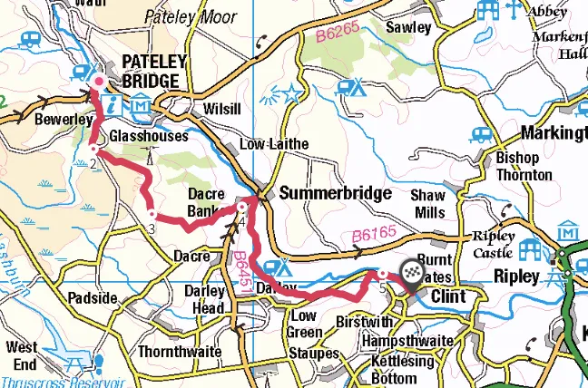
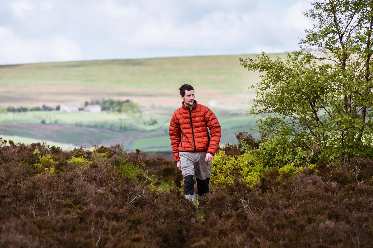
Between Pateley Bridge and Birstwith, you will find the very best section of the 53-mile Nidderdale Way. Nidderdale AONB is, in every sense, a classic Yorkshire dale, but was regrettably excluded from the recent expansion of the National Park.
For the lowest possible carbon boot-print, arrive by train on the national rail network at Harrogate station to connect with the regular number 24 electric bus service to Pateley Bridge.

Nidderdale's electric buses
In November 2019, the Harrogate Bus Company won top prize in the environment category at the UK Bus Awards. One year earlier, the company had introduced eight all-electric buses on to three routes from the Yorkshire town.
The fleet was made possible after winning funding from the Government’s Low Emission Bus Scheme. The ‘Harrogate Electrics’ receive a full overnight charge at the depot and, once in service, charging points at Harrogate bus station deliver a top-up charge through a pantograph on the roof of the bus. This provides enough power for the vehicle to operate for up to 35 miles before recharging.

A 9.8-mile hike along the Nidderdale Way in Yorkshire.
1. River to chapel
Stock up on goodies in Pateley Bridge and then cross the River Nidd to follow the road into Bewerley. Take a moment for a brief look at the 15th-century Bewerley Grange Chapel. This is where you join the Nidderdale Way and route finding will be easy as all the fingerposts have been renewed in the last year.igh lands
On a clear day, as you climb to Yorke’s Folly, you can see the distant Brimham Rocks to the east, and the rooftops of Pateley Bridge to the north, with Upper Nidderdale and Gouthwaite Reservoir beyond. The way runs briefly across the moor above Guise Cliff before joining a farm track from High Hood Gap to the tiny hamlet of Heyshaw.
2. Royal refreshments
A brief section of stone causeway helps you cut across moist fields to Lanes Foot from where firm tracks proceed, descending across fields into Dacre Banks. Here, the Royal Oak offers an excellent opportunity for refreshments.
3. Forgotten railway
From Dacre Banks, join the Nidd’s charming riverside path, looking out for 17th-century Low Hall on the right. The Nidd remains infallible company and for a short section you will discover the remains of the old railway line, which closed in 1964.

4. The way parts company
with the river, heading across to the valley road at The Holme. Cut across fields and then climb on another section of stone causeway through woodland into Swarcliffe. This is a great place to look for forked-tail red kites, who will watch you curiously as they hang effortlessly in the air.
5. Go with the flow
Head back down to the river at the delightful New Bridge, a graceful arched packhorse bridge. Turn right and remain on the riverbank as you walk into Birstwith, where you can head for the cosy hospitality of the Station Hotel while you await your number 24 bus back to Harrogate.
Map
Nidderdale Way walking route and map