The Yorkshire Dales National Park made the news this summer when, on 1 August 2016, it grew in size by nearly a quarter.. The boundary extension saw it stretch further north and westward (to within “touching distance” of the Lake District) swallowing up the northern Howgills, the River Lune Valley, Wild Boar Fell and the Devil’s Bridge, amongst other sites of interest. But the spiritual centre of this craggy and limestone-riven region still remains the three iconic peaks near its heart.
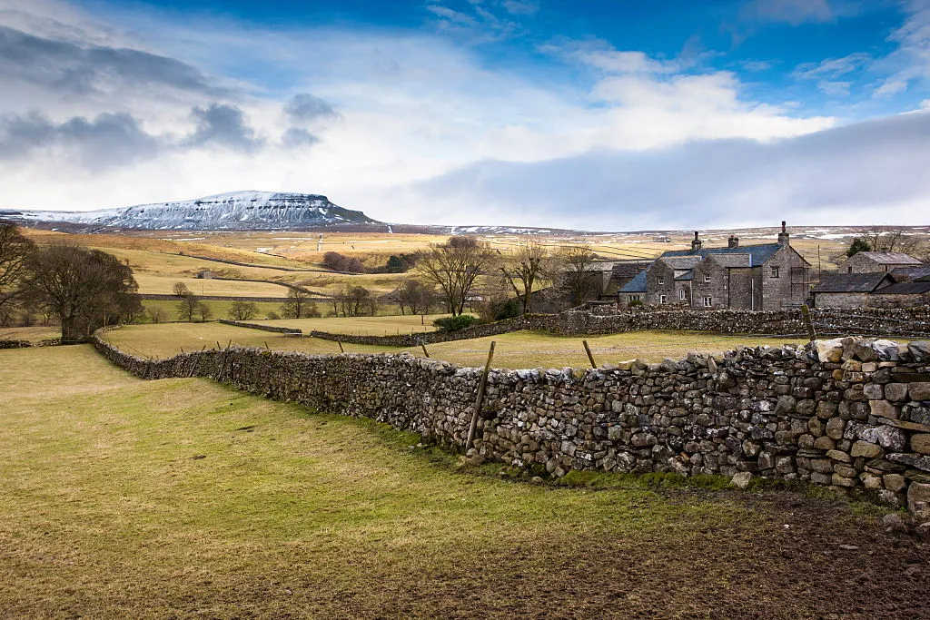
These are Pen-y-Ghent (694m), Whernside (736m) and Ingleborough (723m), a trio of impressive Pennine hills that rise from the boggy and gently undulating moorland around the Ribble and Chapel-le-Dale valleys. They share a similar and distinctive geology, being built on a limestone base, with mudstone and sandstone bands reaching upward to be capped by varying amount of grit on top. While most would agree that it’s only the first and last of the three whose sculpted forms really tend to catch the eye and the imagination (Whernside is often unfairly dismissed as a bit of a lump), each has its own unique interest, which is only magnified by the natural bond of their close proximity.
But there’s more to it that that. It’s not just that walking a near-marathon distance circuit between the three seems so natural and pleasing, or that the phenomenally popular Yorkshire Three Peaks Challenge encourages walkers to achieve that feat within 12hrs, or that it’s fine walking country in itself... but also that the act of doing so - in wind, rain, sleet, hail and sun (and that’s in the summer months) - seems to capture and define the character of North Yorkshire so perfectly; In a human and a geological sense. It’s more than just “Millstone” Grit that makes these parts what they are.
Pen-y-Ghent, being the lowest, rockiest and arguably the most accessible, makes the best choice for a stand-alone ascent. Sitting just 3km east of the Three Peaks “hub” of Horton-in-Ribblesdale, the village is linked to the peak’s summit by the Pennine Way, too. This makes a wander up its southern side, on which it’s fun but not entirely necessary to use your hands on the stepped rock, a fun adventure for all ages. Ingleborough is next in appeal, with its distinctive banded appearance and prow-like build being complemented by the historical interest that an iron age hill fort once stood here.
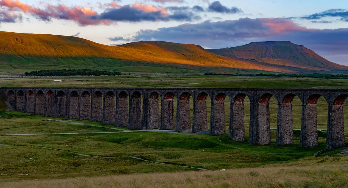
Ascent is best made from the town of Ingleton to the west, from which it’s a 6km walk either way along the track which OS maps mark as “A Pennine Journey”, after the work of acclaimed guidebook writer Alfred Wainwright. Whernside, meanwhile, might not have the initial aesthetic appeal of its neighbouring brothers, but ascents from Ribblehead to the south-east and Dentdale to the north-west make for vigorous walks - and few can argue with the summit view on a fine day, which stretch to Cumbria and Morecambe Bay.
To discover more about the Yorkshire Three Peaks, visit the National Park website: yorkshiredales.org.uk
