For thousands of years people have been using the clouds to accurately forecast the weather, but with recent advances in technology this practice has largely stopped.
However, being able to forecast the weather by reading the clouds is still important as official forecasts don’t usually consider any of the local effects which could drastically influence the weather near you, and of course accurate weather forecasts are not always available anyway.
To get an idea of how the weather will develop for the precise spot where you're standing (or walking, sailing, golfing, fishing, etc.) you don't need any equipment or a wifi connection – you just need to look up.
How to predict the weather using clouds
Here is our expert guide to reading clouds, including common cloud formations and how they can be used to predict the weather forecast.

It is actually very easy to learn the basics of forecasting the weather using the clouds, and I would encourage everyone to give it a try – you will be surprised at how correct your forecast can be. The best way to start is to learn how to identify a few clouds, and then learn what kind of weather they indicate.
Common types of cloud formations
Cirrus clouds

Cirrus clouds are some of the most basic clouds you can use to forecast the weather, and they are very easy to identify. They are the highest clouds in the sky and are made up of wisps or streaks of ice crystals. They indicate that it is about 12-24 hours before a warm front will arrive, and this means that it will rain for about 4 hours before its arrival. Cirrus are nicknamed mare’s tails, from the streaks of ice crystals that fall beneath them. However, don’t assume that cirrus clouds always mean rain is coming; sometimes they can mean the exact opposite, so to be more confident of your forecast it is important to use other signs, like the ones below.
Cirrostratus clouds
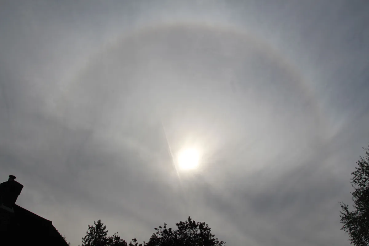
Cirrostratus clouds are a thin, often overlooked veil of ice crystals that often cause a halo around the sun or moon. They indicate that a warm front is coming in 10-15 hours, which means that rain is about 6-10 hours away. These clouds are brilliant for confirming if the cirrus clouds are indicating a depression, as they aren’t often seen without the approach of a warm front. As the warm front nears, the cirrostratus clouds will thicken and lower until they become altostratus cloud.
Altostratus clouds
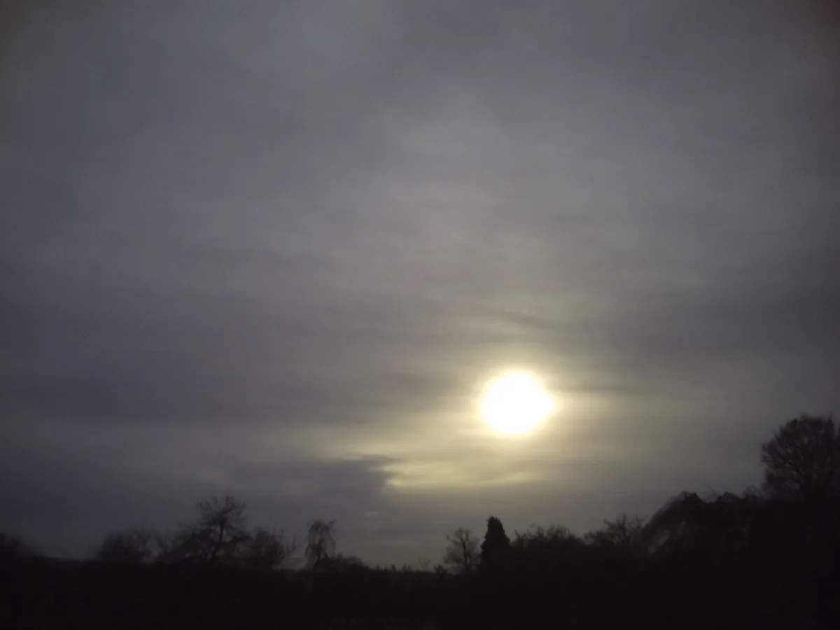
Altostratus clouds are the next clouds that are spotted before the approach of a warm front. They are dull, relatively featureless layer clouds and they indicate that it will rain in about four hours. The sun can often be seen through them, but it won’t cast a shadow on the ground. As with most other clouds seen in the build-up to a warm front, if you see them on their own they don’t necessarily indicate a front is approaching, so you should use one of the above signs too. However, they are a very strong sign of the approaching front, and if you have already seen cirrus clouds in the hours before you see altostratus, then you can be very confident that the front is arriving. The altostratus clouds will again lower and thicken into rainy nimbostratus clouds, which will bring increasingly heavier rain for the next four hours. Then the weather will improve, at least temporarily, after the front has passed through.
Pannus clouds
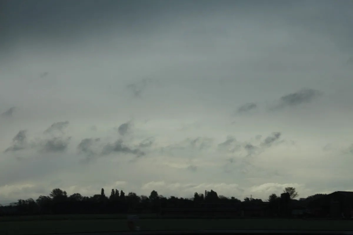
Pannus clouds, which are grey fragmented or streaks of cloud that are seen below the main cloud base, indicate rain in just about 10 minutes, and they ar a great indicator of when the nimbostratus clouds will arrive before a warm front.
Fair weather cumulus clouds

Fair weather cumulus clouds are wonderful as they indicate that it won’t rain for the rest of the day if you see them after mid-morning. These are the fluffy clouds that are less tall than they are wide - they are the typical clouds seen on a summer day.
Stratocumulus clouds
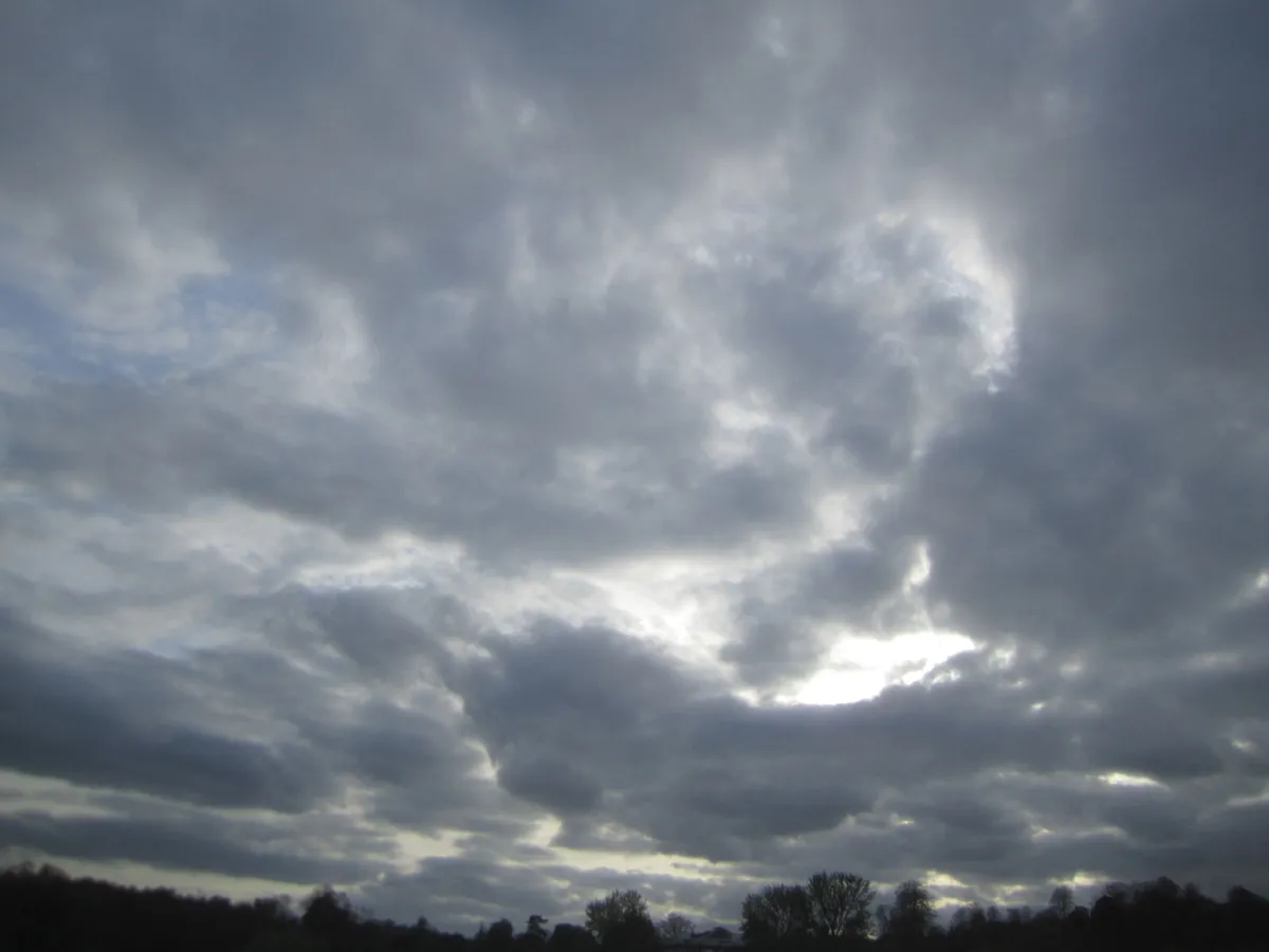
Stratocumulus clouds are a mix between cumulus and stratus clouds (a low layer of cloud). They can be very variable in form, but they generally indicate light winds and possibly days of similar conditions, especially when they are seen in the winter.
Cumulonimbus clouds
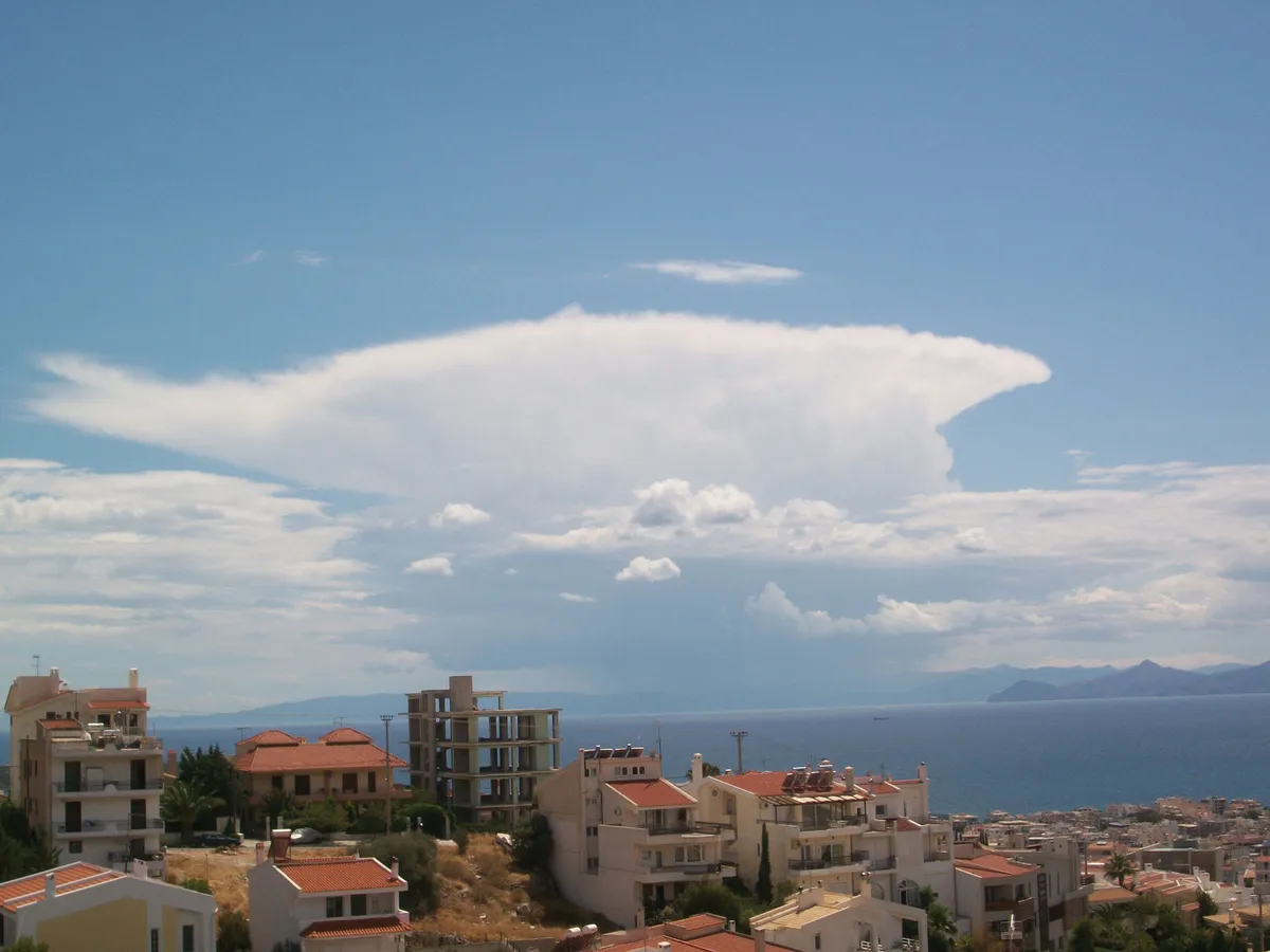
Cumulonimbus clouds are the towering cumulus clouds that bring heavy showers, strong wind and occasionally thunder. They are either isolated shower clouds, especially in the summer, or form part of a cold front in the winter. Cold fronts generally come along behind a warm front, so although there may be temporary improvement in the weather after the passage of a warm front, often the worst is still to come!
So, armed with this knowledge you should be able to impress your friends by forecasting the weather yourself, often more accurately than the professionals.
About the author
Oliver Perkins raced a Laser 4.7 for the British team and has sailed his family's yacht out of Bosham, Chichester for many years. oliverperkins.com
Reading the Clouds, How You Can Forecast the Weather, Bloomsbury, £9.99
