In a collaboration with the internet-giant Google and the New Forest National Park Authority, 102 miles of tracks in the New Forest have been mapped for use by Google Street View.
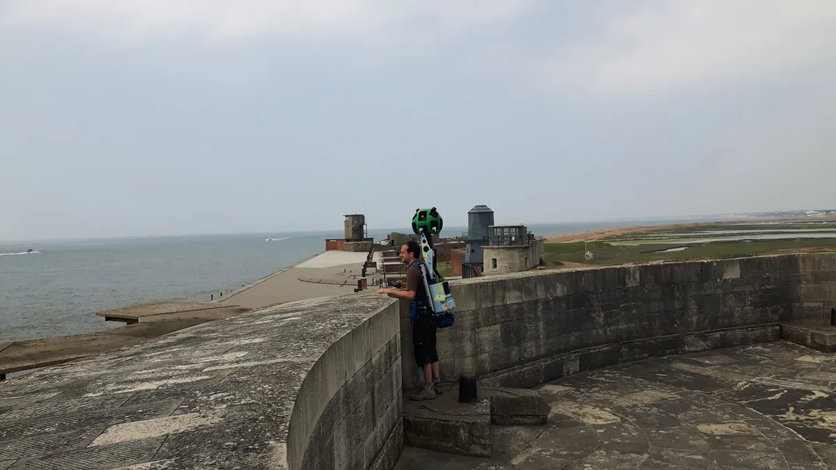
A number of iconic areas in the New Forest National Park, including sixteenth century Hurst Castle and the Beaulieu river, have been photographed and are available to view on Google Map's Street View function.
Jim Mitchell, Interpretation and Outreach Manager at the New Forest National Park Authority, said: ‘The trekker footage will help people plan their time outdoors in the National Park. The routes are carefully selected so that they both visit some of the best of what the New Forest has to offer and guide people to use approved rights of way, footpaths and more robust tracks.’
The paths were photographed using a four feet high Trekker backpack, weighing 22 kilograms and carrying a 15-angle lens camera which takes 360-degree pictures every 2.5 seconds. National Park staff members and Forestry Commission volunteers took it in turns to carry the backpack, photographing popular, resilient walking tracks.