In these northern latitudes, summer is an elusive thing. That’s why so many of us go south in search of sunshine. South spells heat, glamour. Some hop on ferries or planes for foreign shores; others take their chances, and set off for England’s southernmost county.
In summer, Cornwall’s population jumps from 500,000 to five million. Most of these visitors head to the county’s northern and western edges: the A-list destinations of Newquay, Padstow, St Ives, Land’s End, Mousehole, Newlyn, Penzance, Marazion.
Oddly enough, though, the most southerly part of the most southerly county, while not exactly undiscovered, remains largely uncharted by the tourist hordes.
Southward bound
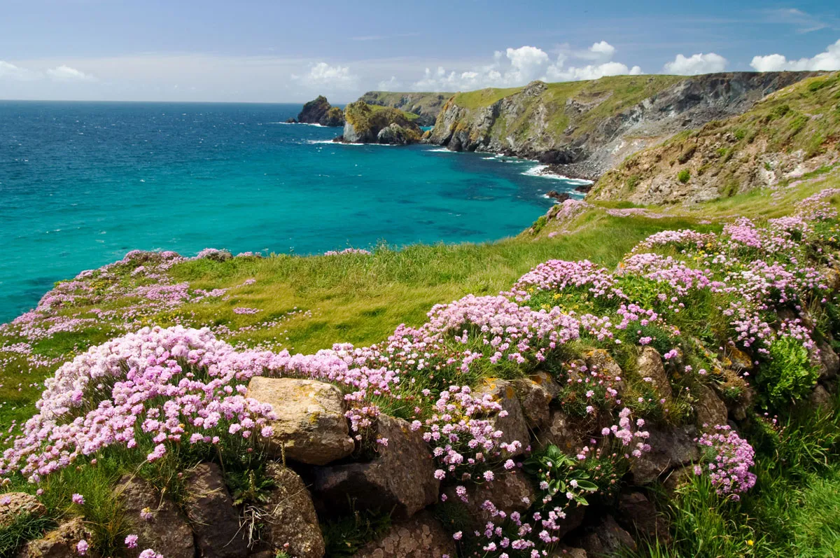
Draw a line between the harbour at Porthleven and the sprawling creeks of the Helford River; the Lizard stretches south from here. Ten miles across at its widest, and 10 miles long, it tapers to a sharp end at Lizard Point. Arguably, the only really famous place there is Kynance Cove, an idyllic beach with craggy cliffs and smugglers’ caves and turquoise sea. It’s the quintessential Cornish beach familiar from fudge boxes and Poldark, complete with a charming clapboard café run by the National Trust.
Of course, there is a lot more to the Lizard than Kynance. And it would stretch a point to call those areas ‘undiscovered’. Lizard Point itself attracts coachloads of visitors down the winding A3083 to the last village in England, where a clutch of cafés, pubs and souvenir shops await them. There are other beaches – some popular, some hidden. Mullion is well known; and the port of Porthleven is fast becoming a new Padstow, its harbour bristling with good restaurants to choose from on a balmy summer’s evening.
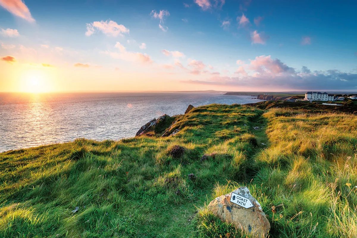
But many other treasures lie on this coast. By far the best way to experience them is on foot. Then the Lizard’s rugged majesty unfolds before you, over 37.3 miles of astonishing beauty.

Pace yourself
The route from Porthleven begins with a placid landscape of beach and blue sea. Porthleven Sands arc gently south for more than two miles; the vast blue Mounts Bay stretches off to the west. But after Gunwalloe, things get a lot livelier. For most of the next 35 miles, the coastline marked on your OS map becomes a manic squiggle as the path before you vaults over the bunched contours of craggy headlands, tiptoes around high cliffs, zigs and zags between coves and combes until you reach the green valley of the River Helford.

This landscape makes for an unpredictable journey. Reach the top of a steep rise and suddenly views open up of distant purple cliffs, or a hidden cove lapped by green waters, or a headland of grass embroidered with wildflowers. Occasionally – as at Downas Cove – the land unexpectedly drops away and the path plunges down to sea level, before romping straight back up the other side.
If that sounds like tough walking, it is. While few of the high points on the route rise more than 70m above sea level, the cumulative effect tests your knees, and lungs – and willpower. But the physical test is part of the pleasure, and anyway, assuming good weather, this journey is best enjoyed slowly, so take your time. Walk, swim, lunch, lounge. Then walk again. Leave time to rest and look.
Colour of summer
Southerly it may be, but anyone who has spent a few days in Cornwall is likely at some point to have seen the place veiled in mist or rain. These damp days have their own atmosphere. The air is soft, mild; wet ferns flop on the coast path, hydrangeas loll, dripping, in the villages. The palette turns to mild greys and silvers and muted greens.
Sunshine brings drama to the bold forms of the coast: the craggy profiles of Kynance and Chynhalls Point show dark against the sparking water. And the colours are intense: the sea turquoise, the pastures green. Brightly painted fishing boats bob in the harbours. The gardens fizz and pop with blue Agapanthus, cerise fuchsia.
On the coast path, wildflowers are everywhere. Nearly half of Britain’s native plant species can be found on the Lizard. Mingled with them are exotics from the Mediterranean and Africa, thriving in the virtually frost-free climate. Many have escaped from gardens or flower farms to run like wildfire along the coast: the orange sparks of montbretia crackle among the ferns, swags of succulent Hottentot figs hang like huge curtains from the cliffs.
Above this tapestry of floral colour, at intervals along the coast, kestrels flutter almost motionless on the breeze, patrolling their territory, rapt in search of prey, close enough to examine their dappled feathers.
It pays to keep an eye on the sea, too. One fine day, we saw the sleek black fin of a basking shark in the water far below – then counted another and another until we grasped that 11 – 12? – sharks were moving in convoy, half a mile long. The kids at Cadgwith joyfully kayaked out to see these gentle monsters close up.
The path to peace
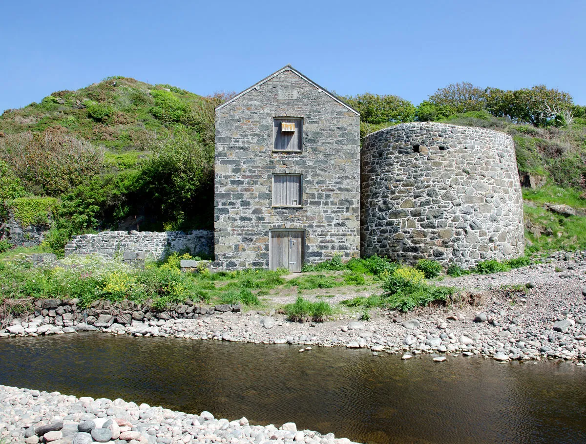
Despite these wonders, you are likely to meet relatively few other walkers on the coast path, even in high season. Surprisingly few people seem to venture far from beach or village; so the sense of solitude and escape is powerful. Especially so in the small, obscure places such as eerie Poltesco Cove, where the ruins of a former serpentine works brood among the sycamores, by a beach of giant pebbles. At lonely Lowland Point, a wild spot just a mile or so north of Coverack and a place of wildflowers and boulders, seals slumber on the shore. Or explore Lankidden, one of the best and most hidden of the Lizard’s beaches, a mile east of Kennack Sands. If you are happy to shin down a rope for the last few metres, it’s a mirage of pale sands and sapphire water.
After all this seclusion and tranquillity, the crowded honeypots of the Lizard – and it does have them – sometimes bewilder. The beaches on the Lizard’s western coast tend to be the busiest – for example at Poldhu (while on eastern shores, Kennack Sands and Coverack Bay are both popular).
Mullion’s harbour is busy too, but within minutes the crowds are behind you and seven miles of idyllic clifftop lie ahead. You may want to pause at iconic Kynance; but England’s most southerly point awaits.
Time your visit right, arrive hungry, and aim for the Polpeor Café. This simple building must be one of the most spectacular places to eat in Britain. Perched high on a narrow rocky headland (pictured top right), the terrace looks down through clear blue seas of Polpeor Cove. Nine times out of ten, you’ll see seals swimming or basking sharks among the ragged rocks of Vellan Drang, which lurk dangerously in the waters below.
Two villages
Cadgwith, the fishing village three miles on from Lizard Point, can sometimes feel busy, too – but nowhere near as busy as Mousehole or Port Isaac, elsewhere in Cornwall. It’s a tumble of pretty thatched cottages and fishermen’s lofts, crowded on steep slopes around twin coves. But it’s also a working village, crammed with stacked crab pots and scuffed plastic crates brimming with fishing nets. Even the small chapel has a maritime atmosphere: a shed painted a cheery blue, and a place of touching spirituality.
The people of Cadgwith still live the life, hauling in catches, gathering on the small beach on sunny afternoons. The fishermen sing shanties in the Cadgwith Cove Inn on Friday nights, because that’s what you do; they do it not for incomers, but for each other – for the village.
Coverack lies just six or seven miles north of Cadgwith – but it feels further. The last mile or two is sublime: the rough path over Chynhalls cliffs; small and sandy Porthbeer Cove; the green arc of Perprean Cove. Pass beneath shady sycamores and find yourself on a footpath flanked by a row of white cottages overlooking the cove and, arguably, Britain’s most beautiful vegetable gardens. Coverack makes an excellent base for a few days’ exploration of the area.

Soft landing
From Coverack, the coast path heads north, through the thrillingly bleak and remote stretch between Lowland Point and Godrevy Cove, and leans inland for a few miles, before popping out by the sea again at Porthallow. Before long you have reached the hamlet
of Gillan, and the landscape becomes softer, prettier. On the far bank of the creek, cradled in the crook of low and leafy Dennis Head, is the village of St Anthony-in-Meneage: a church tower, a scattering of houses and a shoreline crowded with hauled-up sailing boats. It’s softer still when you reach the mouth of the River Helford, where green woodland and pastures slope down to glossy waters. The lovely, tree-fringed Bosahan Cove, a sandy beach near the mouth of the river, is an idyllic place to take a quiet moment and enjoy the peace of the shoreline before you end your journey.

By the time you bid farewell to the Lizard at Helford’s Shipwright Arms, watching the bright sails of yachts on the river, the miles of brilliant, jagged coast behind you may feel like a dream. Only the sun tan, the sore calves and the happy memories will remind you that this purest of adventures really happened to you.
Main image: Getty

