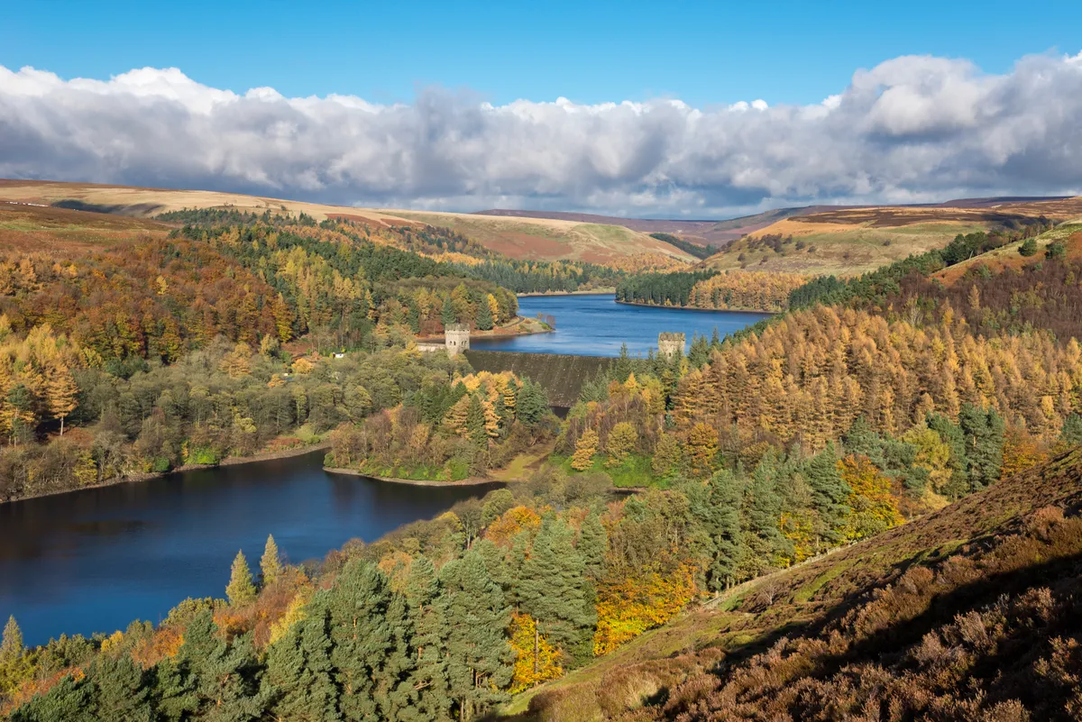
In the early part of the 20th century, pastures, farms and country lanes disappeared under Ladybower, Derwent and Howden reservoirs in the Upper Derwent Valley. Their construction was not without controversy. Two settlements – Derwent and Ashopton – were sacrificed to meet the insatiable demand for water.
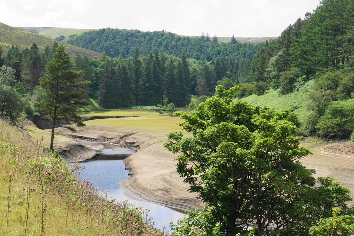
Nowadays, it feels as if this watery valley has always been part of the landscape, but in prolonged dry periods the remains of Derwent village emerge from the mud-caked shores, reminding us that the Upper Derwent was once very different.
This 10-mile ramble around the two higher reservoirs of Derwent and Howden doesn’t just reveal a fascinating local history, it also showcases the beauty of the Dark Peak.
Looking for more walks in the area? Check out our favourite routes in Chee Dale, Padley Gorge and Monsal Dale.
Peak District walks
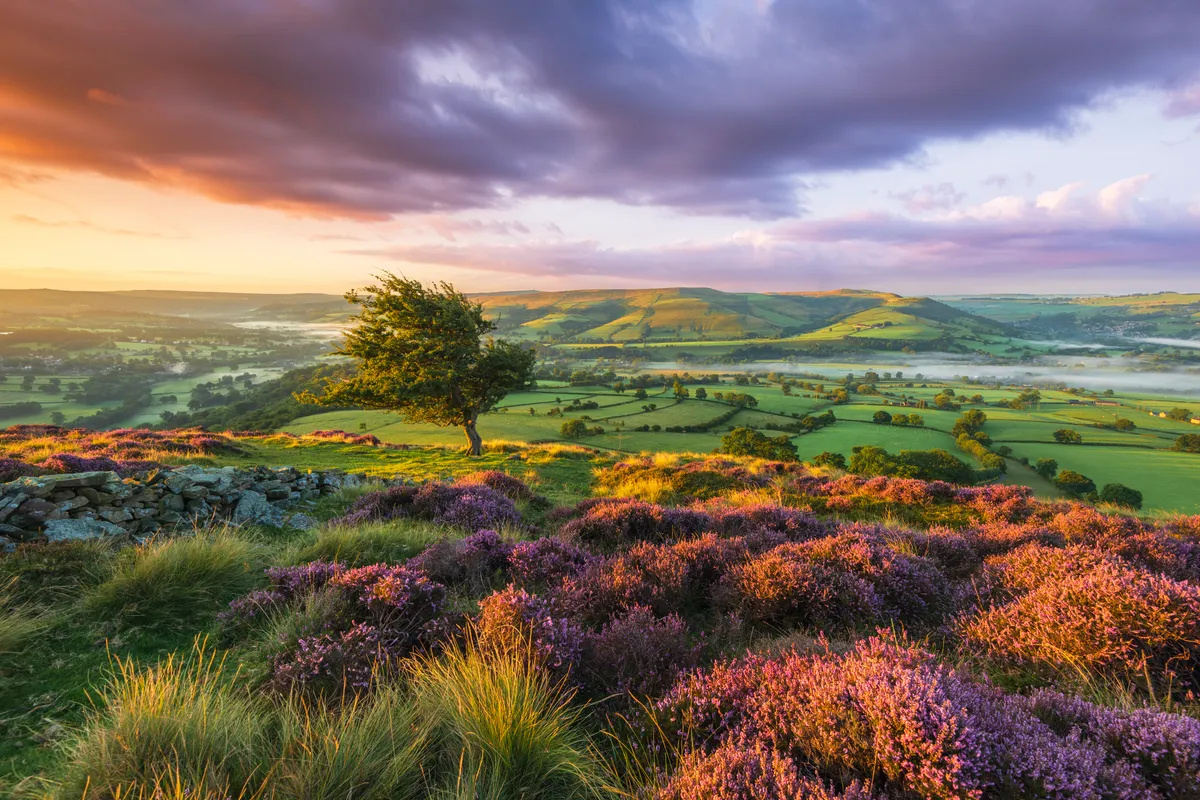
The Peak District National Park in Derbyshire is one of Britain's most iconic landscapes – hike over hills, moors and mountains, amble beside idyllic rivers and climb through deep gorges with our guide to the best walks in the Peak District.
Derwent Reservoir and Howden Reservoir walk
Starting out from Fairholmes between Ladybower and Derwent reservoirs, take time to explore the small visitor centre with current information on local wildlife.
Head north along the access road. Just beyond the dam wall there’s a memorial to the Dambusters, aka 617 Squadron RAF, who executed dummy runs here before going on to bomb the Ruhr Valley dams during WWII. A little further on, another memorial pays homage to Tip, a sheepdog who remained faithfully by his master’s side for fifteen weeks after he perished on the moors above.
Just beyond Ouzelden Brook, veer left through a ruler-straight grassy path and on through trees to the foundations of ‘Tin Town’ more formally known as Birchinlee. Here there are a series of black-and-white photos on information boards chronicling the itinerant lives of the dam construction workers and their families before the tin huts were dismantled sheet by sheet.
Beyond Howden Dam, skirt round the narrow arm of the reservoir (River Westend) before heading north again alongside the reservoir to the turning circle at Kings Tree. Go through the wooden gate and continue along the wide path, cutting through forest, where you’ll reach the footbridge across the Derwent near Slippery Stones.
The old packhorse bridge was salvaged from the drowned Derwent village and taken stone by stone to its new location. It’s a fine spot for a picnic lunch (continue upstream to wild swim in the nascent river’s pools). Crossing the footbridge, you’ll leave the gentler landscape of mixed woodland and plantation to climb up a rough path onto moorland.
Keep right to follow the loop of the path as it climbs uphill, looking out for birds of prey. Continue over moorland before dropping down through woodlands to Howden then Derwent.
Beyond Derwent Dam, look out for a path on your right dropping down through conifers. Cross a grassy path and turn right onto the road that sweeps round the base of the dam wall, returning you to Fairholmes Visitor Centre and your starting point.
Derwent Reservoir and Howden Reservoir map
Derwent Reservoir and Howden Reservoir walking route and map