Dartmoor National Park covers 368 square miles in Devon. It’s mostly moorlood, with patches of woodland providing some relief from the elements.
Dartmoor was populated from Neolithic times right through to the Bronze Age, as evidenced by the largest concentration of Bronze Age remains in the UK. Nowadays the national park is one of the country’s leading tourist attractions, as well as an occasional military firing range.
Follow our circular walking route starting and finishing at Sharpitor and taking in views of Burrator Reservoir in Dartmoor.

Burrator Reservoir walk
5.2 miles/8.4km | 3.5 hours | moderate
1. Sharpitor
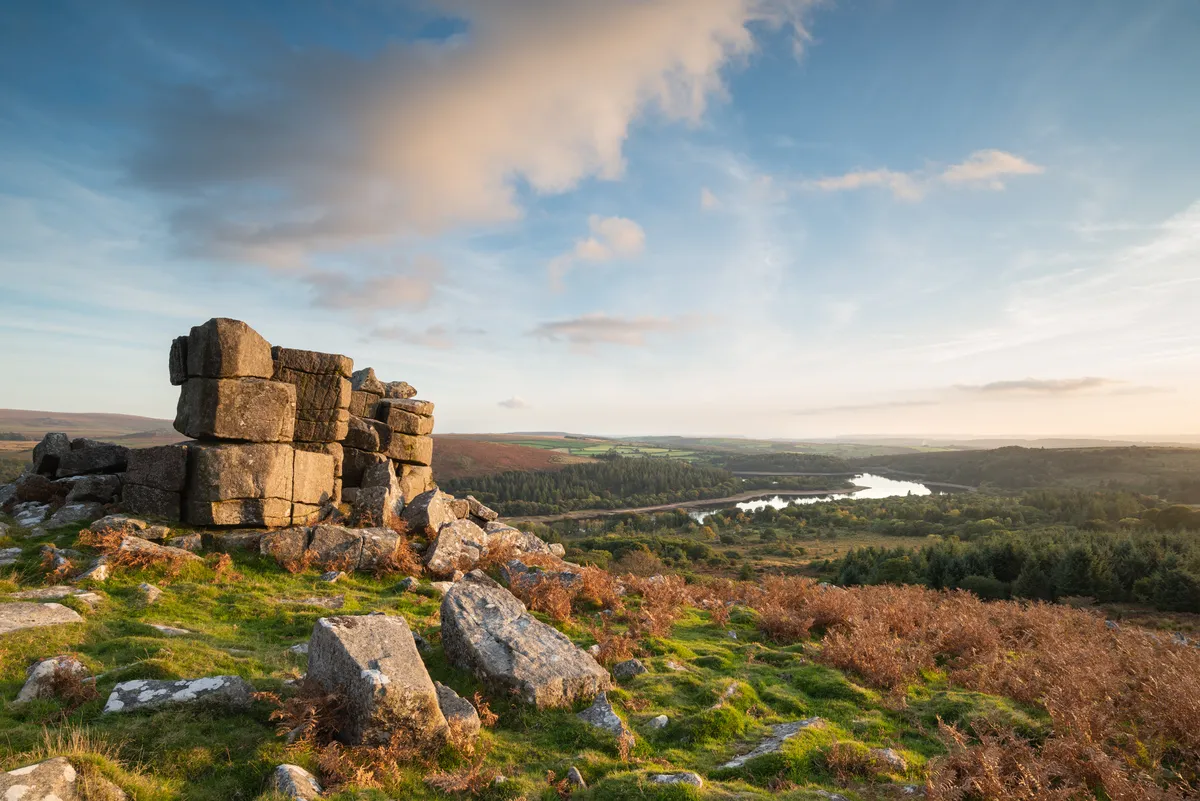
Looking south from the car park on the B3212, you can see Sharpitor. Climb the 500m or so to the top. It’s a relatively easy climb, and the extensive views over Burrator Reservoir, with hills descending to Plymouth beyond, are well worth the climb.
2. Burrator views
Below you, you can see Leather Tor and beyond it the woods surrounding Burrator Reservoir. Head for Leather Tor and climb up. This one is slightly more difficult than Sharpitor, and it also requires more care. Tors are exposed granite hilltops, and they are so common on Dartmoor because the uplands are granite from the Carboniferous period. There are more than 160 tors on Dartmoor.

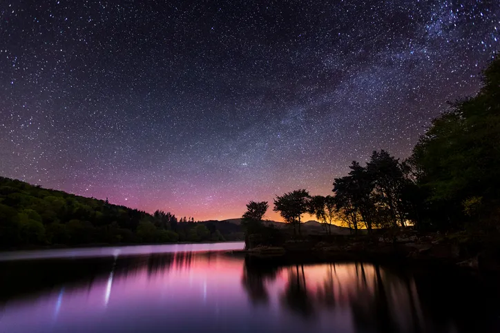
Bear slightly right, carefully descending from the tor until you reach Cross Gate. Go through, and follow the path, heading left, until it joins the road that runs around the reservoir. You can access the water from any one of many easy points, and it’s well worth exploring. There are plenty of peaceful and picturesque picnic spots here too. Dartmoor’s first reservoir, Burrator was built in 1898 and it was expanded in 1929. It washed over the leat that had been providing Plymouth with water for centuries – a leat that had been built by Sir Francis Drake.
3. Along Devonport Leat
When you’re finished with the reservoir, retrace your steps back up to Cross Gate, and turn right to follow the Devonport Leat up through the woods. The leat, which is fed by three rivers – the Blackbrook, the Cowsic and the West Dart – was built in 1790 to carry water from Dartmoor’s high ground to the dockyards at Devonport.
The path leads up and out of the woods to some abandoned settlements. You can now see Black Tor directly ahead; it’s one of three tors with the same name. It’s too redolent a name to resists, it seems.
Dartmoor, of course, has always been food for fertile imaginations. Sir Arthur Conan Doyle and Dame Agatha Christie both set tales here, while legend has it that when the sun goes down you are likely to run into a headless horsemen, several pixies, at least one dragon, a pack of ghostly hounds, some disembodied hairy hands and the devil himself. So perhaps it’s best you walk during the daytime, just in case.
4. Black Tor
Climb the tor, passing the aqueduct on your right, and the remains of the blowing house on the left. The blowing house, which contains a furnace and bellows with a water wheel nearby to generate power, was used for smelting tin on Dartmoor from the 14th to the 18th century. The ruins of more than 40 blowing houses are dotted around Dartmoor.
From Black Tor hop over to the road, and turn left. Follow the road for about 1½ miles, and you will return to the car park once again.
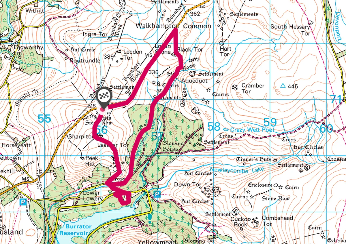
Burrator Reservoir map
Burrator Reservoir walking route and map

