It's dawn and I'm standing above the clouds. You might think that I am on one of the highest peaks in the country. Instead I am only 158m up, on Glastonbury Tor, one of the little hillocks that rises dramatically from the Somerset levels.
I confess to having been a hill snob. If a hill didn't make mountain status, then I didn't want to climb it. All this changed that morning on Glastonbury Tor. I began to wonder whether I had been missing out on some special walking; and set out to explore more small hills.
I soon realised that small hills offered the chance to slow down: there is no rush to the summit. They are often abundant with wildlife; they tend to get better weather than their taller counterparts; and regularly meandering up them meant getting fitter without even realising it.
I learned that Britain is blessed not only with remarkable mountains, but also with some of the best small hills in the world.
Here is a selection of Britain best easy hills walks from Phoebe Smith's book Britain's Best Small Hills
Bow Hill, West Sussex
Height: 206m

Above the nature reserve of Kingley Vale this multi-summited hill is topped with four Bronze Age barrows known as the Devil's Humps. Local lore says that these are in fact the graves of Viking leaders who attempted to gain control of Chichester and failed. Wandering up from the clearly marked West Stoke car park it's not only the hill that is worthy of attention, for here on the lower flanks you will find some of the oldest Yew trees in the country. Pay special attention to them as you meander back down on your way home as they are said to contain the souls of the Viking soldiers who steadfastly guard the remains of their chiefs.
Beacon Hill, Leicestershire
Height: 248m
With just 28m of ascent in real 'climb', this is a minuscule mountain in every sense of the word. But don't dismiss it as one for the kids only. Part of the Country Park of the same name, it boasts a network of trails ideal for walking and cycling that take in a range of landscapes - from forest at the beginning, to heath and grassland near the summit. The top itself features several rampart-like edges of igneous rock, giving it an unexpected spiny appearance. Start from any one of the official car parks for a meander that is waymarked all the way to the top.
Chrome Hill, Derbyshire
Height: 425m

Formerly a reef at the bottom of the sea, this limestone protrusion cuts a striking profile amid the rolling farmland of this part of the Peak District. Rising to a shapely ridge with sheer drop offs and nooks and crannies ripe for exploration, you can easily imagine it being the hiding place for a wealth of saltwater life during the Carboniferous era over 340 million years ago. Starting from the little hamlet of Hollinsclough follow the footway over the river, past the farmhouses and up to the summit. Pair it with its neighbouring peak of Parkhouse Hill for a reef walk that can be undertaken without making a splash.
Best walks in the Peak District
Roseberry Topping, North Yorkshire
Height: 320m

It's said that walking can inspire even the most stoic among us, and this little peak is proof of that entirely. In 1736 a small boy called James Cook moved to Great Ayton below its flanks. His life was forever changed when he reached the summit, as it was here where he made the decision to become an explorer and went on to become the Captain Cook who mapped a great deal of Australia, New Zealand, and the South Pacific. Now I'm not saying a walk up it will inspire you to travel the world in search of new continents, but then they do say that every journey starts with a single step...
Best walks in the Yorkshire Dales National Park
The Bell, Cumbria
Height: 335m

Most walkers have been to Coniston and climbed The Old Man. But many neglect to notice this little 335m lump that sits alongside the path. Minuscule it may be but its rocky edges hide what is known as a Grade 1 scramble. This is basically a walk that requires hands to steady yourself for some of the moves, but no ropes or special equipment is required. As such it's a great and adventurous introduction into the art of climbing without commitment required on bigger walls. The perfect add-on to a bigger walk or one that is worthy of attention all by itself.
Castle Crag, Cumbria
Height: 290m

On arrival to the delightful village of Rosthwaite, tucked into the Borrowdale Valley, you can't help but want to meander along the River Derwent. But don't just stick to the waterway, because rising alongside it to the west is this little craggy peak. It has the accolade of being one of the only hills in Alfred Wainwright's pictorial Guides to the Lakeland Fells that falls under the 300m mark. Usually a man of matter-of-fact phrasing he lets the adjectives get the better of him and gushes how "it is so magnificently independent, so ruggedly individual, so aggressively unashamed of its lack of inches" and who are we to argue with the great walker himself…
Carningli, Pembrokeshire
Height: 346m

It's not often you get offered the chance to follow in the footsteps of angels, but a walk to this summit offers just that. St Brynach, a Celtic saint in the 5th and 6th century, trod the track to its summit to commune with the spirits. You can reach it easily from the town of Newport (Pembrokshire) by simply heading south. The name itself translates to 'Mountain of Angels' and with views of the stunningly rugged Welsh coastline from its top, it's hard to deny that it's a heavenly walk - no matter what your beliefs.
Moel Tryfan, Gwyneth
Height: 427m

Not to be confused with its 918m namesake, this much more manageable peak further to the southeast of Snowdonia is a much more simple affair to summit. Requiring no scrambling, it is but a 20-minute stroll straight up the flanks from the little town of Rhosgadfan below. And while it may not be impressive in height and it does hold a special claim to fame: not only can you get one of the best views of Snowdon from the top of the rarely viewed southern face, but this is also the site where Darwin visited to study glaciology in 1842. A true origin of a legend (and the earth itself as we know it).
Best walks in Snowdonia National Park
Conic Hill, Stirling
Height: 361m

When it comes to geology I find that you fall into two camps - either the captivated or the couldn't-care-less. But that all changes when you can literally see a geological fault line with your own eyes. Case in point is this easy hill walk from the visitor centre at Balmaha. Climb up to the top of the peak on the well-marked path through woodland and, as you emerge from the trees you can see a very great divide. Dissecting this summit in the middle is the Highland Boundary Fault where the Highlands meet the Lowlands. Look into Loch Lomond and the islands emerge from the water in a line so straight you could almost draw a line right through it. A walk that convinces even the most uninspired amongst us that geology can, quite literally, rock.
Meal Fuar-mhonaidh, Highlands
Height: 699m

You might not have heard of this small peak but you certainly will of heard of the watercourse that sits beneath it. This peak (small by Scotland's standards) rises, monster-like, above the mighty Loch Ness. It's reach by walking from Grotaig car park just off the Great Glen Way. The trail is marked at first as you meander out of the canopy of birch and rowan, but then it is a case of picking out the faint path all the way up to its beast-like top. The summit makes a worthy point from which to spy the elusive Nessie, but then who needs make-believe monsters when you've climbed a giant little peak such as this.
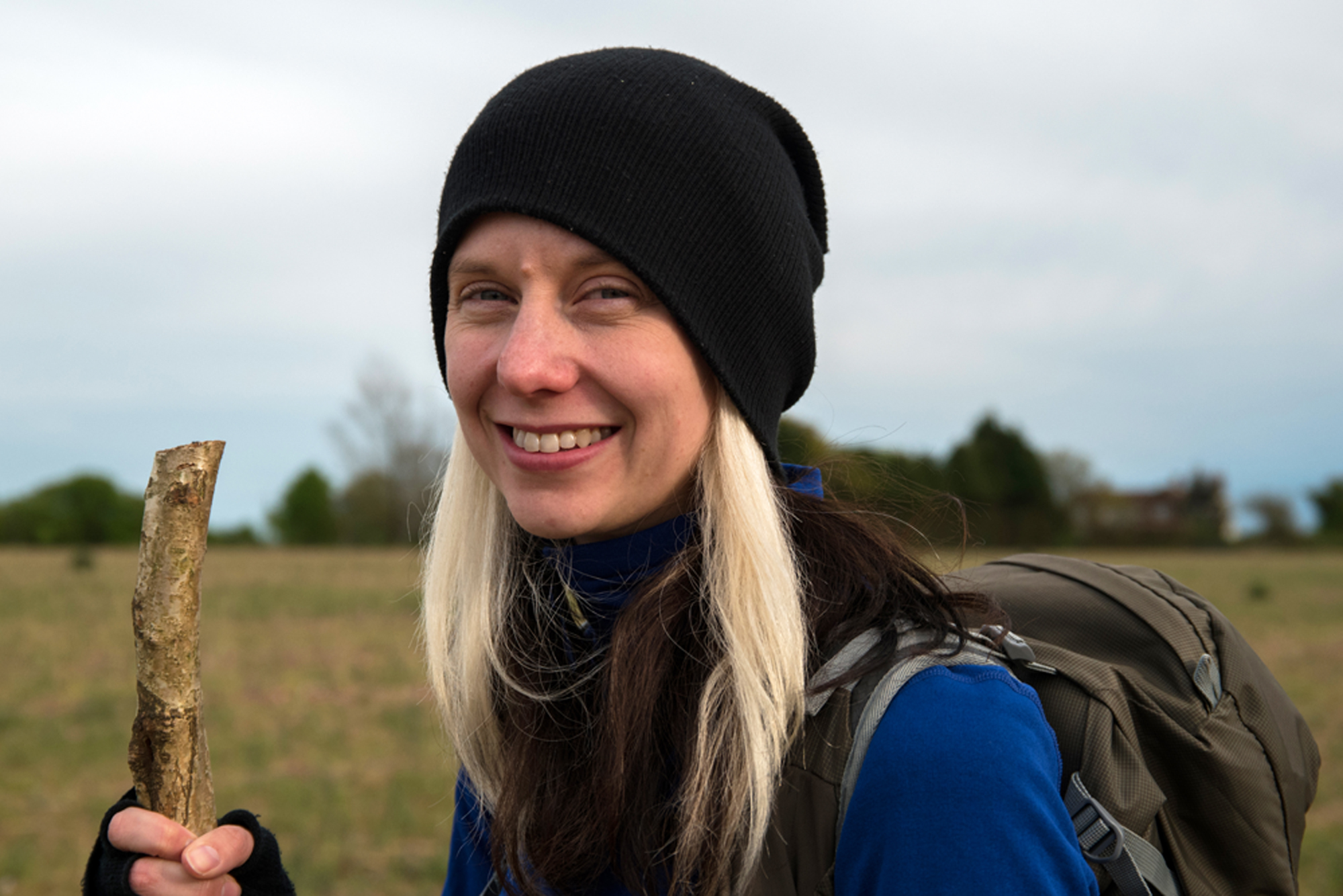
About the author…
Phoebe Smith is an award-winning writer and adventurer and author of eight books on the British wilderness including Britain's Best Small Hills (Bradt; out now). Follow her adventures at www.phoebe-smith.com