Durham County is located in North England. It shares its borders with North Yorkshire to the south, Cumbria to the west, Northumberland and Tyne and Wear to the north, and the North Sea to the east.
The county includes a large section of the North Pennines, several great rivers – including the Tees and the Wear – and around 12 miles of coastline, making it a superb place to go walking.
Here are three of our favourite walking routes in County Durham.
You may also like:
Best walks in County Durham
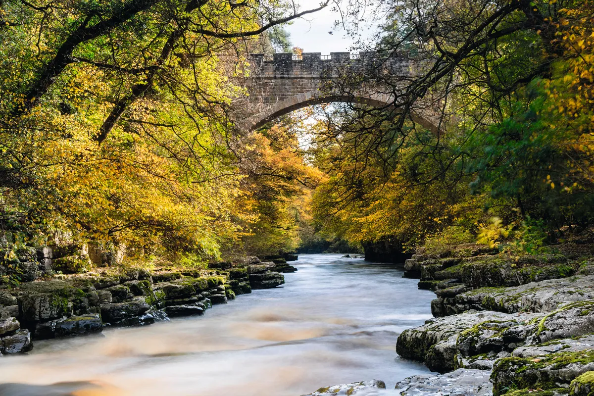
Barnard Castle
3.1 miles/5km | 2 hours | easy–moderate

Graceful towns, bustling villages and a rich heritage tucked away amid glorious countryside – it’s no surprise that the Tees Valley features in several works by one of England’s favourite artists, landscape painter JMW Turner.
At its heart is Barnard Castle – ‘Barney’ to locals – a mellow market town with a firm reputation as a centre for antiques.
Set between the moors and the Tees gorge, its nucleus is the gaunt castle draped along river cliffs, while an equally eyecatching if rather bizarrely placed French château is now an antique buff’s Valhalla, home to the startling art collection of the hugely wealthy Victorian industrialist John Bowes. The surrounding valleys are perfect for an easy autumn ramble, working up an appetite for an afternoon’s browsing and picking in Barnard Castle’s shops.
Barnard Castle walking route and map
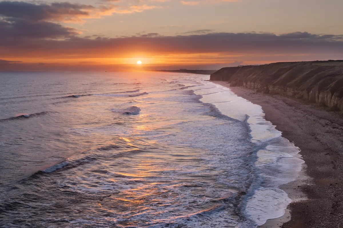
Blackhall Rocks walk
3 miles/4.8km | 2 hours | easy

The 1971 film Get Carter, one of the finest in the British gangster genre, paints a grim picture of the north-east of England. Not least among the memorable set pieces is the climactic scene, filmed at Blackhall Rocks, in which tons of colliery waste are being dumped on to an already filthy beach.
The 1980s saw the closure of Blackhall Colliery and a clean-up of the beach, which has since become part of the Durham Coast National Nature Reserve (NNR). Seaham, a few miles to the north, provided the setting for the start of Alien 3 (1992), and Redcar, a similar distance south, became a convincing stand-in for Dunkirk, in Atonement (2006).
Explore this landscape on a 3-mile circular hike along the County Durham coast, including beaches, caves and shoreline denes.
Blackhall Rocks walking route and map
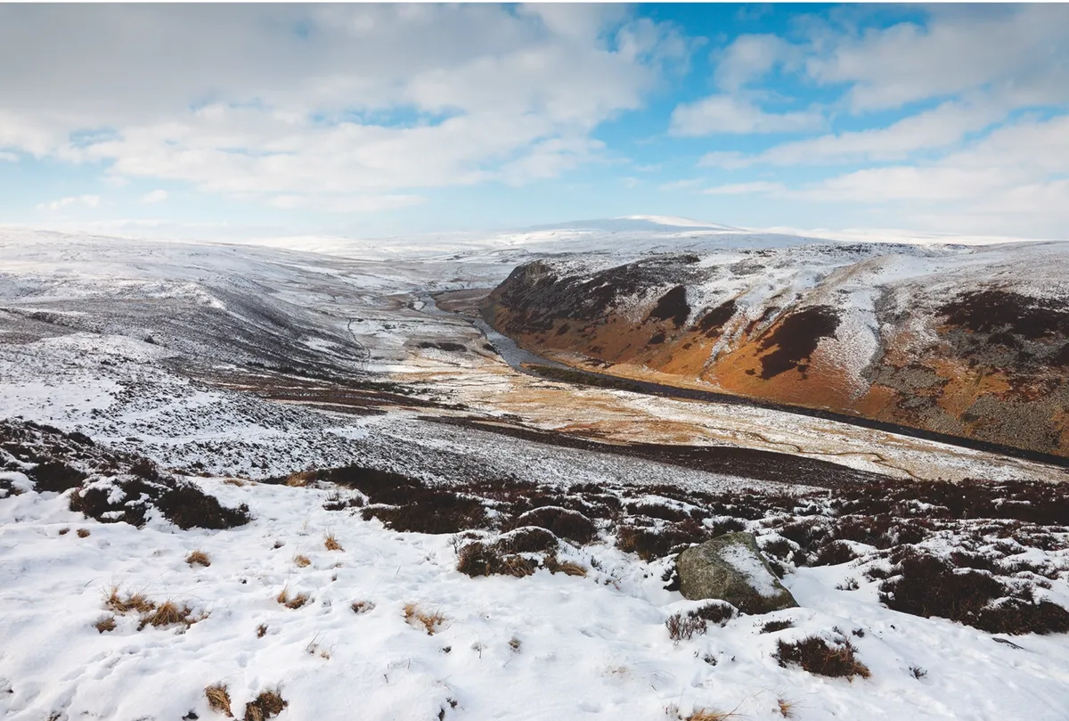
Langdon Beck, County Durham
7.5 miles/12km | 4 hours | moderate

Cronkley Scar, Falcon Clints, Whiddybank Fell, Cauldron Snout. The names have a hard-edged musicality that perfectly echoes the harsh, compelling beauty of the landscape. The huge national nature reserve of Moor House-Upper Teesdale, more than 7,000 hectares in size, is as bleak as any part of England. Bleak, but still beautiful, and well worth a day of walking.
