This vast county in northern England comprises the Lake District National Park, the Solway Coast and sections of the Yorkshire Dales and North Pennines. It's a rugged landscape of hills, mountains and coastline, perfect for lovers of the trail
Cumbria is the third largest county in England behind North Yorkshire and Lincolnshire with a total land area of 6,768 sq km – that's almost three times the size of Luxembourg.
- British mountain guide: facts, definitions and the best peaks to climb
- What muscles does walking tone?
Despite its size, Cumbria has one of the lowest populations in the country, and just one city – Carlisle. Countryside prevails here, meaning there is ample opportunity to explore the county on foot, from the wild Northern Pennines to the picturesque waters of the Lake District.
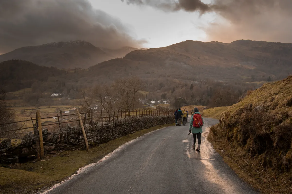
We've put together a list of our favourite walks in Cumbria, ranging from easy riverside rambles to tough mountain hikes.
Best walks in Cumbria
Buttermere and Rannerdale Knotts
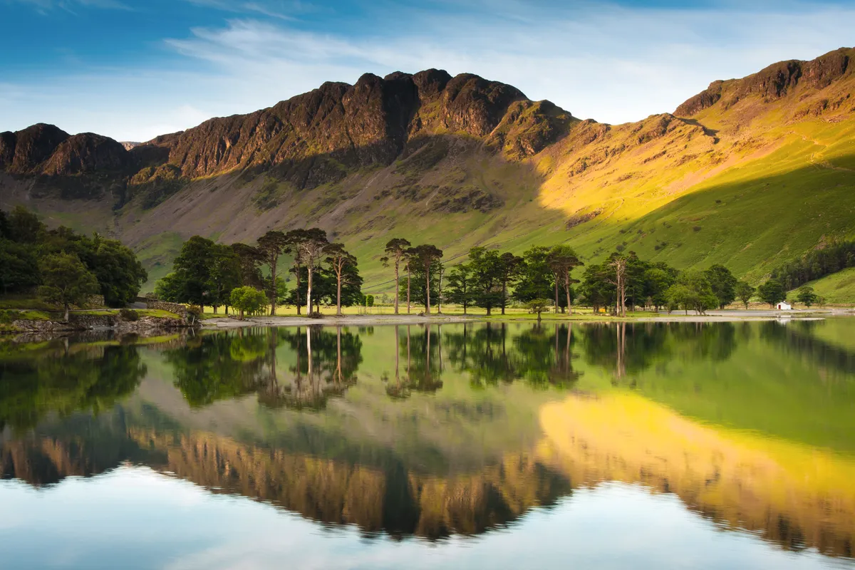
This autumn walk includes some of the Lake District’s most beautiful trees and forests, where myth and legend tangle with the Scots pines and the golden needles of larches.
Cat Bells
This Lake District mountain is small compared to its neighbours, yet what it lacks in height it makes up for in accessibility, views and atmosphere.
Lingmoor Fell Circuit
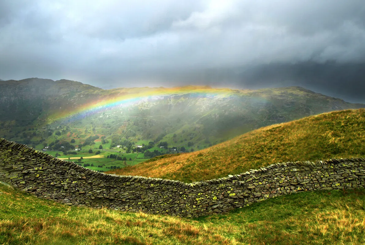
This lowland loop walk through the heart of the Lake District National Park is packed with splendours – from glistening tarns and craggy fells to magical, mossy bridges.
Ennerdale and Haystacks
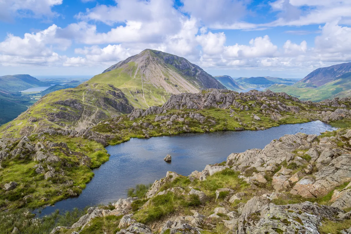
Ennerdale is the most remote valley in the Lake District and one of the National Park’s best-kept secrets – follow this lakeside route to the summit of Haystacks.
Keswick to Latrigg

Easy and accessible, this short walk to the summit of a classic Lake District fell is the perfect day out.
- 8km/5 miles
- 3.5 hours
- moderate
Hawkshead and Latterbarrow

The small village of Hawkshead in the middle of the Lake District National Park is a great base for exploring the surrounding hills, including the modest peak of Latterbarrow.
Wasdale Head Inn, Gosforth

This venerable inn, hidden within the valleys and mountains of the Lake District, has housed some of Britain's best novelists and poets – find out what inspired these great writers with a five-mile walk.
Grizedale Forest
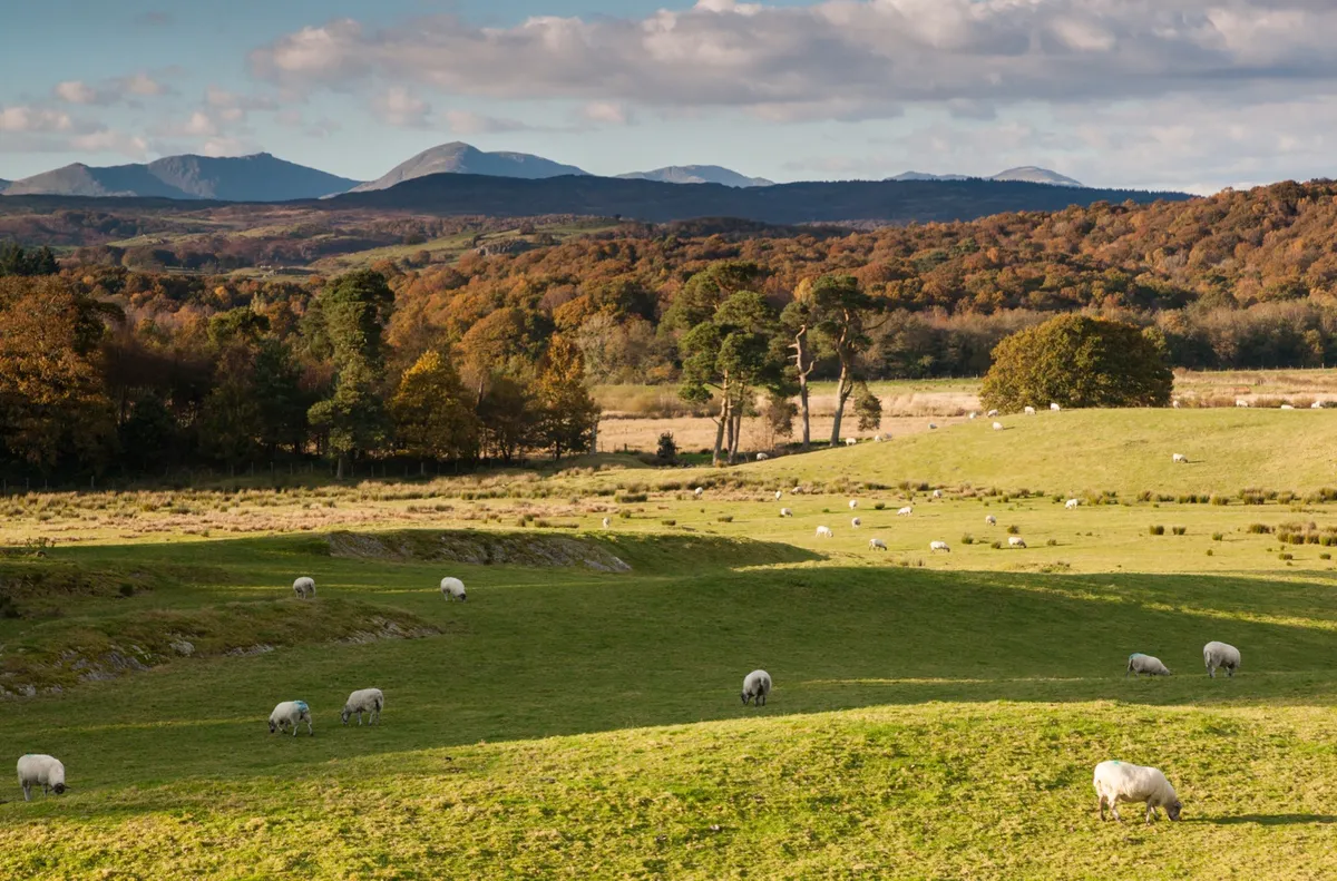
Rippling across the crags between Windermere and Coniston, Grizedale is 8,000 acres of mixed forest laced with tracks and endowed with a renowned series of outdoor sculptures.
Old Man of Coniston
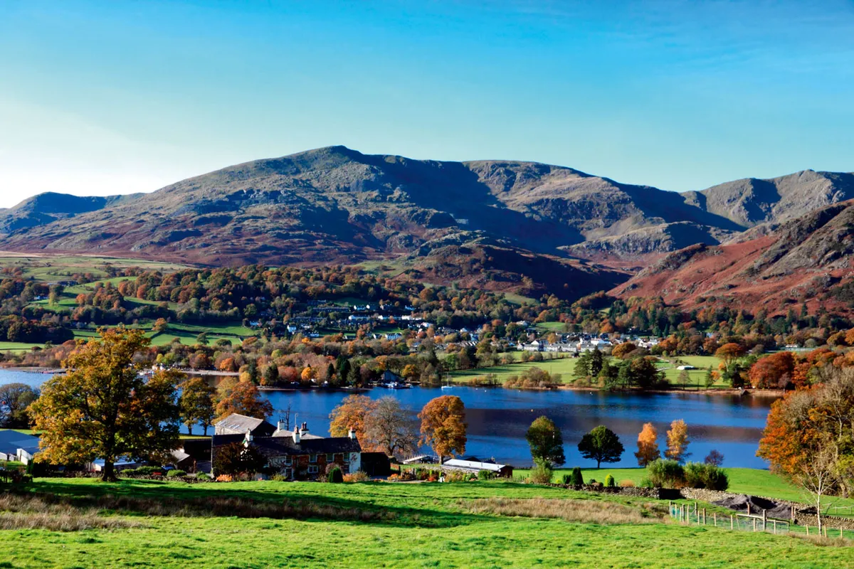
The village of Coniston, an attractive little spot bisected by the bustling waters of a mountain stream, sits near the northern end of beautiful Coniston Water in Cumbria. Walk beside high tarns and copper-mining relics to a magical fell-top vista in the Lake District National Park.
Brigsteer Woods
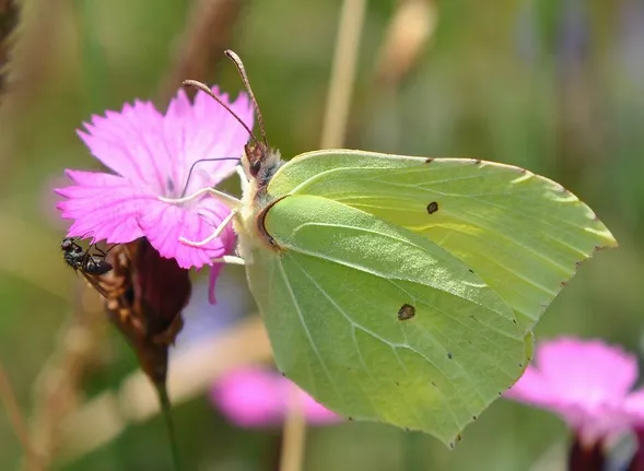
Walk past a medieval castle and glowing wild daffodils with this four-mile walk in the Lake District National Park.
Holme Wood and Loweswater
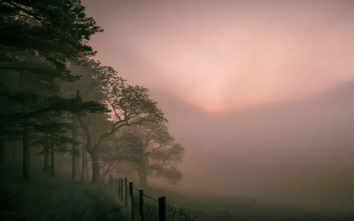
Holme Wood lies not far from the Lake District National Park boundary and sits on the shores of one of its most idyllic lakes – explore this special corner of Britain with a four-mile walk.
Bowness-on-Windermere to Kennel Wood

A mile or two from the bustle of Bowness-on-Windermere in the Lake District National Park stands a lonely oak, at its most enchanting after a night of snowfall in winter.
- 2.8 miles/ 4.6km
- Moderate
- 2 hours
Rydal and Grasmere

On this six-mile walk in Wordsworth country, the Lake District’s autumn hues rival those of New England. But it’s just at picturesque in winter, spring and summer.
- William Wordsworth's stunning Lake District home is for sale – so you could own and live in a little piece of literary history
- Dove Cottage, Cumbria
Levens Hall

Armed with sheet, head off through the landscaped parkland south of the river, curling north through a tranquil realm grazed by rare black fallow deer and the critically endangered Bagot goats, of which only a handful survive.
Howgill Fells

This challenging walk in the north-western corner of the Yorkshire Dales begins in the village of Sedbergh and climbs into Howgill Fells – take a break on The Calf, with staggering views west over the Cumbria landscape and east over North Yorkshire.
Smardale Gill
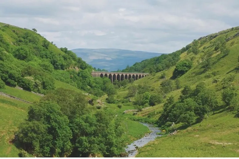
An old viaduct, built in 1861, rises almost 30m on 14 stone arches above Smardale Beck – it’s a fine vantage point for spotting all-year-round residents to the national nature reserve, such as sparrowhawks, buzzards and treecreepers. Enjoy a spectacular 7-mile walk through a secluded gorge in the Yorkshire Dales National Park.
Cross Fell

Feel on top of the world by conquering one of Britain’s best hikes with in the North Pennines.
