
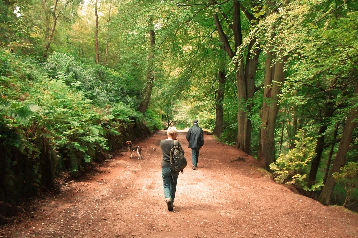
The English countryside is a place of great diversity, from the towering coastal cliffs of Exmoor and Dartmoor's ancient woodlands to the delightful dales of Yorkshire and the wild waters of the Lake District.
Discover these landscapes on foot with our list of the country's most beautiful walking routes, from the best circular walks in England and epic long-distance hikes, to easy there-and-back-again strolls.
Each route has its own walker's guide, comprising a map, path directions and more useful information, meaning your next adventure in the countryside begins right here.
Best country walks in England
Valley of Rocks, Devon
5.8km/3.6miles | 2 hours | moderate
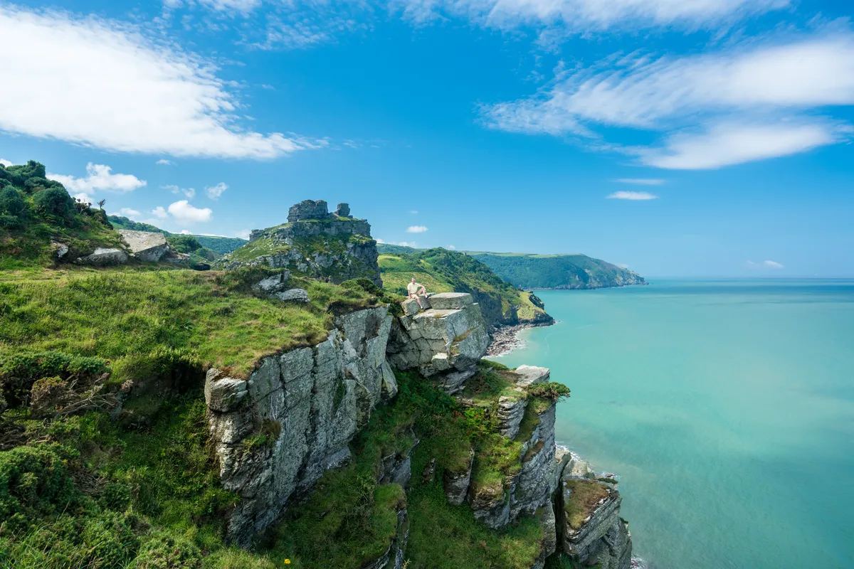
On a quiet day, there’s a lost world feel to North Devon’s enigmatic Valley of Rocks, despite the serpentine ribbon of road that curls through the vale in the place where a river once ran. Exult in towering sea cliffs where feral goats clamber skilfully between Devonian crags on this short circular walk around the rocky coastal valley.
Valley of Rocks walking route and map
Zennor Head, Cornwall
7.5km/4.6 miles | 3.5 hours | moderate

This circular walk heads through farmland and woods before emerging on to the towering granite cliffs of Cornwall's north-west coast – a dramatic section of the South West Coast Path, home to seabirds, wildflowers and Atlantic waves.
Zennor Head walking route and route
Buttermere and Rannerdale Knotts, Cumbria
12km/7.5 miles | 4.5 hours | moderate

Henry David Thoreau wrote of tramping 8 or 10 miles to “keep an appointment with a beech tree, a yellow birch or an old acquaintance among the pines”. Here in the Lakes, visitors can do the same with a walk of about eight miles, first climbing to the crest of Rannerdale Knotts before returning via the iconic Buttermere Pines.
This walk includes some of the Lake District’s most beautiful trees and forests, where myth and legend tangle with the Scots pines and the golden needles of larches.
Buttermere walking route and map
Rhinefield, Hampshire
5.1km/3.2 miles | 1.5 hours | easy
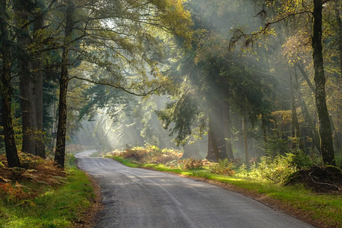
Take a sensory walk past towering redwoods and monumental firs in the New Forest National Park. Stroll beneath their fragrant branches, feel their thick bark and reach your arms around their massive girths. As you wander, look for roe deer, wild boar and New Forest ponies.
Rhinefield walking route and map
Seven Sisters, East Sussex
6km/3.7 miles | 2 hours | moderate

At the National Trust hamlet of Birling Gap, the sea’s aroma sits strong in the air. From the top of the steps above the beach and its numerous rockpools, the views of the Seven Sisters and Seaford Head are excellent.
Walk atop the magnificent chalky cliffs of the Seven Sisters in the South Downs, where kittiwakes and fulmars can be seen alongside Brimstone butterflies and flowering cowslips.
Seven Sisters walking route and map
Horsey, Norfolk
8.7km/5.4 miles | 3 hours | easy/moderate
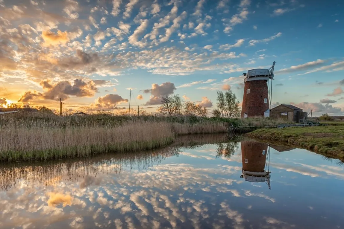
Horsey’s pale sands and huge skies are evocative at any time of year. But as winter storms roll in and colour leaches from the landscape, this otherwise desolate stretch of the Norfolk coast comes alive with hundreds of breeding grey seals.
This 6.3-mile loop walk around the village of Horsey in the north-east of the Norfolk Broads National Park, runs alongside the North Sea and then inland through wildlife-rich marshland, before returning to the village pub.
Holkham Beach, Norfolk
4.8 miles | 3 hours | easy/moderate

It is said that in Norfolk you can tell how far you are from the coast by the roundness of the flint on the outside of the buildings – the rounder the flint, the closer you are to the sea. The interaction between sea and land is strong along the North Norfolk coast, where mudflats and salt marshes sit alongside miles of beaches. One such beach is Holkham.
Follow this 4.8-mile walking route through ancient pine woods to the spectacular Holkam Beach.
Tegg’s Nose and Macclesfield Forest, Cheshire

Just 20 miles from Manchester city centre, the precipitous Tegg’s Nose Country Park represents an abrupt end to the Cheshire Plain, with flat fields replaced by a whole new, wild landscape of steep, craggy hills, open moors and dense, impenetrable forest. Explore the area on foot with a 7.5-mile hike.
Tegg's Nose walking route and map
Chee Dale, Miller’s Dale and Wye Dale, Derbyshire
6.8km/4.2 miles | 3 hours | moderate
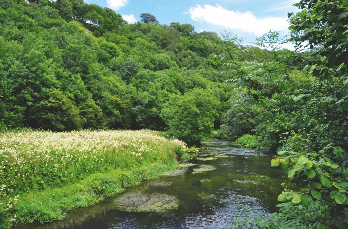
Deep in the White Peak east of Buxton is a captivating area of countryside; a union of natural bounty and majestic engineering that together create a truly astounding landscape. Although it may have its challenges, this walk is readily accessible to all with a measure of agility and a sense of adventure.
Cheedale walking route and map
Chrome Hill, Derbyshire
10km/6.2 miles | 4 hours | moderate

A quirk of geology has produced a strand of sharp limestone hills which erupt like a string of vertiginous miniature mountains from the haymeadows and soft pastures of the higher Dove Valley, near Buxton.
The Dragon’s Back range are often cited as the only true peaks in the Peak District; a line of pinnacles said to resemble the ‘plates’ along the spine of a stegosaurus dinosaur. The walker’s reward is ending up at Earl Sterndale’s pub, the cosy Quiet Woman, a wonderful hark-back to the village pubs of yesteryear.
Discover the spectacular Dragon’s Back with this 6.5-mile hill walk.
Chrome Hill walking route and map
Caer Caradoc Hill, Shropshire
7.2km/4.5 miles | 2.5 hours | moderate

This moderate-level ramble takes you from the train station to the summit of Caer Caradoc and its ancient hill fort – thought to date from either the Iron Age or Late Bronze Age. It’s a stiff climb to the top, but one worth the effort for the spectacular views.
Caer Caradoc Hill walking route and map
Burnham Beeches, Buckinghamshire
7.4km/4.6 miles | 2.5 hours |easy/moderate
Take a walk through the historic Burnham Beeches National Nature Reserve – one of the best examples of ancient woodland in Britain. The forest is best explored in the autumn months with a midway lunch stop at a traditional country pub.
Burnham Beeches walking route and map
Dimmings Dale, Staffordshire
6.2km/3.8 miles | 2 hours | easy/moderate
Magnificent woods clothe the banks of the River Churnet and its canyon-like valley in North Staffordshire. Between Leek and the picturesque little town of Alton, the watercourse wriggles its way through this secluded, arboreal landscape. It surges through the occasional village amid a beguiling countryside brimming with heritage, far from that madding crowd.
After a leisurely walk in Staffordshire’s captivating Churnet Valley, seek out an engaging tearoom haven cosseted by tranquil wildflower-rich forest.
Dimmings Dale walking route and map
Muker, Swaledale, North Yorkshire
11km/6.8 miles | 4 hours | moderate
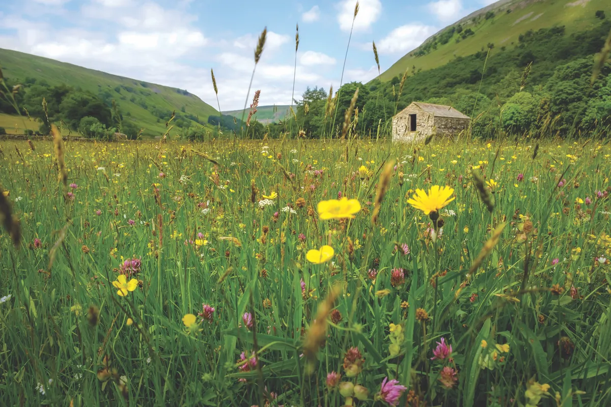
In late spring, Swaledale’s hay meadows burst into life – a colour bonanza best absorbed after a cup of Yorkshire tea and a slice of cake. This splendid 7-mile circular route starts at Muker and follows the River Swale east to the village of Gunnerside. It's a perfect spring walk but can be enjoyed at any time of the year.
Rydal and Grasmere, Cumbria
9.6km/6 miles | 4 hours | moderate
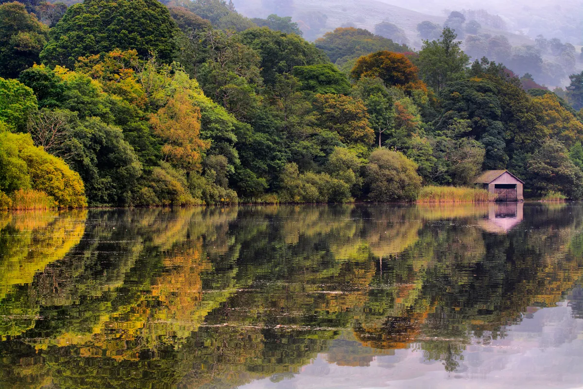
On 23 October 1802, Dorothy Wordsworth wrote in her journal: “A breathless, grey day that leaves the golden woods of autumn quiet in their tranquillity, stately and beautiful in their decaying. The lake is a perfect mirror.”
This six-mile circular tour around Grasmere and Rydal Water illustrates perfectly how her description of the autumnal landscape is just as evocative today as it was when she wrote it in her journal 215 years ago. The route starts and finishes at Rydal, home to the Badge Bar – the perfect reward after a day on the trail.
Rydal Water walking route and map
Roseberry Topping, Yorkshire
13km/8 miles | 4.5 hours | moderate/challenging
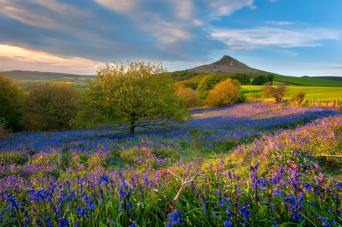
Towering above Newton Wood is Roseberry Topping. Yorkshire’s Matterhorn, as it is also known, sits in the far north-west of the North York Moors National Park. It’s thought that its iconic profile may have been caused by a mine collapse in 1912. Explore this landscape with an 8-mile circular walk.
Roseberry Topping walking route and map
Sycamore Gap, Northumberland
4.1km/2.5 miles | 1.5 hours | easy/moderate
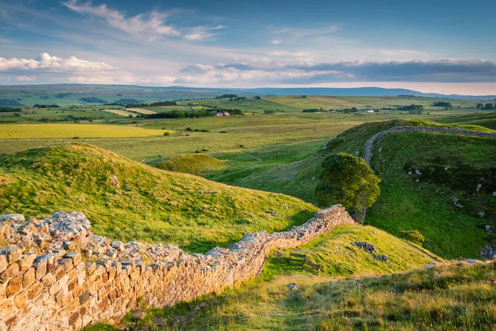
What did the Romans ever do for us? Well, they built a very long wall, set among miles of lonely, surging hill country. And although they didn’t construct the Twice Brewed Inn, the pub is beautifully positioned just to the south of Hadrian’s Wall and is the ideal starting point for exploring one of its dreamiest sections.
This is a stirringly beautiful walk whatever time of year you visit. But in an ideal world you would walk this route on an early autumn evening, when the sun starts to dip and fill what feels like the whole of Northumberland with a burnished gold.
Follow our plotted 2.5-mile (4km) walking route along Peel Crags to Sycamore Gap in Northumberland.
Sycamore Gap walking route and map
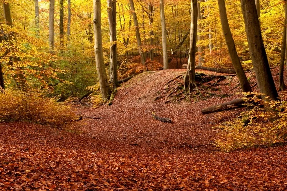
Teign Gorge, Devon
6.9km/4.3 miles | 2.5 hours | moderate
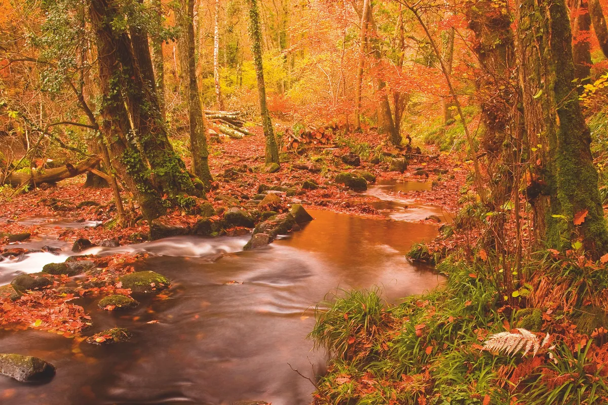
The River Teign tumbles off windswept moors, swirling and carving through a spectacular gorge overhung with crooked oaks and beeches. The fresh autumn air invigorates the soul, while the peace is occasionally broken by the chilling bellows of a stag ready to rut.
Take a stroll from Castle Drogo in Dartmoor National Park through Piddledown Common and Fingle Wood a see one of England’s largest woodland restoration projects.


