Northumberland National Park is located in the north-east of England. Established in 1956, about 70% of the park's 405 square miles (1,049 square kilometres) is open moorland.
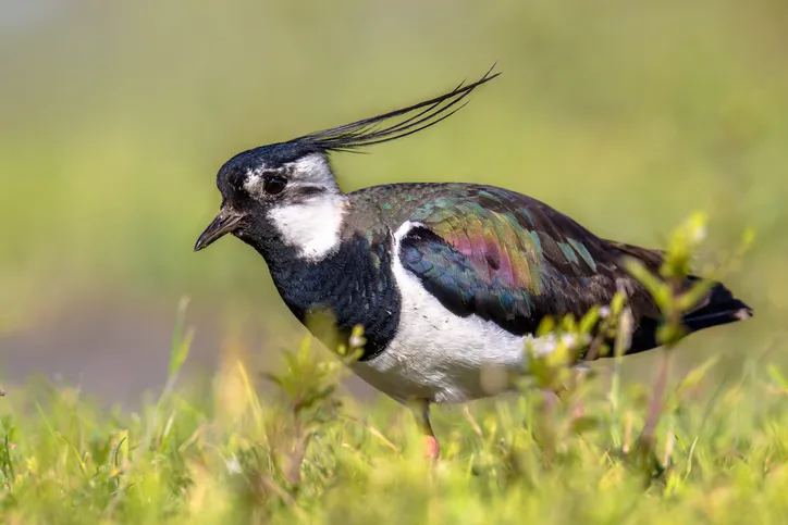
Red grouse and tiptoeing curlews hide among the heather. And alongside this wildlife, there's Hadrian's Wall, stretching for 73 miles across the Northumberland landscape.
Explore this rugged landscape with our pick of the best day walks and long-distance hiking routes in Northumberland National Park.
Learn more about Britain's national parks
What is a national park, how many national parks are there in the UK, and where is the nearest one to you? Our guide to the UK's 15 spectacular national parks looks at the history of each, how to visit them, the best walking routes, and local wildlife to spot.

Northumberland National Park walks
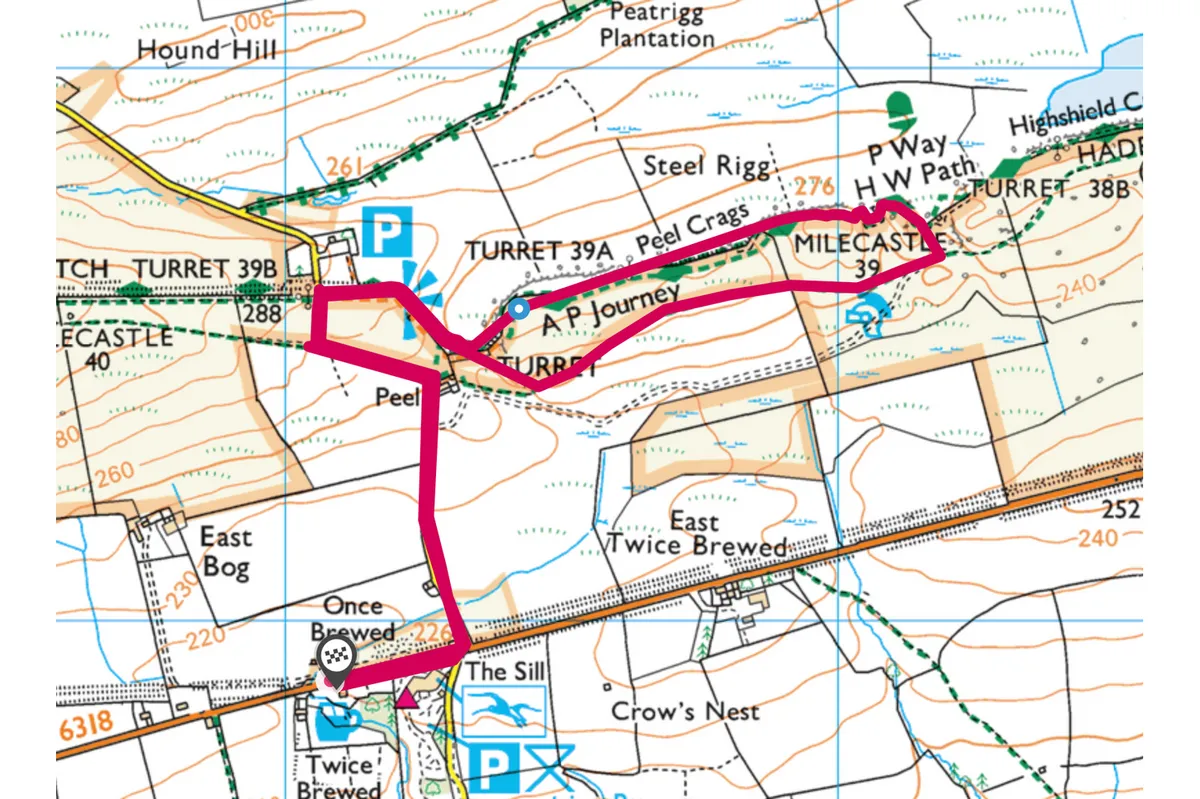
Twice Brewed Inn and Sycamore Gap, Northumberland
2.5 miles | 1.5 hours | easy–moderate
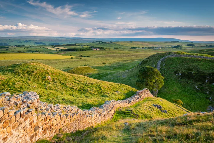
Embrace a romantic Roman walk along Hadrian’s Wall in Northumberland National Park before returning to the Twice Brewed Inn for a hearty pub feast.
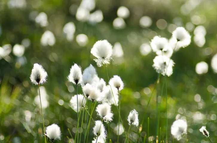
Otterburn Ranges, Northumberland
8.2 miles | 5 hours | moderate
Follow a high-level route on the Otterburn Ranges in Northumberland National Park to observe wild goats, moorland birds and perhaps, if you are lucky, rare black grouse.
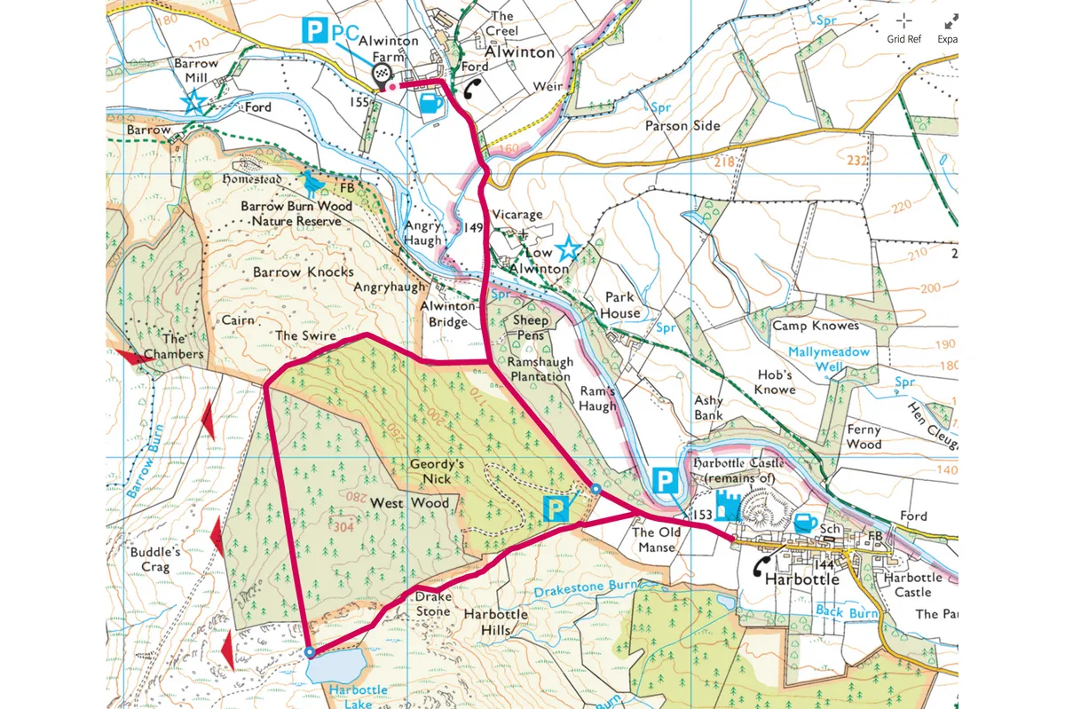
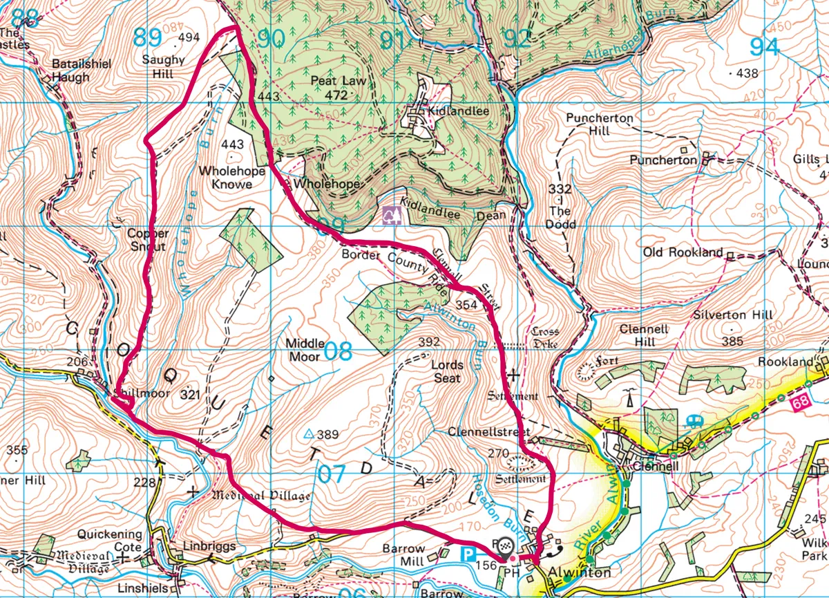
Alwinton and Harbottle, Northumberland
4.4 miles | 2.5 hours | moderate
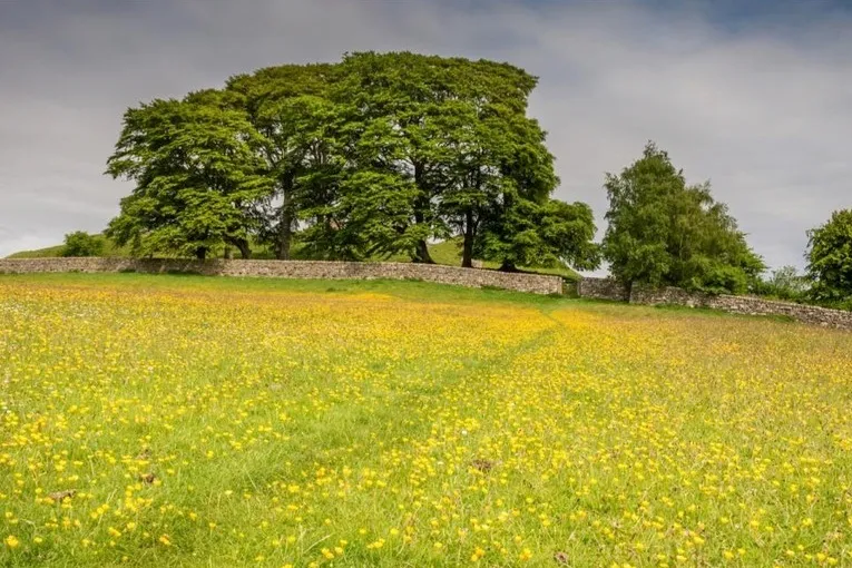
The tiny village of Alwinton nestles where the plains of the middle reaches of the River Coquet begin to narrow towards Coquet Gorge. It sits on the border between the fell sandstones to the south and the volcanic Cheviot Hills to the north. Enjoy the history, geology and wildlife surrounding these peaceful villages with a 4.5-mile countryside walk.
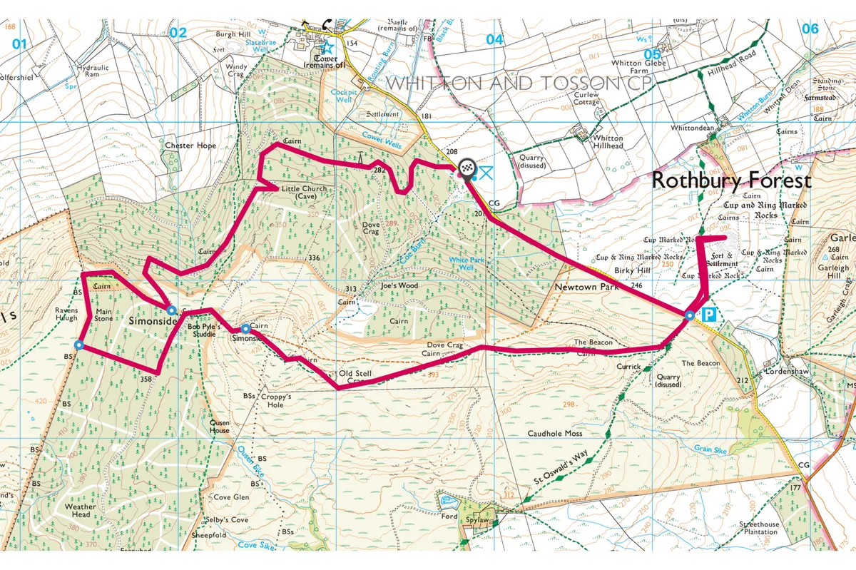
Simonside Hills, Northumberland
7.4 miles | 4 hours | moderate
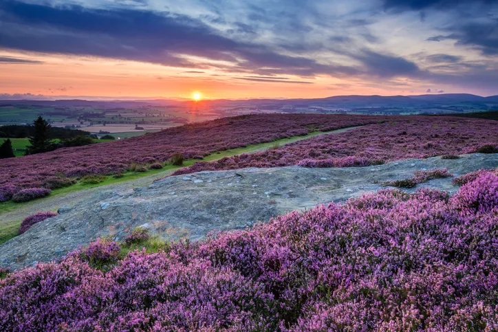
The fell sandstones of the Simonside Hills were deposited from a river delta some 330 million years ago. Weathering and erosion have led to their dominant aspect, which makes them recognisable throughout the county. Walk through conifer forests and across heather moorland to these distinctive summits with a seven-mile hike.
Greenlee Lough, Northumberland
3.4 miles | 1.5 hours | moderate
Lying to the north of the Great Whin Sill, and easily visible from Hadrian’s Wall, Greenlee Lough is the largest natural lake in Northumberland. The wetlands surrounding the lough make up a rare mosaic of habitats, home to a rich variety of flora and fauna.
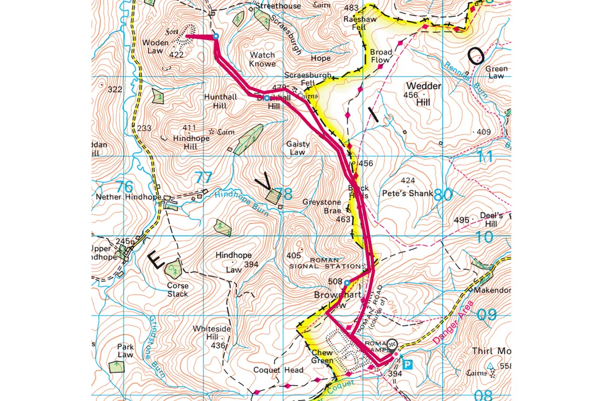
Upper Coquetdale, Northumberland
8.4 miles | 5 hours | moderate
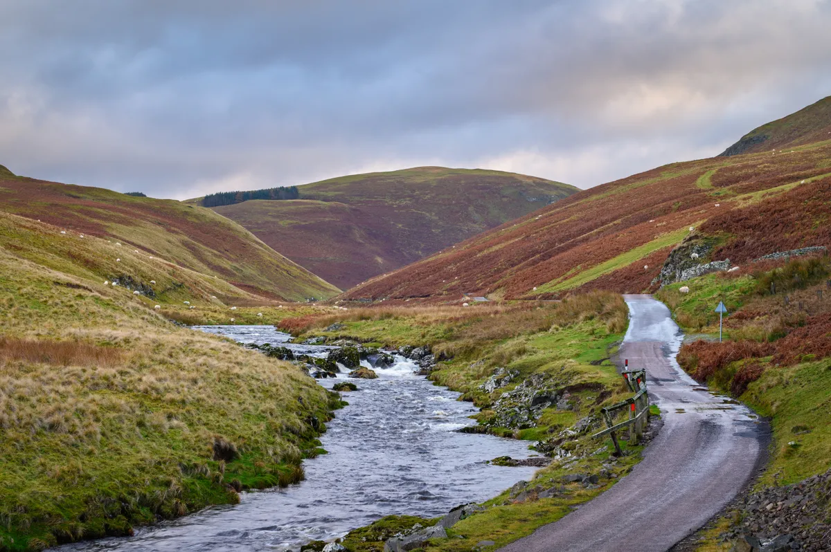
Northumberland’s Upper Coquetdale is physically and historically one of the wildest parts of England. Explore this fascinating landscape on an eight-mile walk over the broad grassy ridgelines, steep-sided valleys and ancient droving routes.
College Valley, Northumberland
4.8 miles | 3 hours | moderate
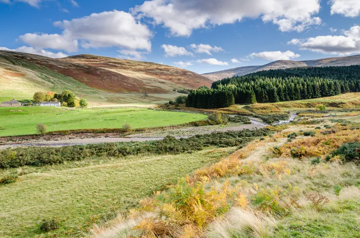
Running through the base of this tranquil valley in the northern limits of Northumberland National Park is College burn, a winding river surrounded by moorland hills. Look out Cheviot Goats on the slopes near Hethpool Mill.
College Valley walking route and map
Greenhaugh and Thorneyburn, Northumberland
2.5 miles | 1.5 hours | moderate
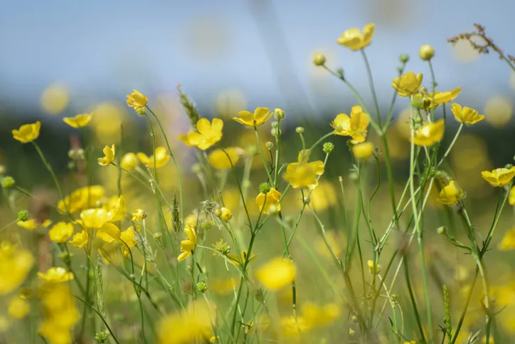
Starting in the village of Greenhaugh, head west on this 2.5-mile circular walk along country lanes and rivers and through meadows of singing wildflowers.
Greenhaugh and Thorneyburn walking route and map
Hareshaw Linn, Northumberland
3 miles | 2 hours | easy–moderate
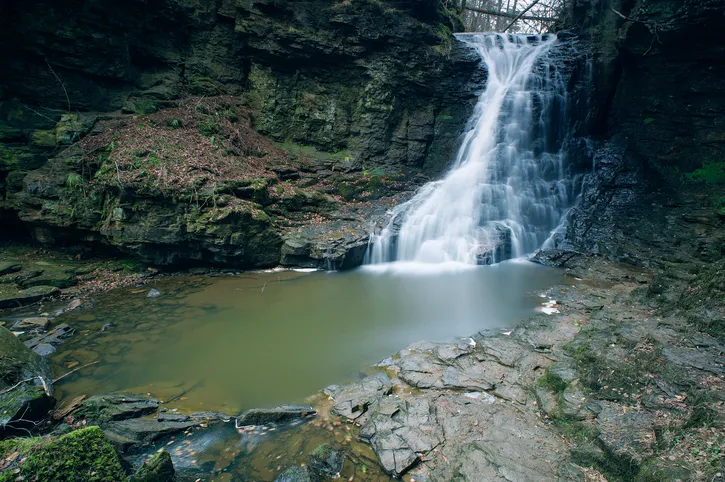
Explore the woodlands and waterfalls of Hareshaw Linn, home to more than 300 different types of mosses, liverworts and lichen. Keep and eye out for great spotted woodpecker, badgers, red squirrels and daubenton’s bats.
Hareshaw Linn walking route and map
Flagstone Burn, Northumberland
2 miles | 1 hour | easy
This short walk (2 miles) from Falstone along Falstone Burn offers walkers of all abilities the chance to spot a range of wildlife – from kestrels and buzzards to roe deer and red squirrels.
Flagstone walking route and map
Elsdon Burn, Northumberland
3.5 miles | 2 hours | easy
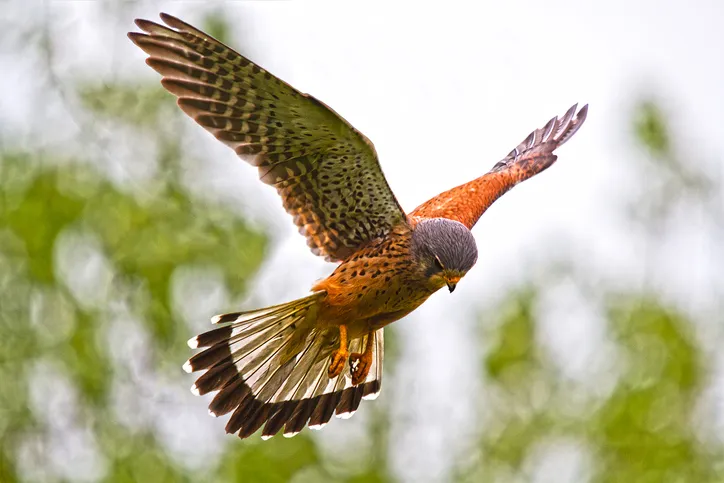
[image id="16455" size="landscape_thumbnail" align="none"] Look out for little owls and brown hares/Credit: GettyThis family friendly walk on the eastern edge of the national is perfect for wildlife enthusiasts and historians alike. Look out for a 12th-centruy church, the Mote hills earthworks and a Northumbrian Pele tower.


