Numerous walking routes emanate from the pretty Shropshire town of Church Stretton, making it a great base from which to explore the surrounding hills and woodlands.
This moderate-level walk takes you to the 495m summit of Caer Caradoc and its ancient hill fort – thought to date from either the Iron Age or Late Bronze Age.
It's a stiff climb to the top, but one worth the effort for the spectacular views across the surrounding Shropshire countryside.
The walk starts at the Church Stretton train station. If you're arriving by car, there are several parking areas in town, as well as on-street parking.

Caer Caradoc Hill walk
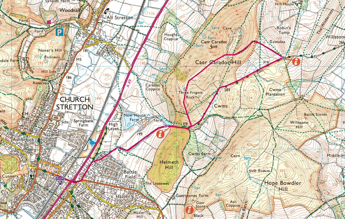
7.2km/4.5 miles | 261m accent | 2.5 hours | moderate
1. Station start
Leave the train station, first heading west towards town before turning sharp right (east) onto Sandford Avenue, now walking away from town. Walk over the train line on the town bridge, then carefully cross the A49, continuing straight ahead on Sandford Avenue. After about 100m, turn left onto Watling Street North. Stay on this for about 250m.
2. Low lanes
Turn right and climb uphill alongside a sunken lane, following the tree-lined field boundary to the left. Pass two farm reservoirs and enter forest.

3. Upwards
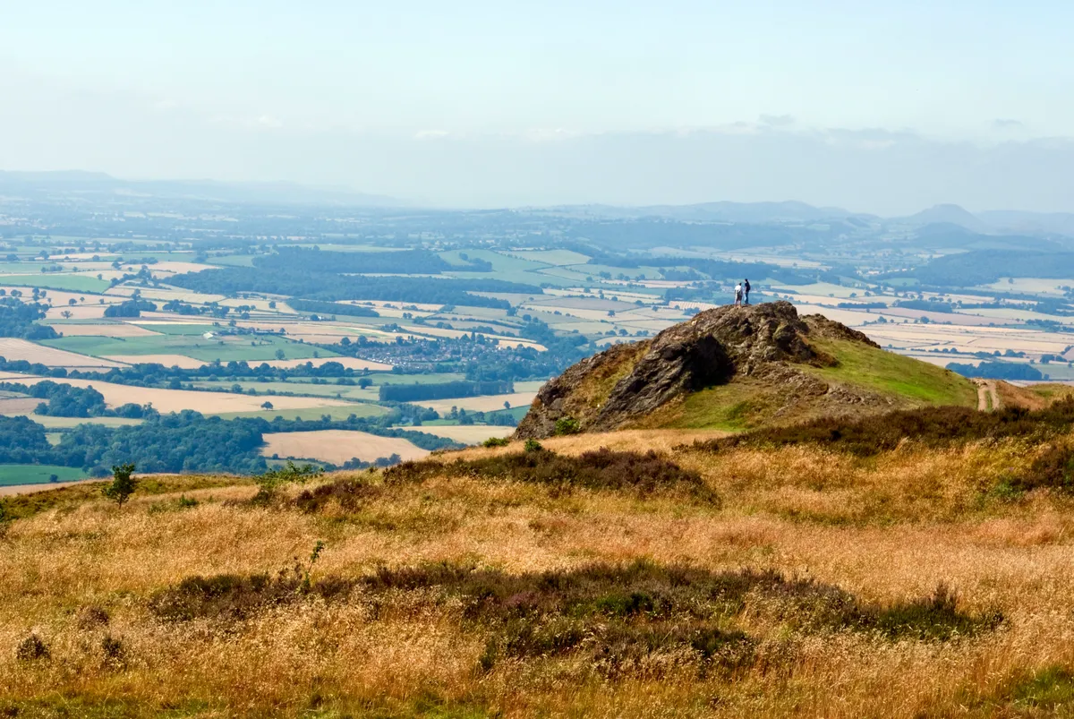
After about 100m a steep path veers off to the left. Take this and climb carefully up the side of the hill, ignoring side paths. Before you know it you'll have reached the top – Three Fingers Rock. This unusual tor offers an ideal vantage point from which to absorb the surrounding countryside.
4. Ridge ramble
From here, follow the Caer Caradoc Hill ridgeline north-east, dropping down to the right of the Caer Caradoc fort on the main track, eventually meeting a stile and a gravel and mud roadway.
5. Home straight
It's now simply a matter of following the bike-friendly track south-west for about 1km back to the base of the hill where you begun your climb. Retrace your steps back to the station.
More great walks in Shropshire
Caer Caradoc Hill map
Caer Caradoc Hill walking route and map