The Llanberis Path is the most gradual of the six routes up Yr Wyddfa (Snowdon) in north-west Snowdonia. The 9-mile return walk is also the longest route to the summit.
The trail begins in the village of Llanberis and climbs on a clear path up the north-west arm of the mountain, joining three of the other Yr Wyddfa paths at Bwlch Glas before the final ascent to the top.
Much of the Llanberis Path follows the trackline of the Snowdon Mountain Railway, and it's likely those taking on the climb will share the path with a host of other walkers. As always with mountain walking, anyone wishing to climb Yr Wyddfa should have a good level of fitness, navigation skills, a map and compass, warm, waterproof clothing, sun protection, water and food, a torch and whistle, and good walking boots.
Find out more about Yr Wyddfa
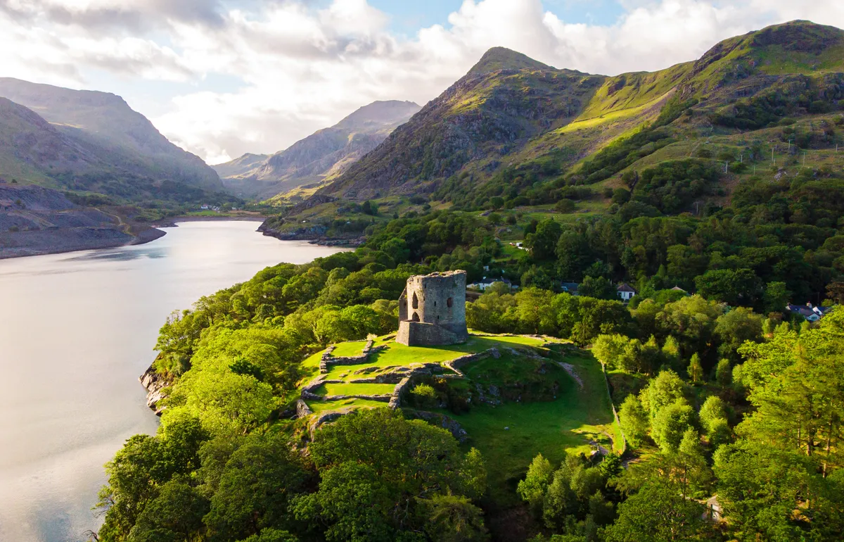
Yr Wyddfa, or Snowdon, is the highest mountain in Wales and England. It is also one of the most visited landmarks in Eryri (Snowdonia), not only for its mountain status but so too for its spectacular views of Anglesey, the Llyn Peninsular and the neighbouring peaks.
Llanberis Path walk
9 miles/14.5km (return) | 6–7 hours | challenging
1. Start
The longest, steadiest and most easily navigable route up Yr Wyddfa begins at the end of Victoria Terrace opposite the Victoria Hotel in Llanberis. Ascend the steep lane beyond the cattle grid.
2. Past the tea house
Pass characterful Pen-y-Ceunant Isaf Tea Rooms. A warm Welsh welcome is guaranteed at any time of year but is particularly special off-season when you might get the open fire and Steffan’s hospitality to yourself.
3. Off-roading
Continuing uphill, turn left off the road on to the waymarked path. Note the mountain railway, below right, whose rack and pinion track has been conveying passengers since 1896.
4. Halfway house
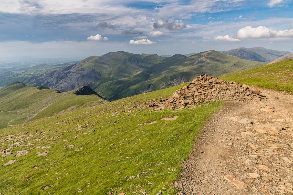
Halfway House is open in the summer months for basic refreshments. From here on the path is steeper and the weather less predictable, so it’s a good place to turn back if you’re feeling wobbly. The path up Allt Moses is steeper and bouldery. In clear weather the vista opens out, revealing Glyder Fawr ahead.
Discover more walks in Eryri (Snowdonia)
Packed with great mountain climbs, idyllic river walks, lakeside rambles and coastal hikes, Eryri National Park is the perfect getaway location for hiking – here's our pick of the best walks in Eryri.
5. Under the line
Pass under the railway near Clogwyn Station. The bridge provides your last shelter, so is a good place to don extra layers in inclement weather. While views down to Cwm Glas Bach are gorgeous, this section is cut into a steep slope so can be lethal if filled with snow.
Continue to take great care as you bear right on to Carnedd Ugain overlooking Clogwyn Coch. The path here is less well defined but marked by cairns.
6. Meeting of tracks
At Bwlch Glas, a standing stone indicates the confluence of the Pyg, Miners’ and Ranger Paths and points clearly to the summit. (Pay heed on your descent – the Llanberis Path is the central path, clearly marked on the stone’s reverse.)
7. Top of wales
Expect to share the summit with fell-runners, charity walkers and those to whom Yr Wyddfa means something special.
In swirling cloud or crisp light the sense of achievement is palpable. Enjoy.
Llanberis Path map
Llanberis Path walking route and map