Journeying across a landscape by foot is a beguiling experience, especially when it involves multiple days. Not only is the sense of achievement palpable, but the mode of travel – slow, purposeful and intimate – creates a deep connection between people, place and nature.
The UK is blessed with myriad long-distance trails – the Long Distance Walkers Association lists more than 1,600 routes, but only a few rise above the din to achieve cult status.
One such trail is Alfred Wainwright’s Coast to Coast. The much-celebrated writer is perhaps best-known for his seven guidebooks describing 214 fells in the Lake District, but his long-distance route across northern England is a close second in the hearts of British ramblers.
The 182-mile trail traverses the width of England, from St Bees Head in the west to Robin Hood’s Bay in the east. If you’re feeling intrepid, take on the whole 182-mile pilgrimage; or, if time is scarce, simply walk a stage or two.
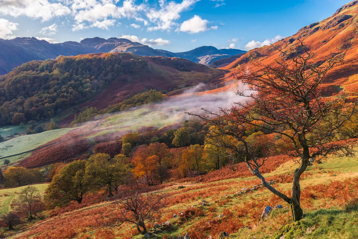
One of the very best legs is the delightful Rosthwaite to Grasmere section. Crossing the Central Fells in the Lake District, this stage includes more than 700m of ascent.
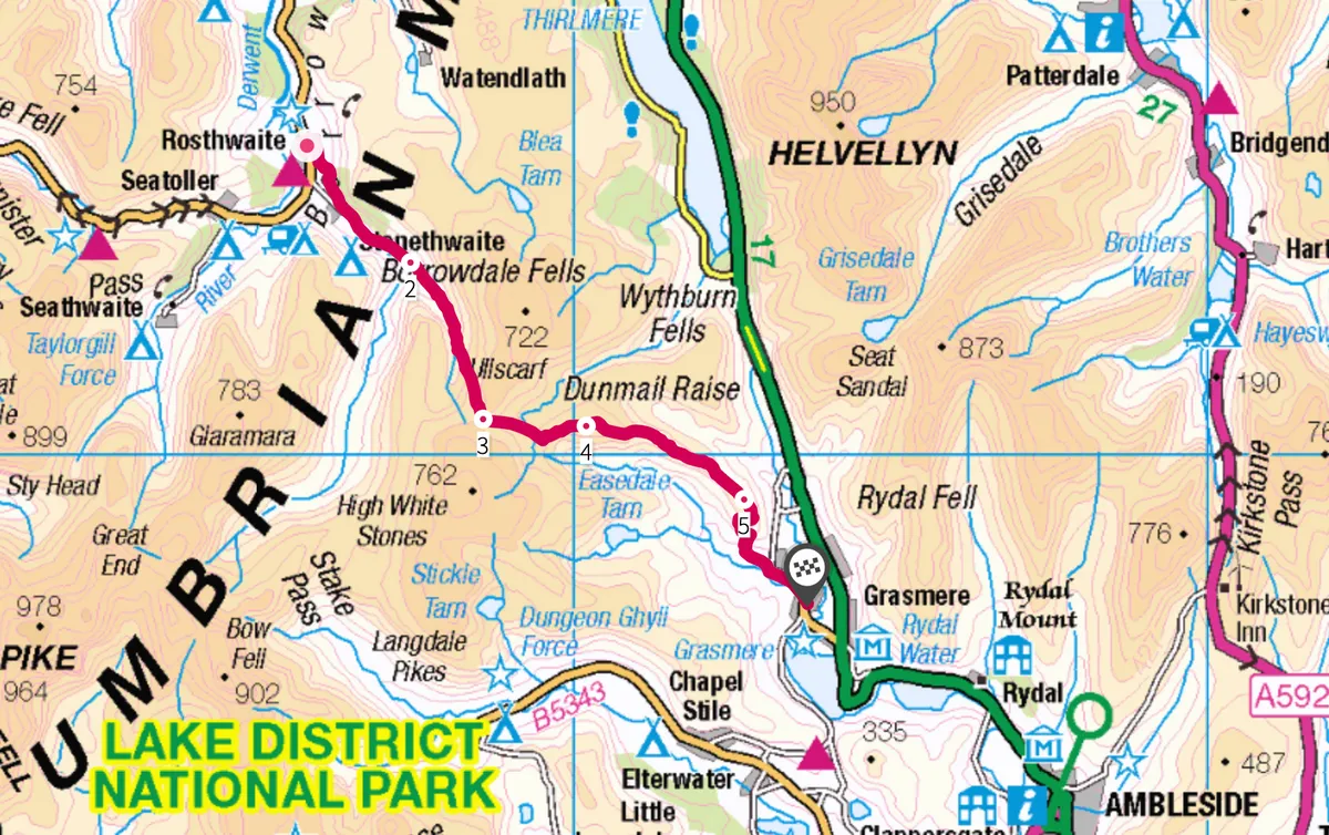
Rosthwaite to Grasmere walk
8.2 miles/13.2km | 6–7 hours | challenging
1. A walk in heaven
From the National Trust car park in Rosthwaite, head north-east to the main road. Turn left and then right to cross the bridge over Stonethwaite Beck. Turn right and head south on a good path that veers south-east.
Beyond a gate, bear right and head south, then south-east, following a wall running parallel to the beck. Wainwright called this Stonethwaite section “a walk in heaven” – the wobbly drystone walls, craggy peaks and babbling brook really are a Lakeland idyll.
Go through a series of gates, cross Willygrass Gill and continue south-east along the beck. Pass Galleny Force and arrive at Smithymire Island.
2. Dale views
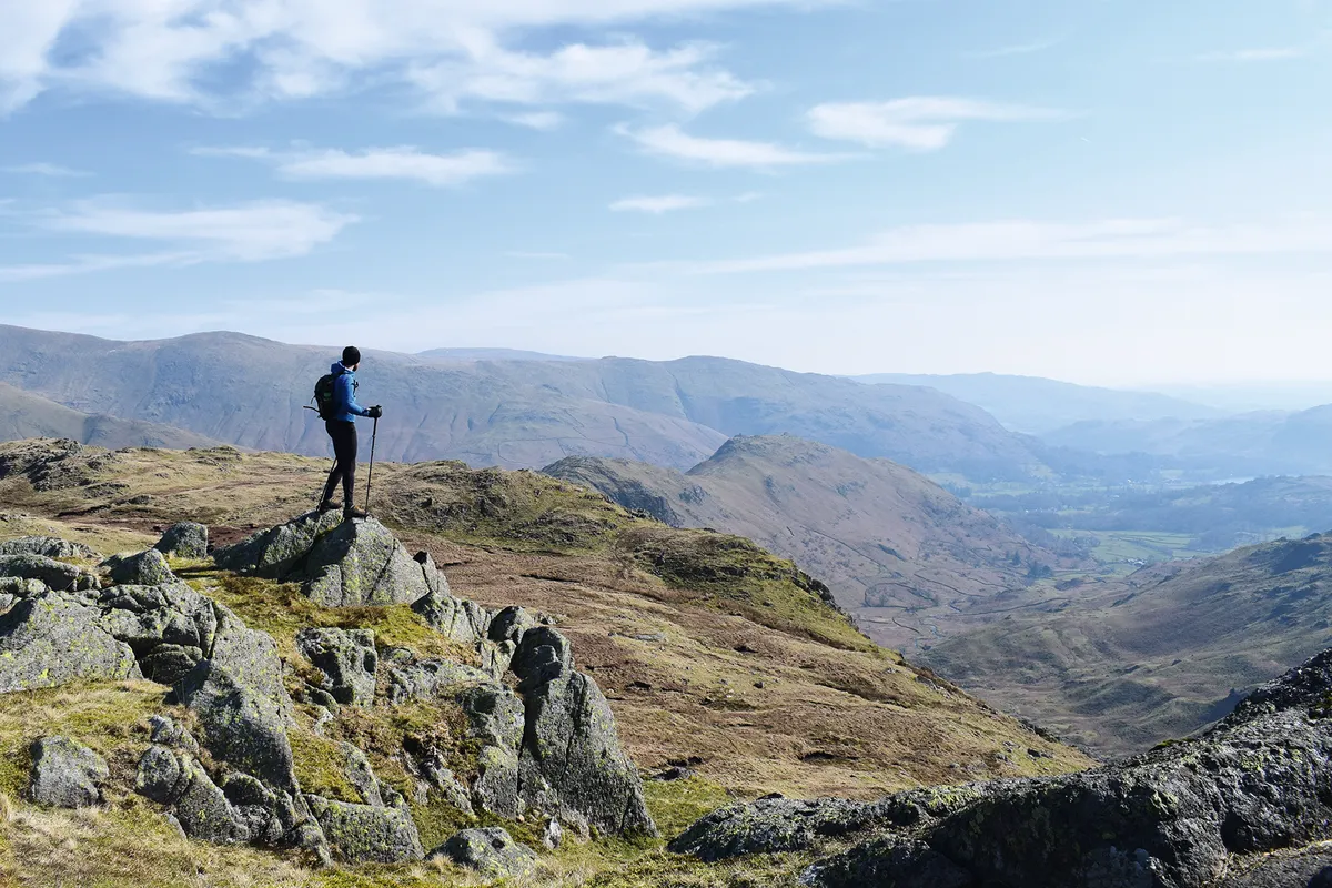
Ignore the turn-off to the right and instead climb gently south-east. Go through a gap in a wall, pass a sheepfold and continue following Greenup Gill. Go through a gate, pass a waterfall and continue south-south-east to emerge at flatter terrain. Savour the views behind you of the Borrowdale valley, where the woodland, grey cliffs, emerald pastures and white cottages “blend in perfect harmony,” as Wainwright noted.
Head up a spur to the base of Lining Crag. Climb to the left of the cliffs and veer right to emerge above Lining Crag. Continue south-south-east and then south over flatter, boggy ground, where the trod becomes indistinct, to arrive at Greenup Edge.
3. Gill to crag
Descend gently east on a stone-pitched path. Cross Flour Gill and drop down into a boggy plateau to the east of the Birks crags, crossing a number of other small streams. Climb briefly south-east to reach a line of old metal fenceposts and a cairn. Head north-east on a path skirting to the south of the tarn at Brownrigg Moss. Veering slightly right, ascend easily to the rocky summit of Calf Crag.
4. Rocky ridgeline
Descend north-east and then south-east over undulating terrain. Skirt east above Pike of Carrs and bear south-east along the ridge to the cairn on the summit of Gibson Knott.
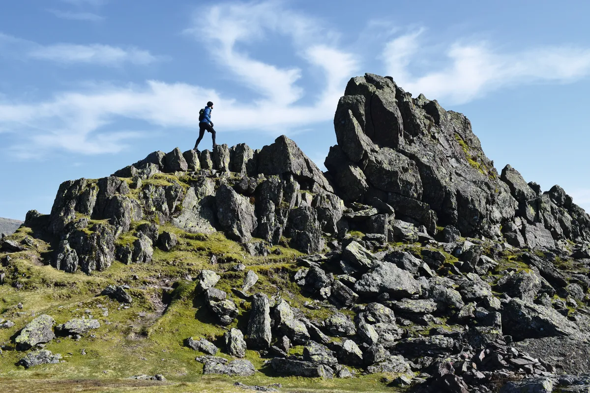
Drop south-east on a good trod, sticking to the right of the crest, then descend to Bracken Hause. Ahead, climb steeply to arrive at The Howitzer, a slanting slab of bare rock that marks Helm Crag’s summit. Scramble up it if you dare, taking extreme care as the drops are precipitous. Unnerved by the exposure, Wainwright himself never made it up The Howitzer, so don’t feel guilty if you too give it a miss.
5. Lion and the lamb
Continue south-east to the rocky excrescence known as The Lion and The Lamb (from the valley the outcrop resembles said animals), before descending the nose of the ridge south-east, then south. The views over Grasmere lake are quite breathtaking.
Loop sharply west and then south around White Crag. Continue descending east and then south to emerge at the road next to cottages. Turn left and take Easedale Road south-east all the way into Grasmere. This lovely village, which Wainwright described as “endowed with sylvan grace and dignity”, is perfect for a post-hike coffee and flapjack, or an overnight stay in a comfy B&B.
Rosthwaite to Grasmere map
Rosthwaite to Grasmere walking route and map
Words: James Forrest