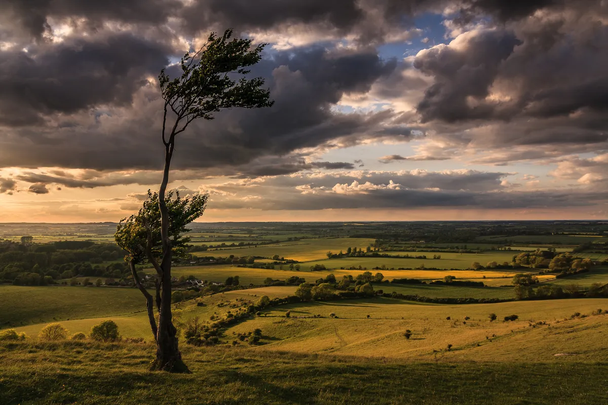
Britain's landscape is covered with spectacular hills, from the Cambrians in Wales and the Chilterns in southern England, to Northern Ireland's Mournes and Scotland's Southern Uplands.
One of the best ways to explore this bounty of ridges, knolls and uplands is on foot. There are thousands of paths to choose from – here are a few of our favourites, each with its own route description and map.
History of hills in the UK
Hills normally form the horizon line of our landscapes but in the past they were often viewed for how they could be used for the benefit of humankind. Thus, it is on and within these great mounds of rock and earth that some of our most meaningful historical relics can be found.
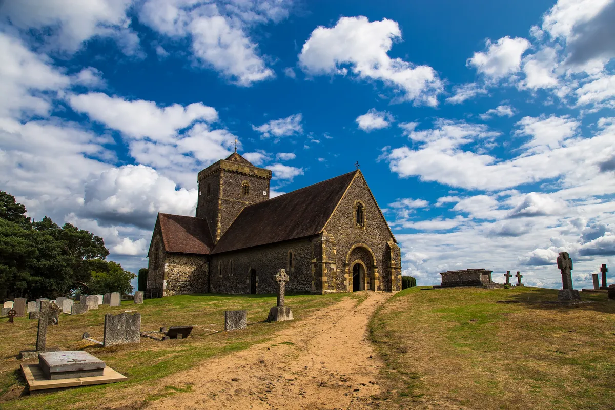
Hills have long been used for symbolic reasons. The St Michael Ley Line, for example, is thought by some to connect a string of hilltop churches dedicated to the archangel across southern England. Earlier people also used hilltops for spiritual purposes; some stone circles on hills may reflect this.

Wiltshire contains plenty of sites employing another ancient practice: the creation of geoglyphs. Here, grass and topsoil were removed to reveal an image on the hillside, white from the chalk beneath. The White Horses are a notable example. More recently, regimental badges were carved into slopes near Fovant by serviceman awaiting call-up in the First World War.
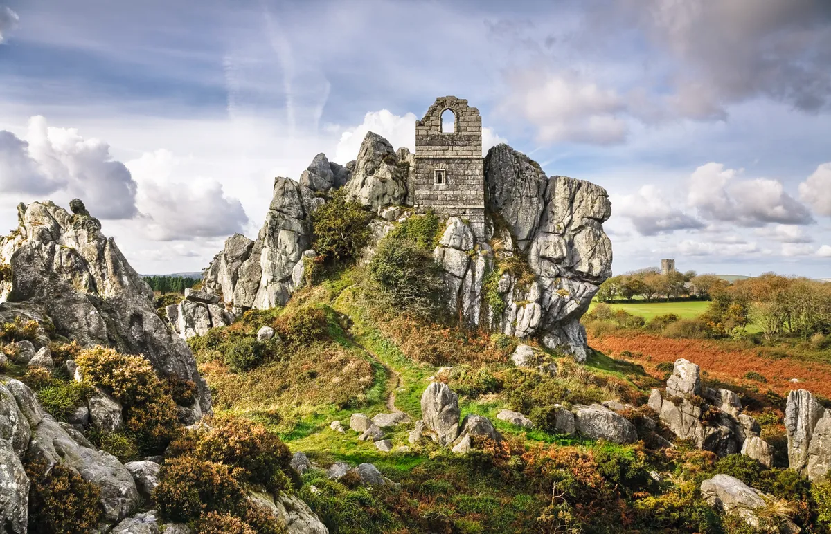
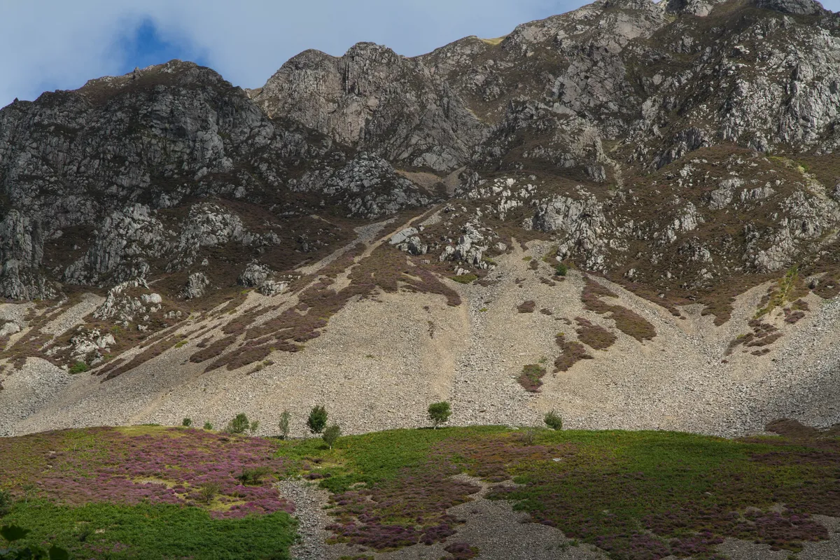
As a protrusion of geology, hills were, and still are, used for the properties they contain; the Welsh coal-mining industry springs to mind. But excavating rocks and minerals from hills has been going on longer than our image of canaries and cage lifts. Few visitors to the Langdale Peaks in the Lake District realise that not all of the scree on Pike o’ Stickle is natural. Some is discarded material from one of the most important Neolithic axe factories in Europe.
Best hill walks in Wales
Precipice Walk, Gwynedd
3.4 miles/5.5km | 2 hours | moderate
Wander the snaking shores of a Welsh fishing lake, bound by pendulous trees, sky-striving mountains and a Victorian cliff-top walk.Precipice Walk begins in Coed y Groes car park, but you don’t have to drive here. Dolgellau – itself a hub for the excellent pan-Wales TrawsCymru buses – is a pleasant 3km waymarked walk away. On weekdays, Nannau is also served by the 33 bus from Dolgellau.
Cefn Bryn, Gower
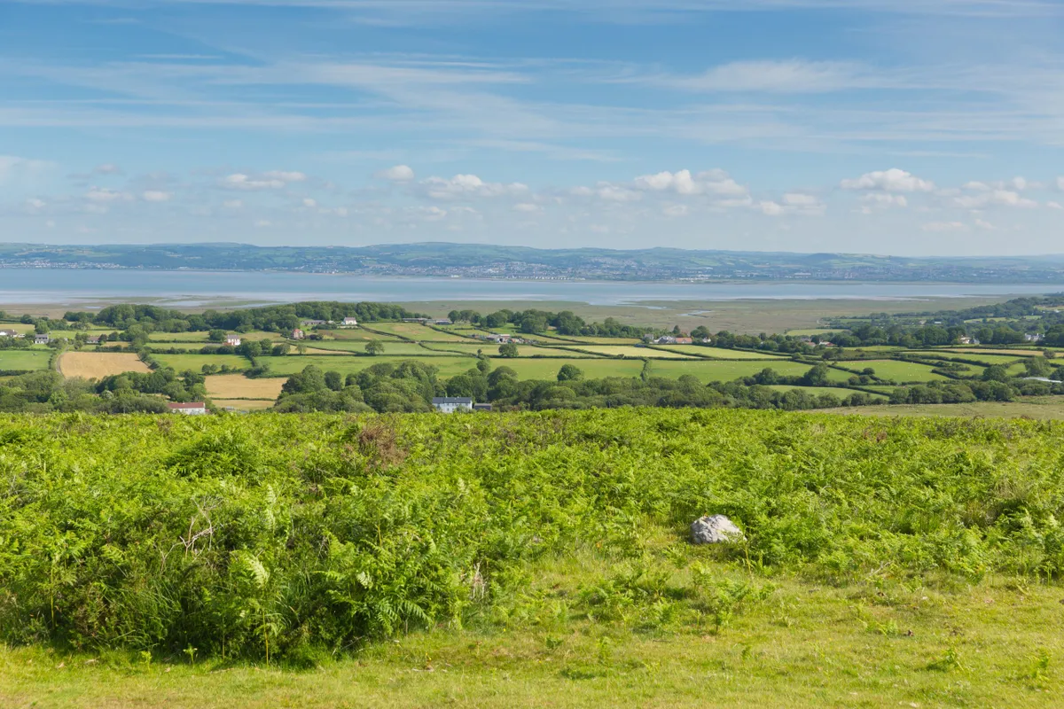
From Gower’s coasts, Cefn Bryn is a gently swelling sandstone ridge that invites your eyes and eventually your legs along its length. Scattered over it are prehistoric hut circles, burnt mounds and cairns, most notably the magnificent Maen Ceti (King Arthur’s Stone), a Neolithic cromlech that, built to shelter human bones, now harbours lichens and rain. Follow in the footsteps of our ancestors on this stunning walk through the heart of the Gower Peninsula.
Moel Tryfan and Mynydd Mawr, Gwynedd
8.3miles/13.3km | 5 hours |moderate–challenging
Welsh-language author Kate Roberts spent her childhood in Rhosgadfan on the slopes of Moel Tryfan and Moel Smytho, and it is the setting for her early novels including Feet in Chains and Tea in the Heather. Discover the landscape – both its bleakness and its light – that inspired Kate Roberts' work with this nine-mile walk across open slopes and though slate quarries in the Snowdonia National Park.
The Clwydian Range, Denbighshire/Flintshire
17.5miles/28.2km | 9–10 hours | challenging
The 11 Clwydians – a run of modest hills that you sink between and then promptly crest, with the breeze raking your hair and the sky scrubbing the heather – stretch south from Prestatyn for 20 miles between the Dee Estuary and Vale of Clwyd. Despite their location close to the Welsh border, the hills – as with all our landscapes – show evidence on their shapely summits of tensions between man and nature rather than the English and Welsh. By the time the Deceangli tribes built their fortified camps in the Iron Age, these hills already had a story to tell.
Dinas Mawddwy, Foel Benddin and Y Gribin, Gwynedd
8.7 miles/14km | 5–6 hours | challenging

Peace reigns in these hills. The Brigands Inn at Mallwyd, a 16th-century hostelry, provides very good food and lodging. And the village of Dinas Mawddwy with its farm shop, Caffi-Crefft (a community enterprise), post office-shop and convivial Red Lion pub is characterful and charming. For a piece of wild, brave the hills to the west, an unforgiving landscape once roved by a band of cattle-rustling, bow-wielding robbers.
Scotland
Conic Hill, Stirlingshire
6.4 miles/10.3km | 4 hours | moderate
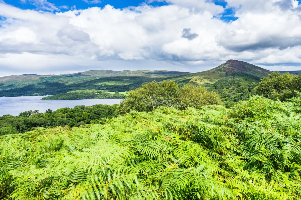
Climb an iconic Scottish hill, pausing at the summit for views across beautiful Loch Lomond and the Trossachs National Park.
Remember to take wet-weather gear in the colder months and plenty of water in summer. Whatever the season, sturdy boots are recommended, as well as a picnic!
Moffat Hills, Dumfries and Galloway
Lying just an hour or so from the urban centres of Glasgow, Edinburgh and Carlisle, the Moffat Hills comprise one of the most striking landscapes in the Southern Uplands. Although popular with walkers and cyclists, the lonely moorland, moody valleys, frothing waterfalls and enticing summits are relatively undisturbed compared to the Cumbrian peaks a little further south.
Bennachie, Aberdeenshire
5.5 miles/8.9km | 3.5 hours hours | moderate
Bennachie is a prominent prospect as you travel through the hills and river valleys of Deeside, its unique profile visible for many miles around. Rising from the flat plains of Aberdeenshire, a few miles west of Inverurie, Bennachie’s twin tops of Oxen Craig and Mither Tap grant far-reaching vistas. At 518m, Mither Tap is slightly lower than Oxen Craig (528m), but its shapely character leads to Bennachie’s Gaelic derivation ‘mountain of the breast’.
Bennachie’s sprawling plateau offers plenty of space to explore, marvellous wildlife and exemplary views of the Cairngorms’ mountains.
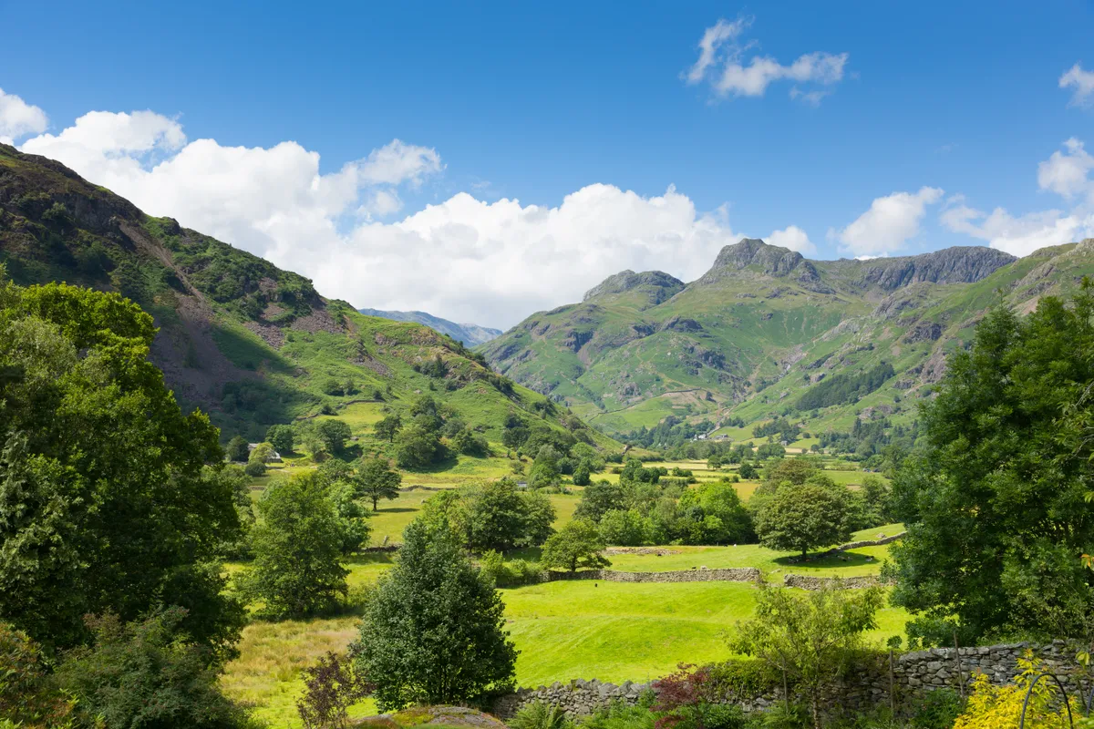
Glen Tilt and Loch Moraig, Perthshire
12.3 miles/18.8km | 7 hours | moderate–challenging
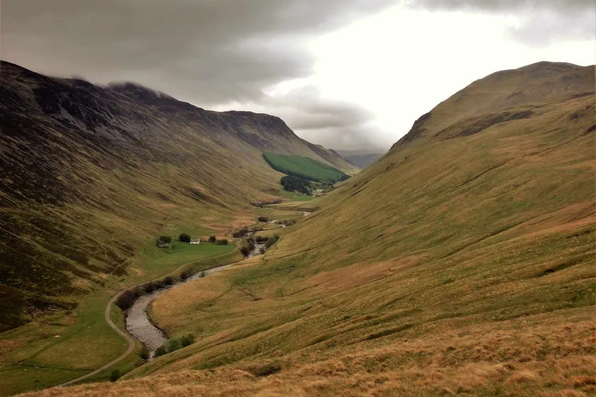
This 12.5-mile walk from Blair Atholl into the Cairngorms National Park passes beneath the summit of Carn Liath before returning through Glen Tilt. It can be done in one go or spread over two days with a wild camp overlooking the beautiful and dramatic Glen Tilt.
About half of the route uses footpaths and lanes but the other half in trackless, requiring a level of map reading and compass skills.
Northern Ireland
Slieve Binnian, County Down
6 miles/9.7km | 4 hours | moderate-challenging
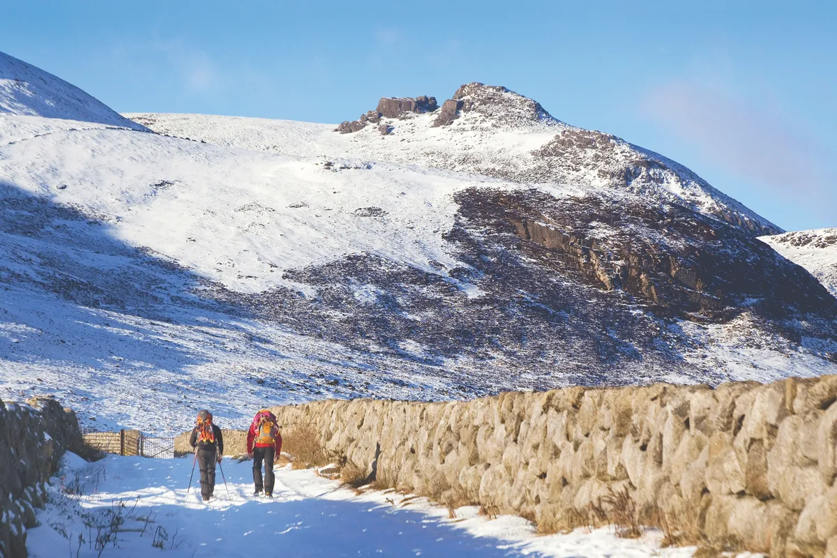
Winter is the most evocative season to scale Northern Ireland’s Mourne Mountains, because winter is when this landscape was created. The entire range owes its form to the scouring movements of vast ice sheets, which only began to melt some 13,000 years ago.
Yet not all the peaks were covered by ice; the very highest summits protruded above the frozen wasteland. Slieve Binnian was one such landmark, and the massive, frost-shattered tors that erupt from its tip were once nunataks, lonely towers of rock that withstood the elements above the icy expanse.
England
Loughrigg Fell, Cumbria
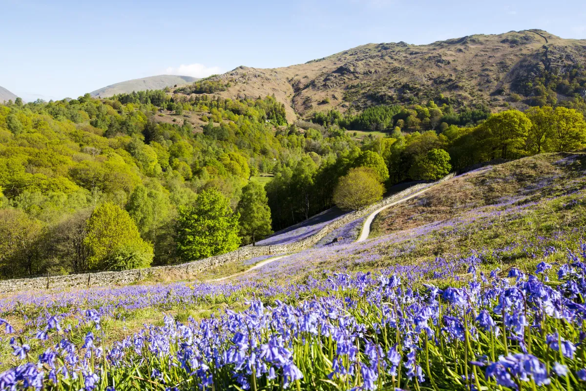
Amid the tall, craggy splendours of the Lake District, it’s from the lower hills that you can sometimes, with surprise, discover the finest views. At 335m in height, Loughrigg Fell doesn’t qualify as a mountain, yet it provides, in miniature, much of what the high peaks offer.
St Martha’s Hill, Surrey
4.6 miles/7.4km | 3 hours | moderate
Genteel Guildford might not seem a location for much wilderness, but St Martha’s Hill offers a chance to feel at one with one of the most spectacular wild landscapes of Britain – the High Weald.
Once a dense and dangerous forest with difficult terrain and treacherous roads, the High Weald was best avoided, which is why pilgrims took the high and dry roadway along the North Downs. Today the Pilgrim’s Way and North Downs Way coincide for only short stretches, and the climb to St Martha’s Hill is one of the best. The tracks are well maintained, so you should avoid a quagmire even on a soggy November day.
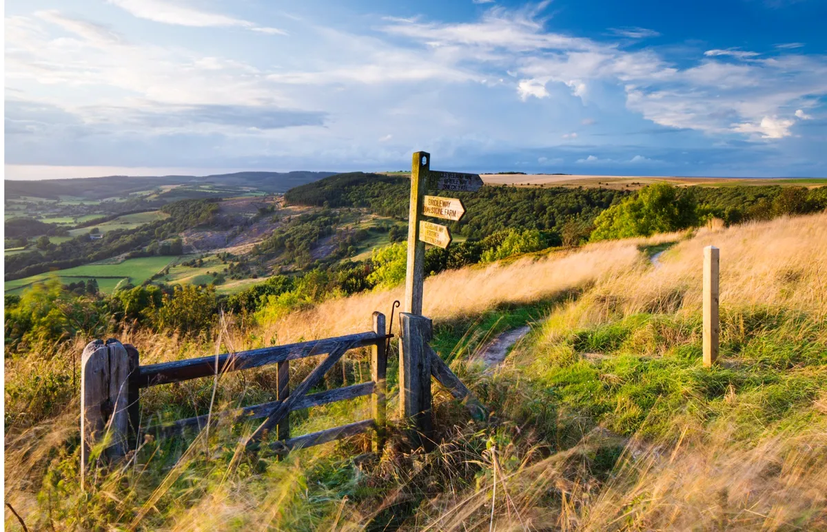
Beddingham Hill, Alciston and Firle Estate, East Sussex
9.5miles/15.3km | 6 hours | moderate
Hike along the chalk footpaths of the South Downs hill tops, passing through woodlands, meadows and rolling fields by following our walking route that covers Beddingham Hill, Alciston and Firle Estate in East Sussex.
Settle to Stainforth, Yorkshire
8.5miles/13.7km | 5 hours | moderate
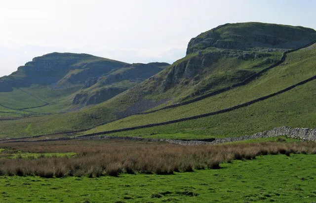
This 8.5-mile circular walking route starts in Settle, venturing beneath Attermire Scar and beyond Catrigg Force to Stainforth, before returning to Settle via Stainforth Force.
Settle Up’ and ‘Settle Down’ proclaim the platform benches as you step off the train at Settle’s lovingly restored station, gateway to the pretty little market town and a landscape rich in gleaming limestone scars, caves and potholes.
Polden Hills, Somerset
12 miles/19.3km | 6–7 hours | moderate
The Polden Hills may be more modest in both height and length, but what they lack in size they more than make up for with a richness of natural beauty. A dedicated footpath runs along the eastern end of the Poldens, following the tops of steep, scarped slopes and the edges of ancient woodland. In June, a wealth of wildflowers and wildlife waits to be found, including the beautiful large blue butterfly.
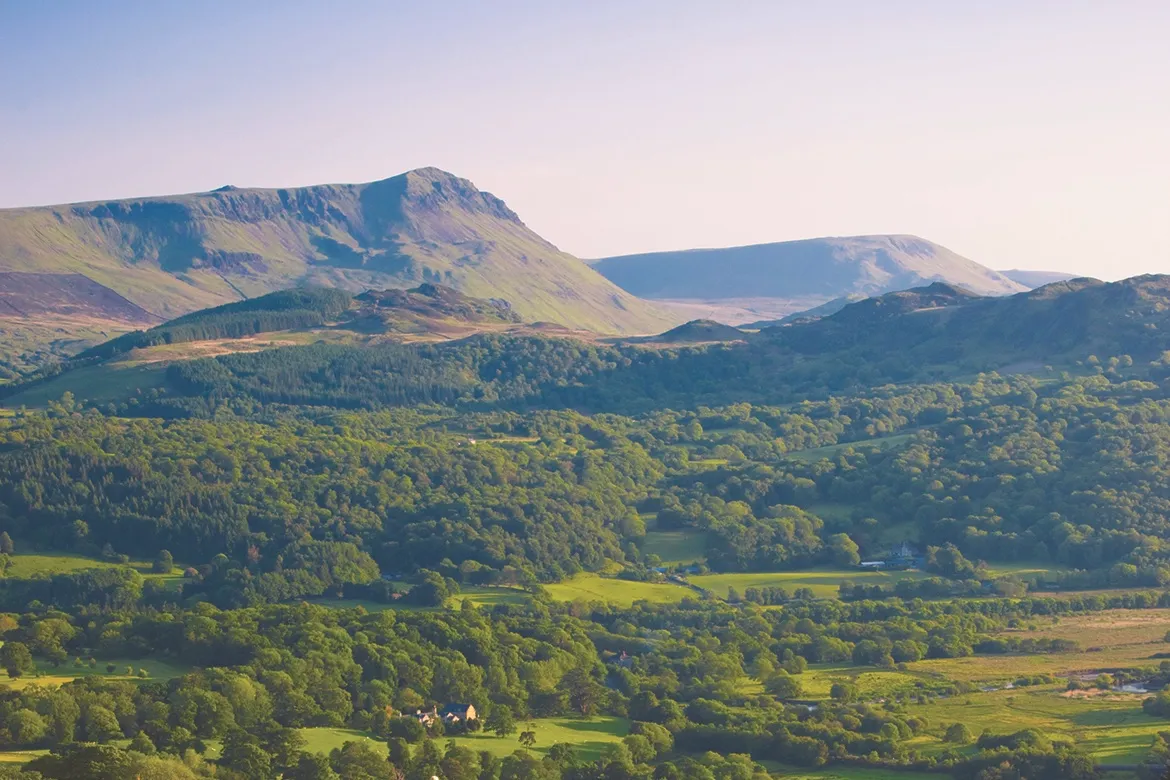
Chrome Hill, Derbyshire
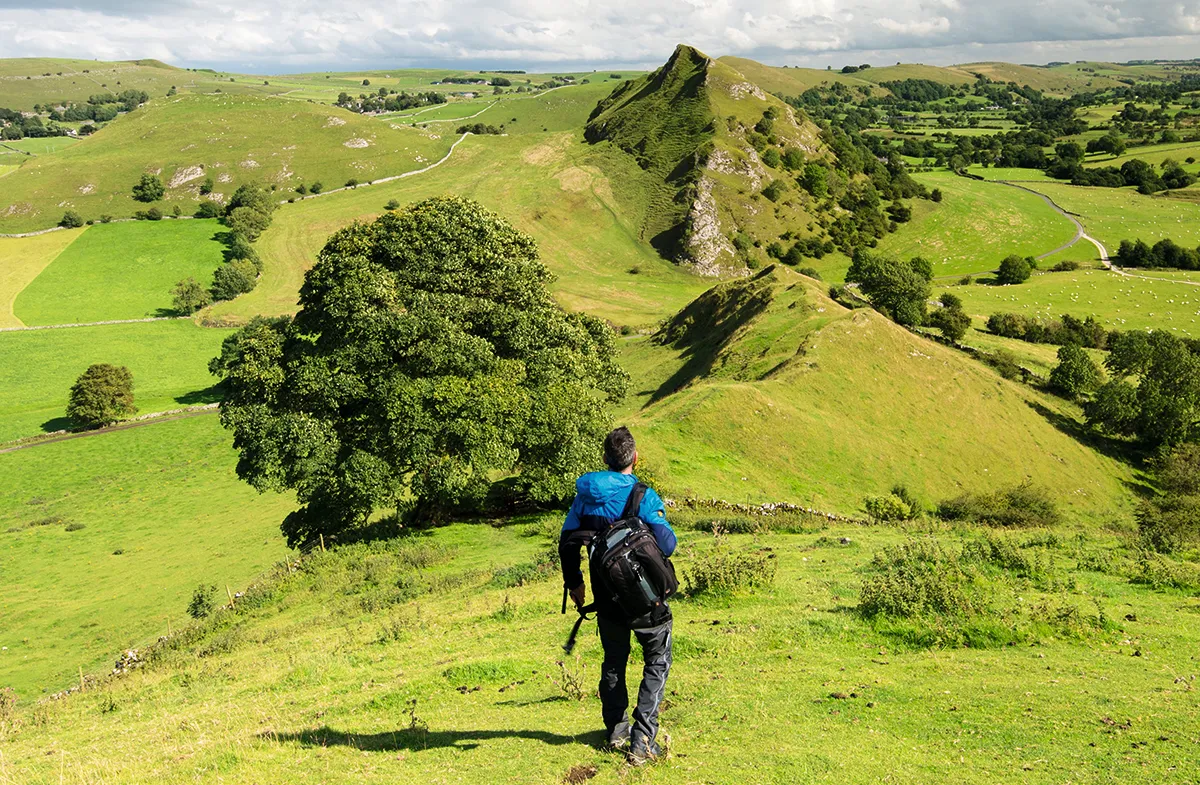
A quirk of geology has produced a strand of sharp limestone hills which erupt like a string of vertiginous miniature mountains from the haymeadows and soft pastures of the higher Dove Valley, near Buxton. The Dragon’s Back range are often cited as the only true peaks in the Peak District; a line of pinnacles said to resemble the ‘plates’ along the spine of a stegosaurus dinosaur.
The walker’s reward is ending up at Earl Sterndale’s pub, the cosy Quiet Woman, a wonderful hark-back to the village pubs of yesteryear.
Caer Caradoc Hill, Shropshire
4.5 miles/7.2km | 3 hours | moderate
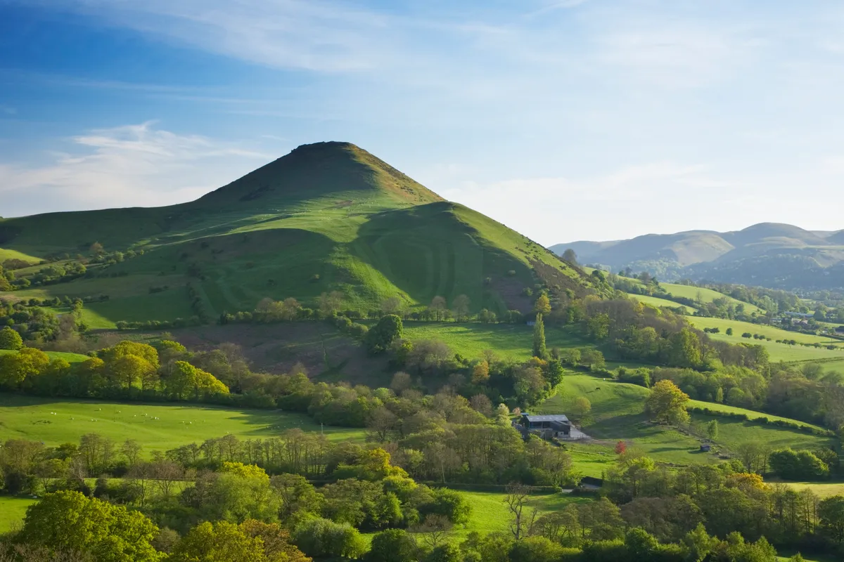
Numerous walking routes emanate from the pretty Shropshire town of Church Stretton, making it a great base from which to explore the surrounding hills and woodlands. This moderate-level ramble takes you from the train station to the summit of Caer Caradoc and its ancient hill fort.
Sutton Bank, North Yorkshire
The North York Moors offer an incredibly varied landscape, from ancient woodland and grassy dales to towering sea cliffs and miles upon miles of richly coloured heather moorland.
This route to Sutton Bank provides walkers with one of the finest views in Yorkshire and a chance to see the national park’s varied scenery from up high on the escarpment edge.
Upper Coquetdale, Northumberland
8.2 miles/13.6km | 5 hours | moderate
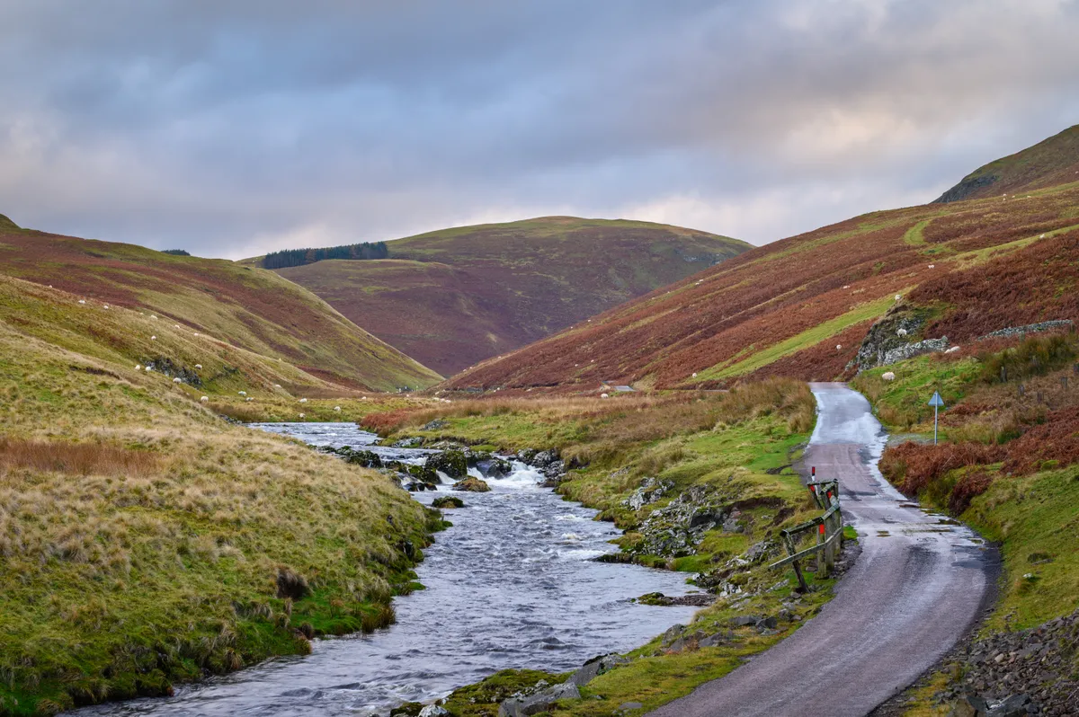
An eight-mile walk over the broad grassy ridgelines, steep-sided valleys and ancient droving routes of Northumberland’s Cheviot Hills.
Venford Reservoir and Bench Tor, Devon
1.7 miles/2.8km | 1-1.5 hours | easy
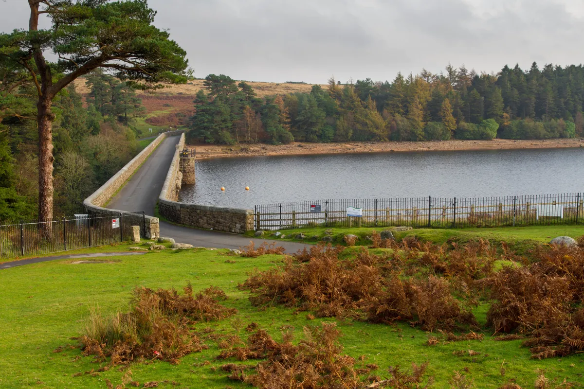
Climb from the placid waters of Venford Reservoir to a grand vista overlooking the hills and valleys of Dartmoor National Park – it’s the perfect place to spread out your picnic blanket before returning via charming waterfalls.
Simonside Hills, Northumberland
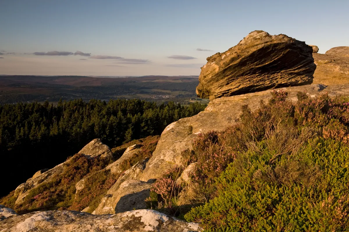
The fell sandstones of the Simonside Hills were deposited from a river delta some 330 million years ago. Weathering and erosion have led to their dominant aspect, which makes them recognisable throughout the county.
Their spiritual significance to the Bronze Age people, 5000 years ago, is evident in the burial tombs and rock carvings that adorn the slopes and summits. The blanket peat bog is an important carbon store and a habitat for plants such as cranberry, bog asphodel, butterwort and cross-leaved heath. It is also home to adders and red grouse.
Walk through conifer forests and across heather moorland to the summits of the most distinctive hills in Northumberland National Park.
Deacon Hill, Pegsdon and Barton Hills, Bedfordshire
7.1 miles/11.5km | 4 hours | moderate
Pegsdon Hills and Hoo Bit Nature Reserve sit above the village of Hexton in the Chiltern Hills AONB. The wildflower meadows that grow on these chalk hillsides are popular with brown argus, green hairstreak, dingy and grizzled butterflies. Wait until after dusk and you may even see glow-worms.
To the west are the steep, well-grazed slopes of Barton Hills National Nature Reserve.
Cat Bells, Cumbria
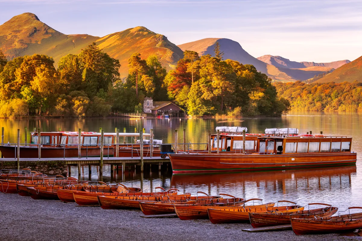
The iconic peak – believed to be a distortion of ‘Cat Bields’, meaning ‘the home of the wild cat’ – sits enticingly above the town of Keswick and Derwent Water. It’s universally loved, and for good reason – the panoramic views of the Lake Districtfrom its summit are the perfect introduction to the national park’s mirror-like lakes, wild mountains and lush valleys.
“It is one of the great favourites, a family fell where grandmothers and infants can climb the heights together, a place beloved,” wrote great lover of the Lakes Alfred Wainwright. “Its popularity is well deserved; its shapely topknott attracts the eye offering a steep but obviously simple scramble.”


