Herefordshire is a quiet, peaceful county characterised by its orchards, its rolling hills and winding rivers, and its pretty towns and villages. Lying to the east of the county are the Malvern Hills, while to the west are the Black Mountains and to the north the Shropshire Hills.
There are many magical walking routes in Herefordshire - here are a few of our favourites.
Best walks in Herefordshire
Whitchurch to Monmouth
7 miles/11.2km | 4 hours | moderate

South of its renowned horseshoe loop and Yat Rock, the Wye surges between looming shoulders of limestone into a magnificent wooded chasm.
The cottage-dotted slopes of Symonds Yat give way to yew, ash, beech and lime woods, cascading from fractured cliffs soaring more than 80m above the river, which is over 10m deep in places. Vast towers of dolomite glisten in the sunshine, contrasting with the verdant broadleaf forest. While above the gorge, reached by steep paths, are fabulous viewpoints and tantalising evidence of our distant forefathers.
This easy one-way walk down the gorge from Whitchurch to Monmouth includes two crossings of the river – by rope ferry and wire-mesh bridge – adding thrill to the ramble. There is ample opportunity for birdwatching, and you may also glimpse an otter or polecat, disturb foraging badgers, spot timid boar or encounter deer browsing downstream where the cliffs give way to meadows.
Whitchurch to Monmouth walking route and map
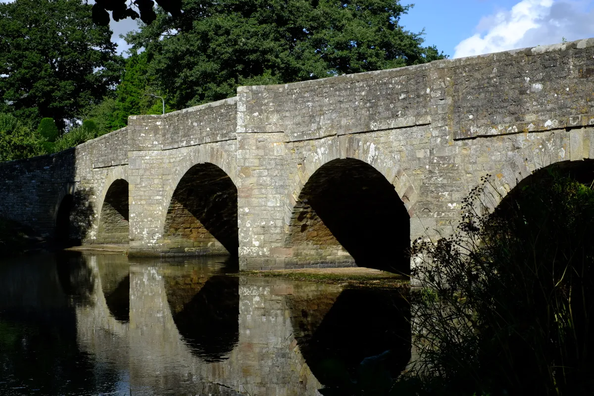
Leintwardine
3.5 miles / 5.5km | 1.5 hours | easy
Imagine gliding along in a gentle backstroke past weeping willows; sand martins swooping overhead catching insects on the wing before disappearing into their holes in the riverbank; children paddling in the shallows and catching minnows in jars. Perhaps even the local coracle maker shimmies past in a freshly made craft, leaving ripples in his wake.
This is a typical scene on a summer’s day on the River Teme in Leintwardine, a lively village close to the Shropshire border in the Welsh Marches that boasts an award-winning fish-and-chip shop and two excellent pubs, The Lion and the Sun Inn.
The deep pool just upstream of the packhorse bridge is a good place to swim. Further upstream are lots of shallow stretches for paddling, fun rapids for riding on with bodyboards, and pebble beaches to lay out your picnic blanket.
If there’s time, you can squeeze in a walk before you dip – an easy 3.5-mile loop that takes in a stretch of the River Clun (which joins the Teme in Leintwardine), sheep pastures and views of the Wigmore Rolls.
Leintwardine walking route and map
Pembridge
4.3 miles/ 7km | 2.5 hours | easy-moderate

Visit this northern part of England’s most prolific cider-making county in January and you might enjoy a wassail. The Leominster Morris is among the groups reviving the tradition in recent years, at annually changing venues. In any case, a stroll around Pembridge and the town’s local orchards is a delight; you could encounter two turtle doves (or at least, their historic home) or a partridge in a pear tree.
Pembridge walking route and map
Mortimer Forest
9 miles/14.5km | 5–6 hours | moderate

Meander quietly through Mortimer Forest, straddling the Shropshire and Herefordshire border, and you might spot one of the rarest sights in the world.
Living within this 1,029-hectare wood, two miles west of Ludlow, is an animal that doesn’t exist anywhere else on the planet: the long-haired fallow deer. Its fur is twice as long as that of its more common cousins – not ‘lockdown locks’ but the result of a gene mutation.
A series of well-signposted waymarked trails makes exploring Mortimer Forest easy. They’re not all wide, stony forest tracks, though. Some are muddy and steep, so appropriate footwear is advisable at this time of year.
High Vinnals is the forest’s highest spot at 375m. Gaze west across the wooded hills of the Welsh Borders towards Radnorshire, look south-east towards the Malvern Hills, and north-east over Ludlow and Titterstone Clee Hill.
The invigorating nine-mile Climbing Jack trail is perfect for exploring the variety of habitats the forest has to offer. It starts at Vinnals Car Park, west of Ludlow, as does the shorter three-mile Vinnals Loop trail, which also summits the highest spot