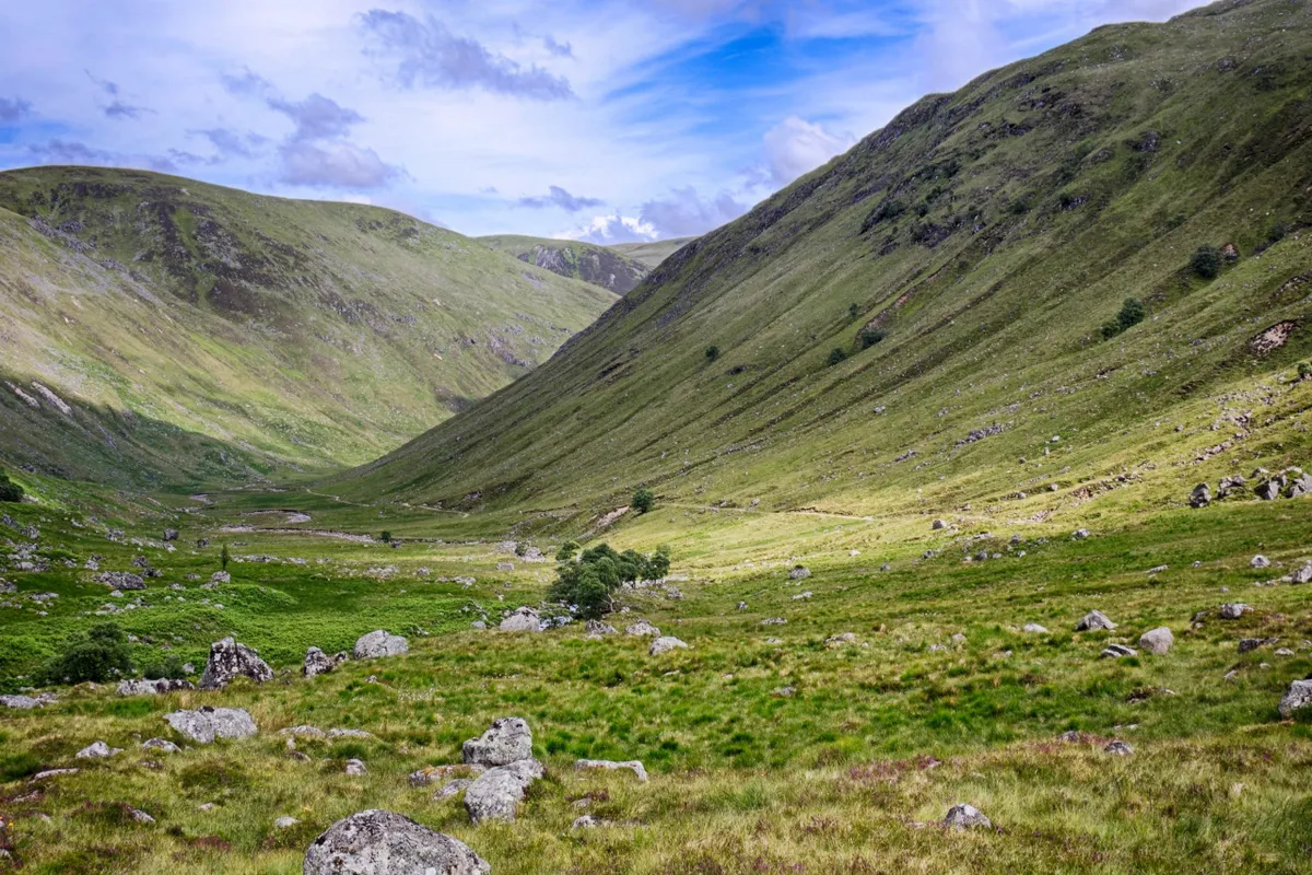
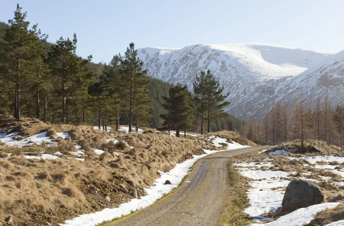
Cattle herders of old would have enlivened this high moorland passage with their shouts and curses as they headed south from Aberdeenshire’s highlands to market in neighbouring Angus.
By the beginning of the 20th century, routes such as Jock’s Road, that links the village of Braemar to Angus, became largely forgotten byways, used by shepherds and few others.
The landscape it crosses runs from the end of Glen Doll, one of five Angus glens that extend north like fingers, above which rises The Mounth, an open upland area that is part of the Grampian mountains.

Path saviour
In the late 19th century, Glen Doll Estate banned people crossing its land. Local man John Winter defied the ban and was backed by the Scottish Rights of Way and Access Society who brought a lawsuit against the estate, eventually lost by the landowner in the House of Lords. The identity of the original Jock who lent his name to the route (also known as the Tolmount) is a mystery.
The full return walk crosses a high, exposed and featureless plateau. Though there is a path, navigation skills are essential in winter and when visibility is bad. A safer and shorter option is to follow the route for 3.5 miles to a mountain shelter, before returning the way you came.
A challenging, 13.8-mile mountain hike through the Cairngorms National Park
13.8 miles/22.2km | 7-8 hours | challenging
1. White Water
From the Forestry and Land Scotland car park at the head of Glen Doll (no fee), take the west-bound path, soon passing a ranger station. Continue in this direction, keeping the White Water river on your left-hand side.
2. Rock theatre
A mile or so from the car park, a path branches off to the huge natural amphitheatre of Corrie Fee National Nature Reserve. Ignore this, staying right. As you leave the pine forest to ascend up and steeply out of Glen Doll, watch for golden eagles circling overhead.

3. Heather haze
The distinct trail leads to a shelter with a red door, called Davy’s Bourach (see box), where a purple fuzz of heather and succulent blaeberries sweep the hills. For anyone opting for the short route, now is a good time to turn around and return to the car park. For the full route, continue on Jock’s Road.
Beyond the shelter, the plateau path becomes less distinct and is very exposed in places as it climbs to a high point of 900m, just below the top of Crow Craigies, before descending to the col at 880m between Tolmount and Knaps of Fafernie.
4. Munros and glens
The Aberdeenshire-Angus boundary is crossed here. Enjoy the wondrous sense of space, with views up the eastern flank of Tolmount (958m). The path drops steeply down the headwall of Glen Callater.
5. Along the loch
Continue along a good path on the east side of Loch Callater, drinking in views from further down the loch to the conical peak Tolmount. From the end of the loch, a landrover track leads from Loch Callater Lodge (a bothy) down the flat glen to Auchallater, 1.9 miles south of Braemar on the A93. Return on the same route or seek a bed in Braemar or the bothy.
Perilous path
Jock’s Road is a superb path but is treacherous in bad weather and best avoided in winter. In 1959, it witnessed tragedy when five experienced walkers were trapped in a storm and perished from hypothermia. One of the searchers, Davie Glen, was so affected by the incident that he built a storm shelter on Jock’s Road, known as Davy’s Bourach.
