Founded in the 1970s by Wilfred Capper, the Ulster Way walking route circled all six counties of Northern Ireland. At 665 miles long, the original route proved awkward to maintain, but the best parts have now been re-packaged into 15 ‘quality sections’, or Waymarked Ways.
Together these provide signed walking routes across many of the best landscapes in the province. If you’d like a taster, the Mourne Way in County Down takes two days to complete and is a great place to start. Like all the routes, the trail is linear, fully signed and predominantly off-road.
The hike starts in Newcastle and finishes in Rostrevor, linking these coastal towns via the north-western foothills of the Mourne Mountains. A combination of woodland trails and mountain paths leads across a succession of wild valleys, reaching a 500m highpoint at the summit of Butter Mountain.

Mourne Way walk
23 miles/37km | 2 days | moderate
1. Ship-maker’s wood
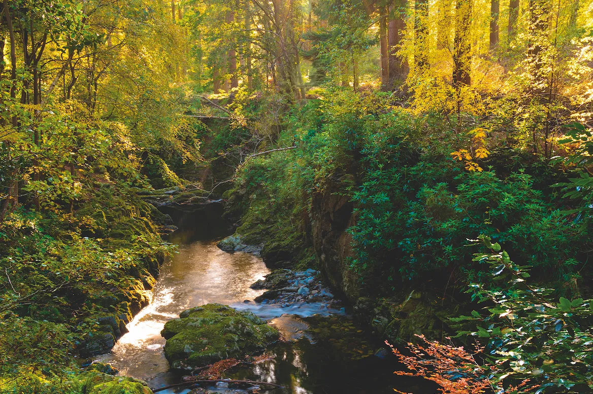
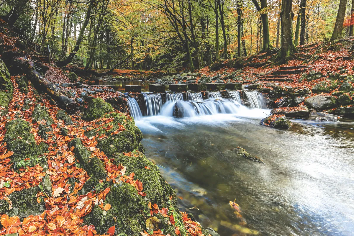
Day one (12 miles, five to seven hours) begins by leaving the seafront promenade in Newcastle and heading inland towards Tollymore Forest Park. This beautiful woodland has rushing rivers and waterfalls, and once contributed oak wood to the ill-fated Titanic.
You may also like:
2. Past the peaks
As you emerge from the trees, the peaks of the high Mournes rear ahead. After a jaunt along the Trassey Track – a former smugglers’ path – you climb around the base of Slieve Meelmore and Slieve Meelbeg. At Fofanny Reservoir there is a choice of routes: an easy road section or an unmarked crossing of Butter Mountain, whose open summit provides fantastic views over the entire Mourne range.

3. Night in the hills
The day finishes at Spelga Pass, beside Spelga Reservoir. Three miles of road now separate you from the closest village of Hilltown. The best advice is to book a local B&B and arrange for collection
and drop-off at Spelga Pass. The Downshire Arms in the village centre offers food, fire and six cosy apartments to choose from.
4. Rocky River Valley
Day two (11 miles, five to six-and-a-half hours) begins along more mountain paths. A stream near the start is actually the nascent River Bann, the longest river in Northern Ireland. Skirt the tor-capped Hen Mountain, then climb through Rocky River Valley and pass over a 330m-high col between Rocky Mountain and Tornamrock.
5. Forest descent
You now begin a gradual descent south-west towards Rostrevor. Part-way along the valley you enter the pines of Rostrevor Forest. Where the foliage allows, there are good views ahead over the coastal inlet of Carlingford Lough. The Cooley Mountains, on the far side of the lough, lie in the Republic of Ireland.
The route’s official end point is Kilbroney Park, a short walk from Rostrevor town centre. A range of accommodation options, pubs and restaurants offer plenty of opportunity to celebrate your achievement, and perhaps consider your next adventure on the Ulster Way.


