Established in 1952, the Pembrokeshire Coast National Park is one of three national parks in Wales.
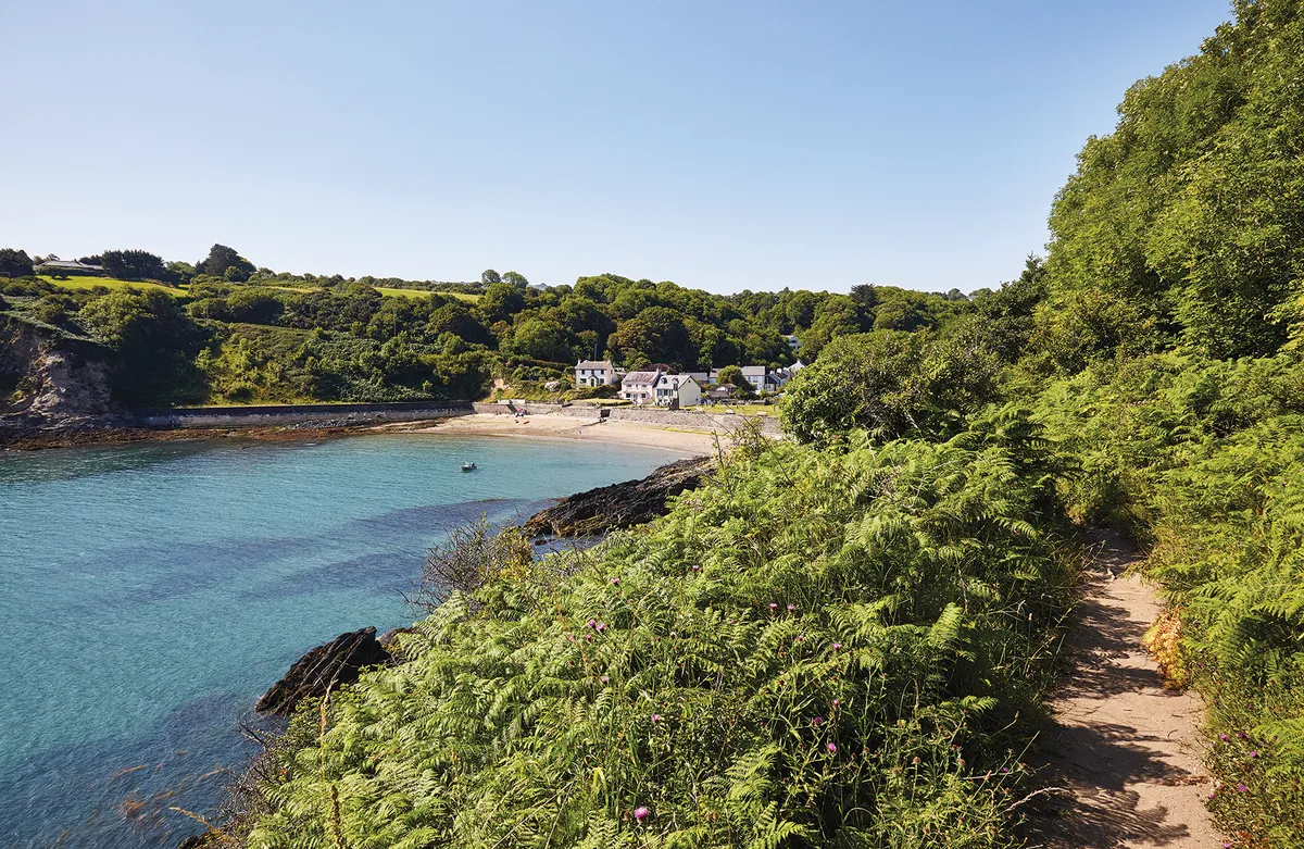
The park, covering 243 sq miles, includes an incredible coastline of natural arches, stacks and sea caves, along with a wealth of sandy beaches and seaside towns – all can be discovered on the Pembrokeshire Coast Path. Away from the coast, the park also includes marshes, inland forests and the rolling Presell Hills.
Explore the extraordinary Pembrokeshire Coast with our favourite walks in the national park. Each route includes walking directions and a map.
Find out more about Britain's national parks
What is a national park, how many national parks are there in the UK, and where is the nearest one to you? Our guide to the UK's 15 spectacular national parks looks at the history of each, how to visit them, the best walking routes, and local wildlife to spot.

Pembrokeshire Coast walks
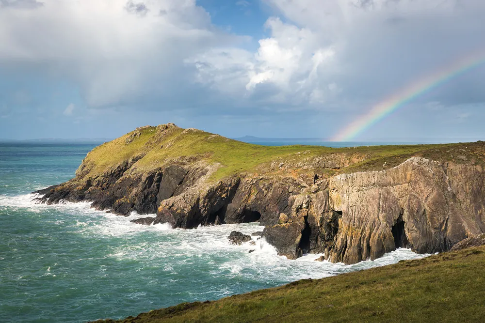
Dinas Head, Pembrokeshire
2.9 miles | 2 hours | moderate
Head to the west coast of Wales to discover Dinas Head’s cosy coves, romantic ruins and a wheelchair-friendly path.

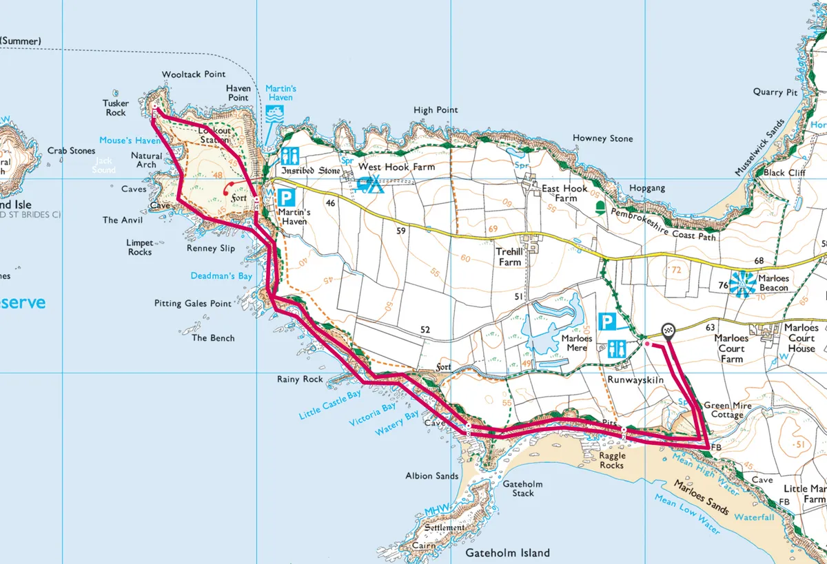
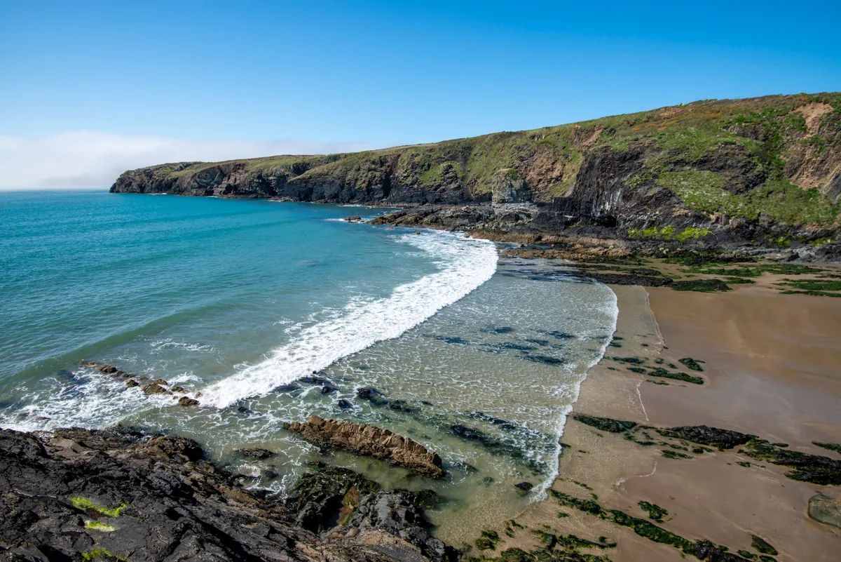
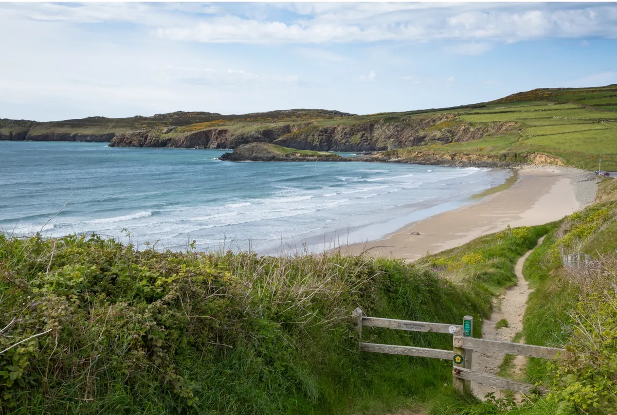
Marloes Peninsula, Pembrokeshire
5.4 miles | 3 hours | moderate
One of the finest stretches on the Pembrokeshire coastline, the Marloes Peninsula takes in a long sandy beach, dramatic rock formations and clifftops of wildflowers.
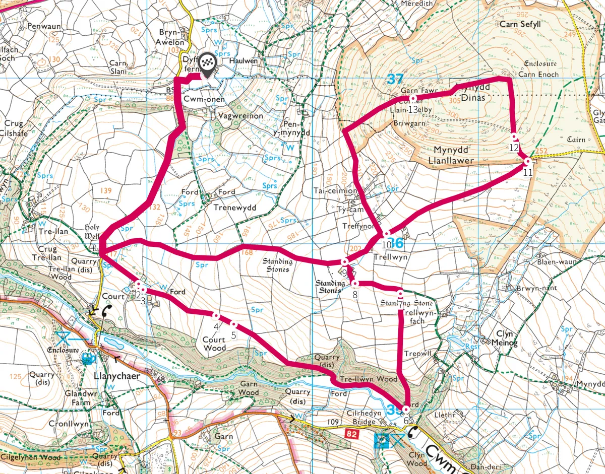
Dyffryn Fernant Garden, Pembrokeshire
5.5 miles | 3 hours | moderate

Few places talk to the landscape quite like Dyffryn – explore these pretty gardens in Pembrokeshire National Park then step into the hills for a seven-mile loop walk.
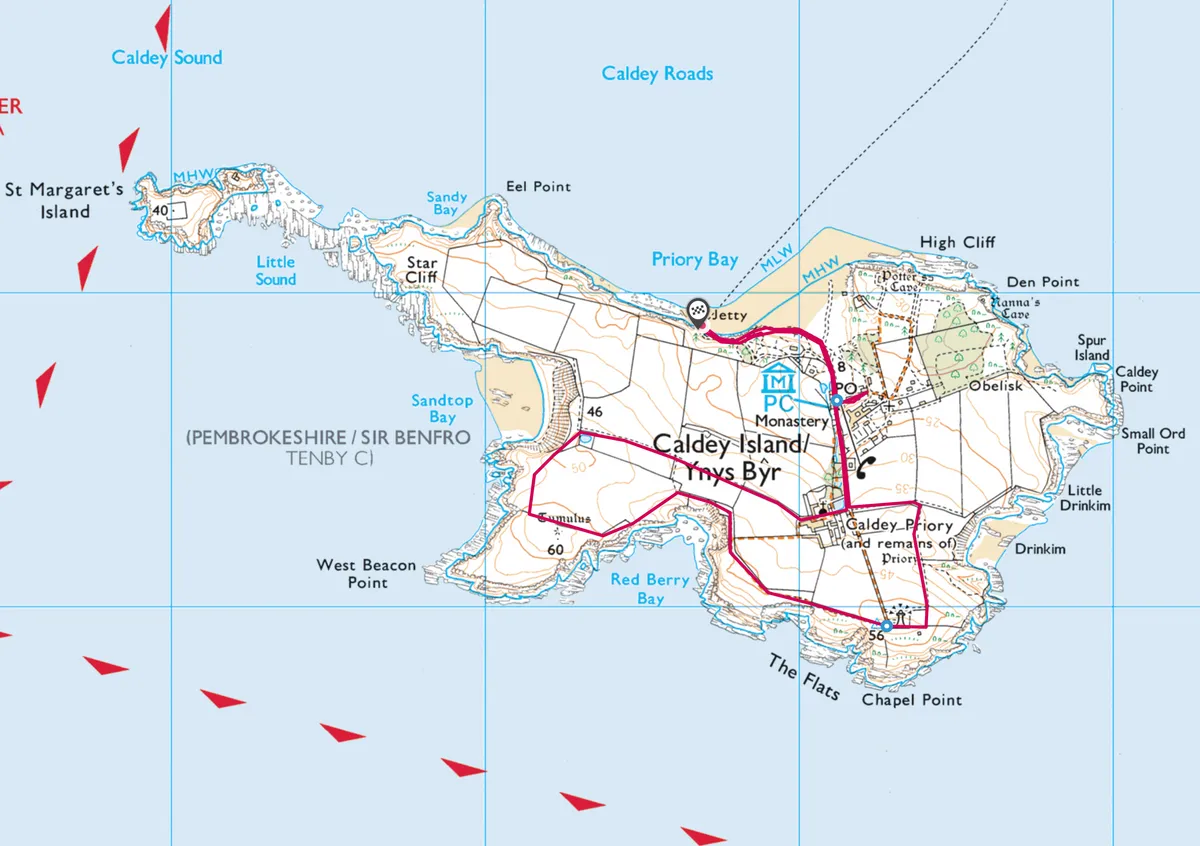
Caldey Island, Pembrokeshire
3.5 miles | 2 hours | easy
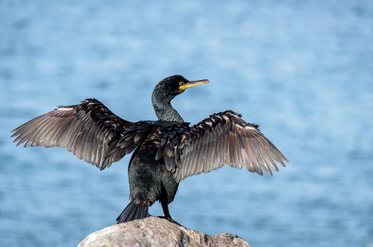
Explore the historic Welsh island of Caldey and its Cistercian abbey, where woodlands resound with birdsong and path verges blush pink in spring with clumps of thrift.
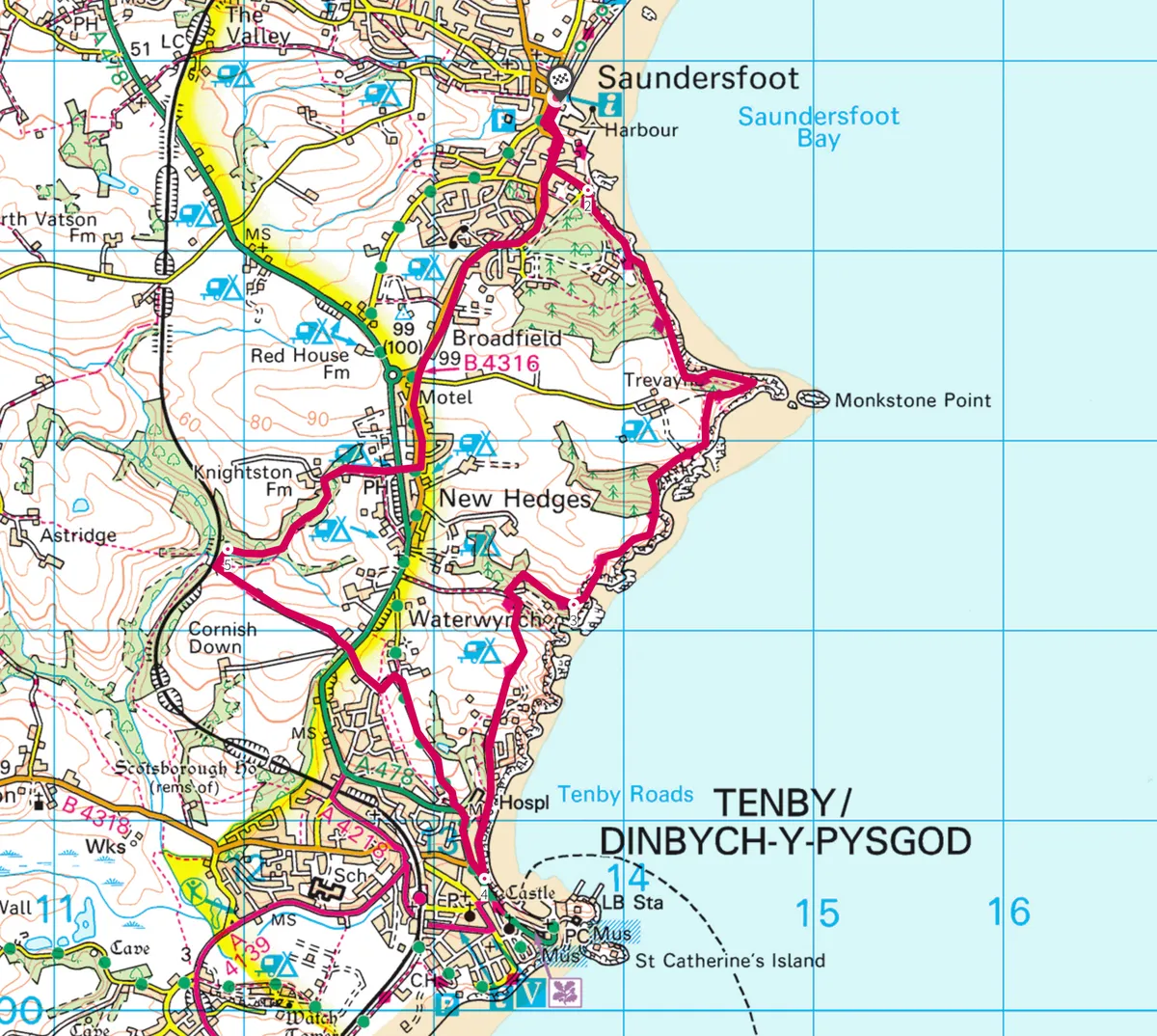
Saundersfoot to Tenby, Pembrokeshire
8 miles | 5 hours | moderate
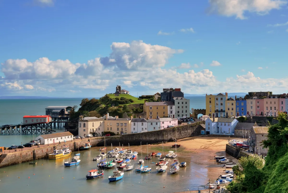
Perched on the western fringes of Carmarthen Bay, the charming seaside towns of Tenby and Saundersfoot are designated conservation areas that offer superb Blue Flag beaches and picturesque harbours. Explore the beaches and seaside towns of south Pembrokeshire's sandy coast with a seven-mile circular walk.
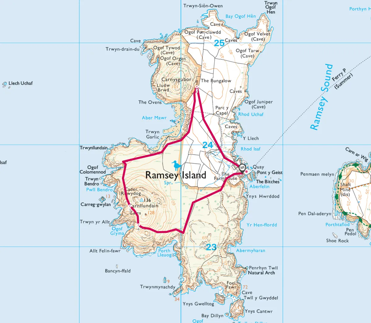
Ramsey Island, Pembrokeshire
2.6 mile | 1.5 hours | easy

Escape to an isolated Welsh island and ramble over a rugged landscape teeming with wildlife.
Preseli Hills, Pembrokeshire
5.8 miles | 4 hours | moderate
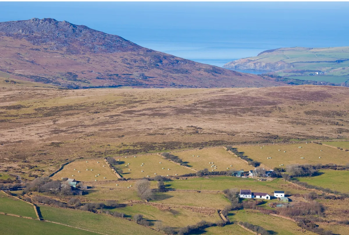
Nordic walking – somewhere between hiking and running – is a great way to explore the British countryside. Try it for yourself with ramble through one of the most captivating prehistoric landscapes in Wales.
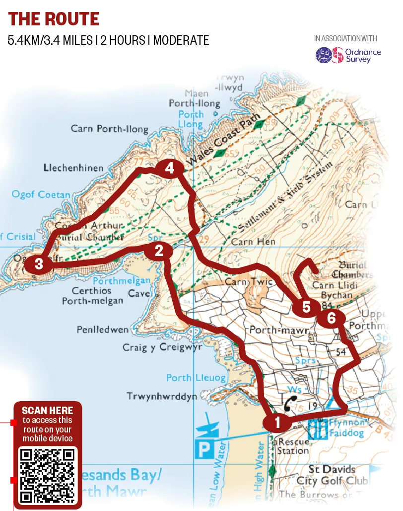
Porthmelgan, Pembrokeshire
3.4 miles | 2 hours | moderate
Sheltered beneath the bulk of St David’s Head and its Iron Age remains is a half-moon of silvery rock and blonde sand known as Porthmelgan – the perfect summer escape.
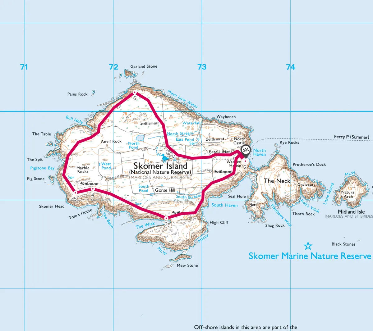
Skomer Island, Pembrokeshire
3.5 miles | 2 hours | moderate

See puffins on one of the most accessible and important seabird colonies in north-west Europe.
St David's Peninsula, Pembrokeshire
9.4 miles | 6 hours | challenging
This superb coastal walk follows the trails of some of the Dark Age saints, for whom the St David's Peninsula was a place of pilgrimage, and passes beside the wild waters of Ramsey Sound.


