According to Ordnance Survey, Great Britain's coastline is 11,073 miles (17,820 km) in length. With so much shoreline to be explored, we're spoilt for choice with places to walk. To help you out a little, we've put together a selection of spectacular walks, from Cornwall and Devon's well-trodden shores to the rocky headlands of northern Scotland.
Our guide to the best coastal walks in the British Isles, including route descriptions, maps and wildlife to spot.
England
St Michael’s Mount, Cornwall
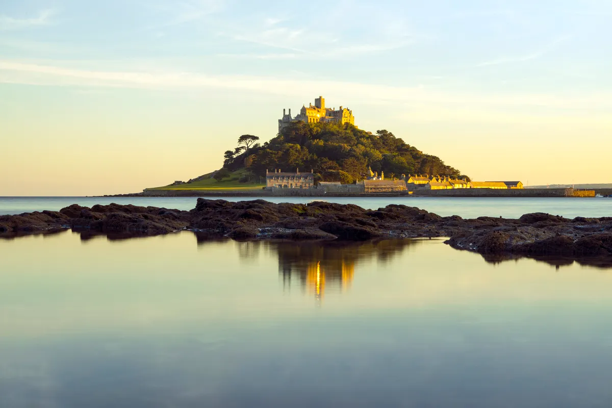
This nine-mile coastal walk begins at Lamorna Cove, winding along the South West Coast Path past the 'prettiest village in England’, the coastal town of Newlyn and bustling Penzance, ending at iconic St Michael’s Mount.
Falmouth to Mylor, Cornwall
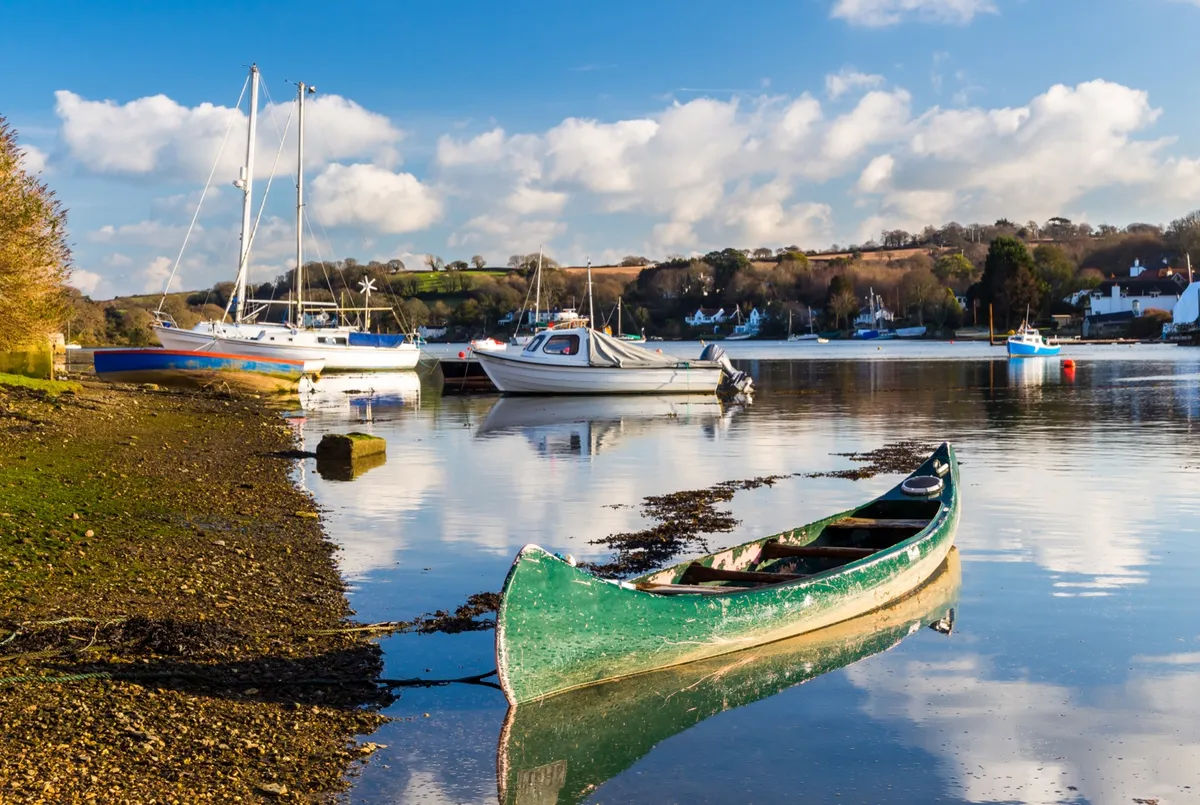
Enjoy clifftop views over the moody English Channel with a short coastal walk before warming up at one of Mylor Yacht Harbour’s eateries.
Mount Edgecumbe and Rame Head, Cornwall
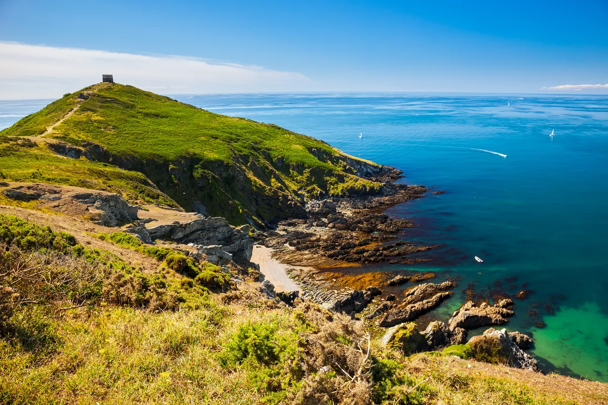
Escape the bustle of Britain’s Ocean City on a centuries-old ferry service to a landscape of quiet coves, birdsong, woodland and charming fishing village.
Valley of Rocks, Devon
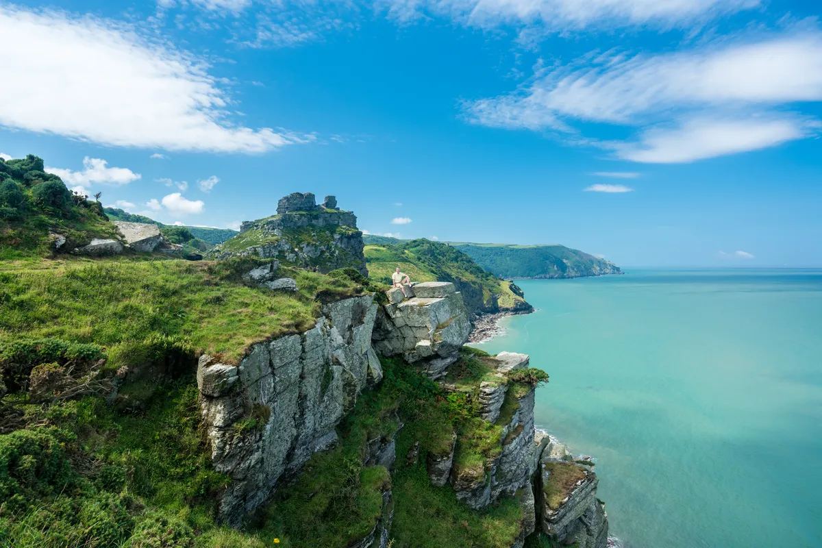
On a quiet day, there’s a lost world feel to North Devon’s enigmatic Valley of Rocks. Here, ancient fossil-rich fingers of Devonian stone form shadow puppets against the sky, framing one of south-west England’s most dramatic views, as Exmoor stampedes off the edge of towering cliffs and down to the churning sea.
Coleton Fishacre, Devon
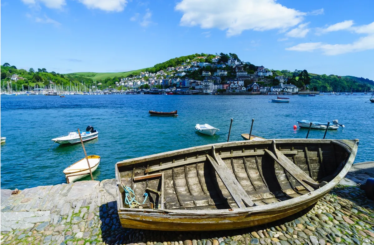
Step off the ferry and take a stroll along Devon’s South West Coast Path to the lush gardens of a 20th-century estate, home to exotic ferns, trickling water features and woodland glades.
Branscombe to Beer, Devon
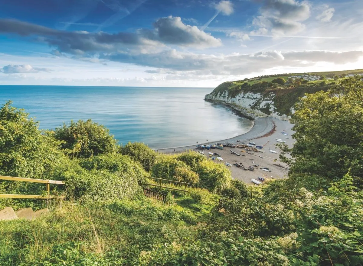
If you’ve built up a thirst walking from Branscombe along Devon’s coastal cliffs and beaches to Beer, then you’re in luck – the tiny seaside village has a handful of traditional pubs, perfect for a well-earned pint.
Lulworth Cove, Durdle Door and Bat’s Head, Dorset
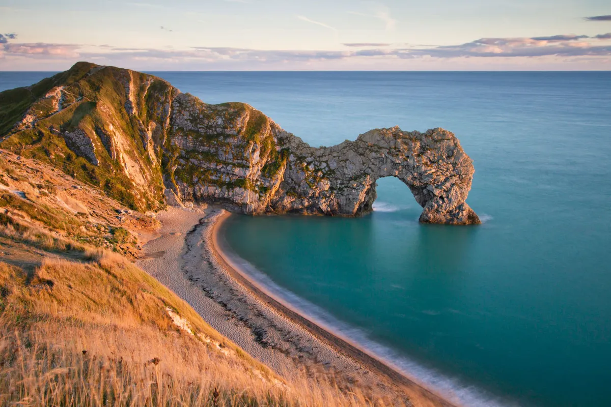
Visit one of England’s most striking natural wonders, then slip away from the crowds and explore the cliffs and coves beyond.
Seven Sisters, East Sussex
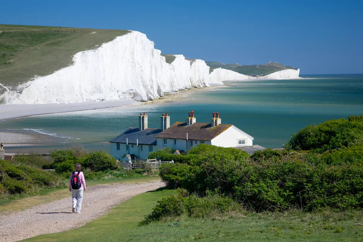
Walk atop the magnificent chalky cliffs of the Seven Sisters in the South Downs, where kittiwakes and fulmars can be seen alongside Brimstone butterflies and flowering cowslips.
Mersea Island, Essex
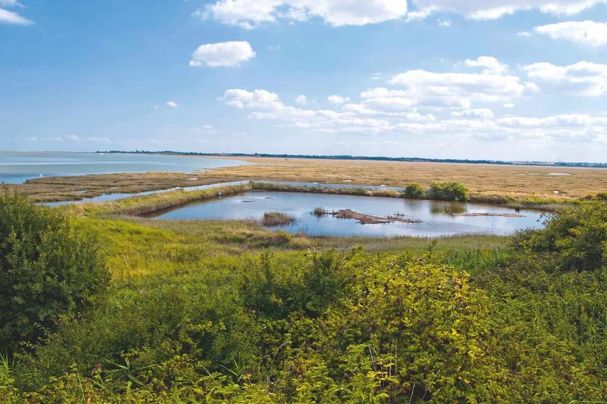
Mersea is a land of two halves: you’ll find restaurants and cafés in West Mersea, offering the oysters and shellfish that the island is famous for, as well as a vineyard selling locally produced wine. While East Mersea is all salt marshes and farmland, fantastic for a stiffly breezy, cobweb-clearing walk.
Holkham Beach, Norfolk
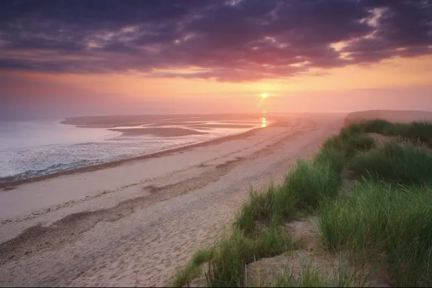
Take a hike through creaking pinewoods, beside wildlife-rich marshes and along one of Britain's most beautiful beaches on the North Norfolk coast.
Robin Hood’s Bay, North Yorkshire
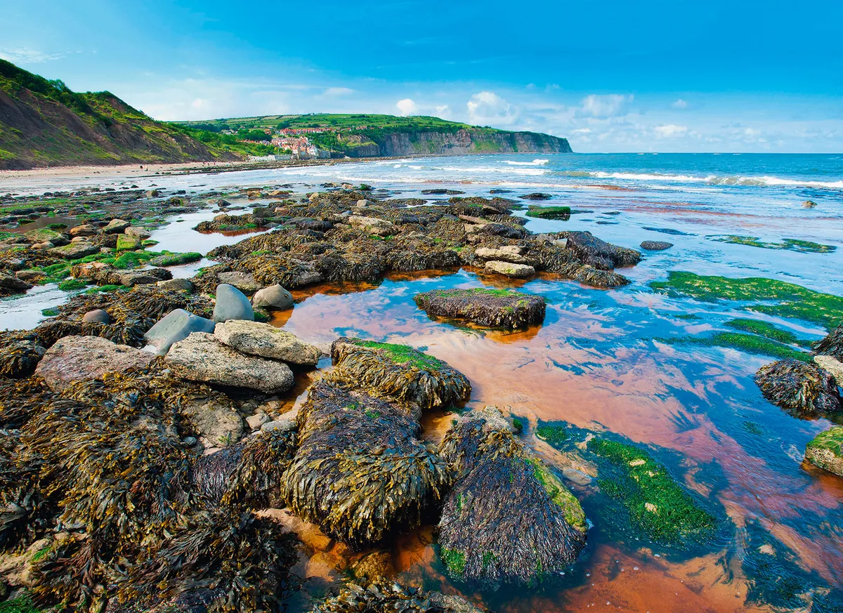
Steep stairwells, pitched roofs, an intriguing past and windy clifftop walks make this village in the North York Moors National Park the perfect starting point for a refreshing coastal walk.
Embleton Bay, Northumberland
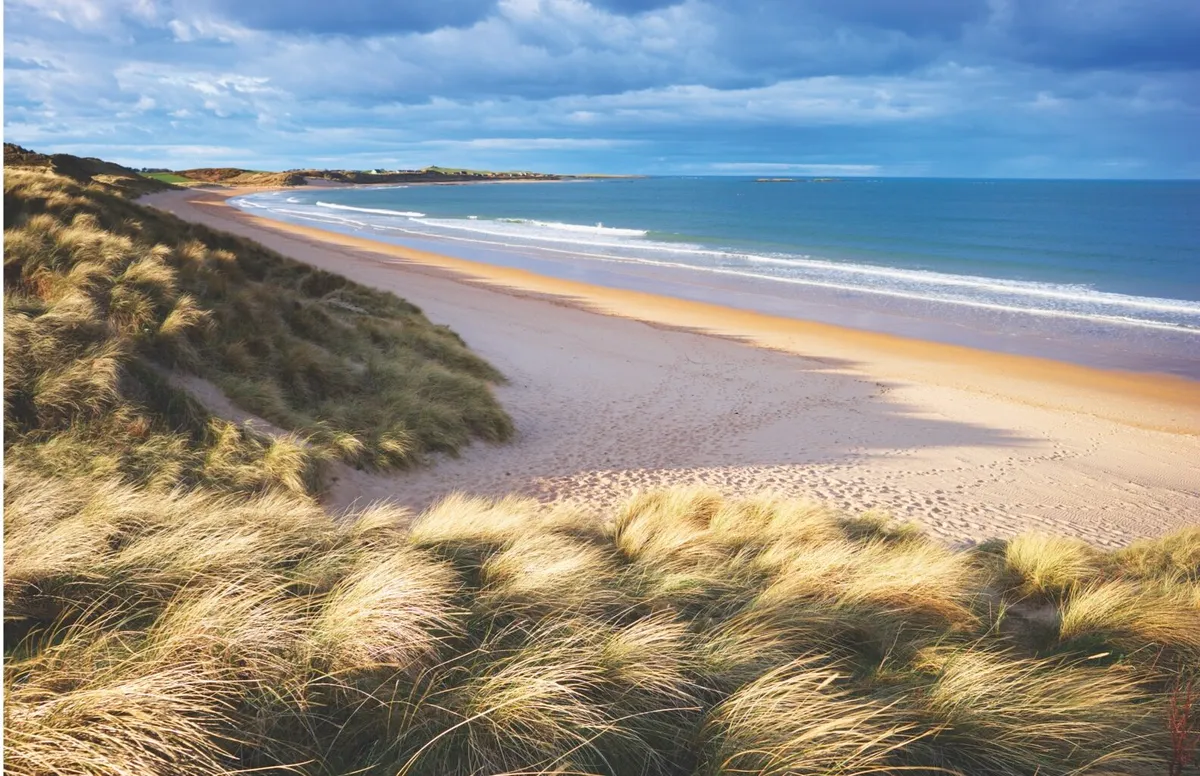
Walk over ruddy-gold sands, across babbling coastal rivers and through wind-shaped dunes to the dramatic ruins of a 14th-century castle – welcome to Embleton Bay, one of Britain's most beautiful beaches.
Hilbre Island, Wirral
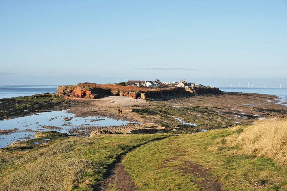
The Dee Estuary is among the top 10 sites in Europe for overwintering wildfowl, such as wigeon, teal and various species of goose. Surrounded by mudflats, marshes and sandbanks, the islands – Little Eye, Little Hilbre and Hilbre – are an important roosting site and rest point for migrating birds.
At low water, the easy walk from West Kirby to the islands, two miles offshore, takes around an hour each way, however it is essential to follow the safest route and timings posted on the Dee Lane slipway noticeboard to avoid quicksand and being cut off by the tide.
Scotland
Handa Island, Sutherland
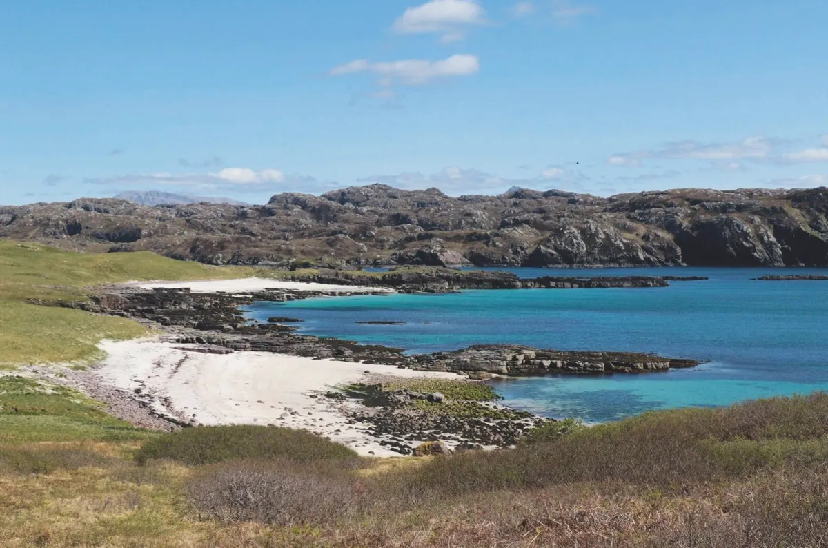
Wrapped by brutish Atlantic swells and biting winds, this remote island off the west coast of Scotland makes for harsh living. But in spring, enduring these forces is one of north-west Europe’s largest seabird colonies.
Ardmeanach, Mull, Inner Hebrides
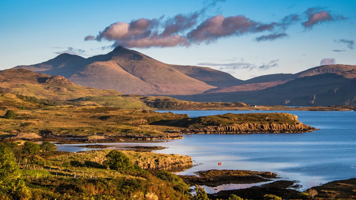
On the western coast of the Scottish island of Mull, beneath the brooding volcanic massif of mighty Ben More, lies one of the wildest environments in the British Isles. A single-track road gives way to a logging track at the hamlet of Tiroran, navigating the southern side of the peninsula along Loch Scridain. The six-mile stretch of headland between here and the sea is known simply as ‘The Wilderness’.
Rockcliffe to Kippford, Dumfries and Galloway
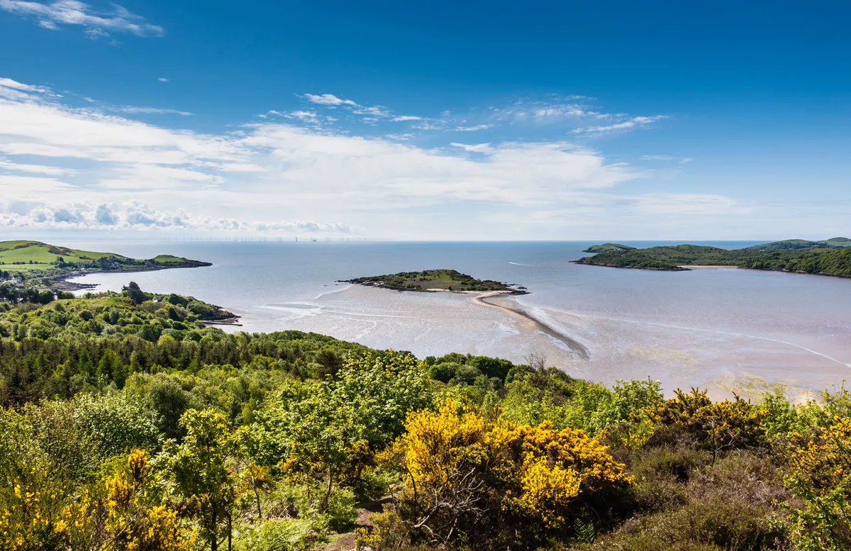
Explore Dumfries and Galloway’s blooming Rough Firth, a Scottish inlet dotted with tidal islands, gorse-clad hills and woodlands in this four-mile walk.
Wales
South Stack, Anglesey
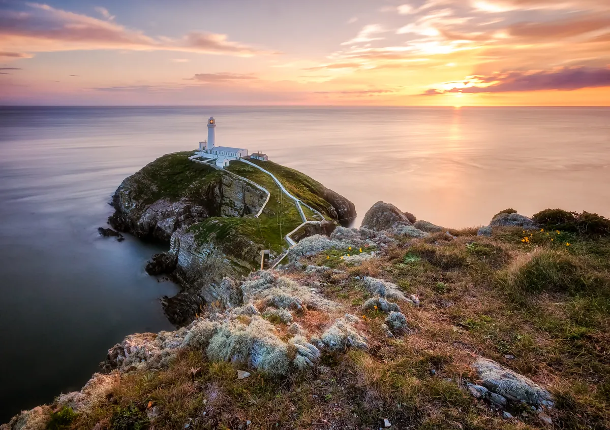
Take to the cliffs of north-west Wales, a dramatic coastline where great northern divers surf wild waves and Arctic skuas bravely soar.
The route
- 8.2km / 5 miles
- 3 miles
- Moderate
Route and map
Ramsey Island, Pembrokeshire
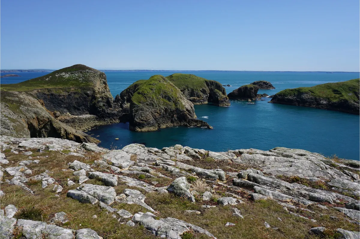
St. Justinian the hermit sought sanctuary on Ramsey Island in the 6th Century and, if it’s peaceful solitude you’re searching for, then this secluded outcrop is still the perfect place for a day’s retreat.
Skomer, Pembrokeshire
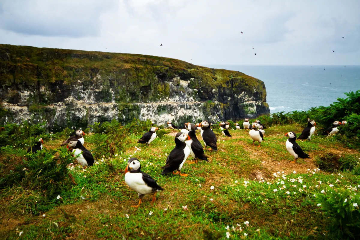
A protected National Nature Reserve since 1959, Skomer Island is one of the most important wildlife sites in Europe. In one day you can see puffins, grey seals, rare wild flowers, stunning views and much more.
Marloes Peninsula, Pembrokeshire
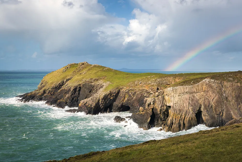
One of the finest stretches on the Pembrokeshire coastline, the Marloes Peninsula takes in a long sandy beach, dramatic rock formations and clifftops of wildflowers. Charismatic choughs whirl through the air, kestrels hover and, out at sea, grey seals and porpoises play alongside diving gannets.
Tenby, Pembrokeshire
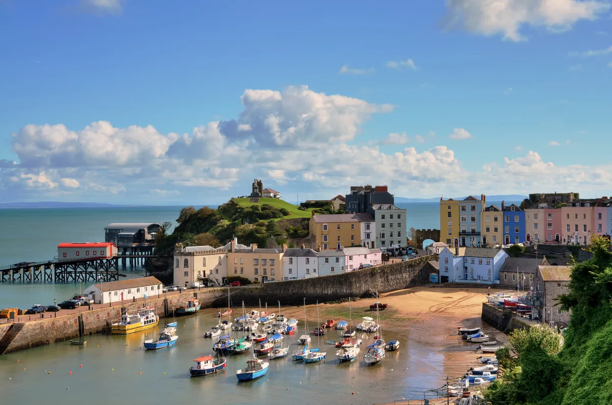
Perched on the western fringes of Carmarthen Bay, the charming seaside towns of Tenby and Saundersfoot are designated conservation areas that offer superb Blue Flag beaches and picturesque harbours. Take a hike along the coast and then return inland with our 8 mile walking route.
Cwm Nash and Traeth Mawr, Glamorgan
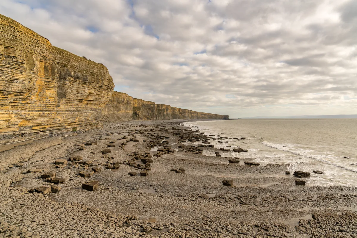
The Glamorgan Coast is just a short drive from the largest city in Wales, yet despite its proximity to the urban world, few landscapes exude such a profound sense of wilderness.
Northern Ireland
The Causeway Coast, County Antrim
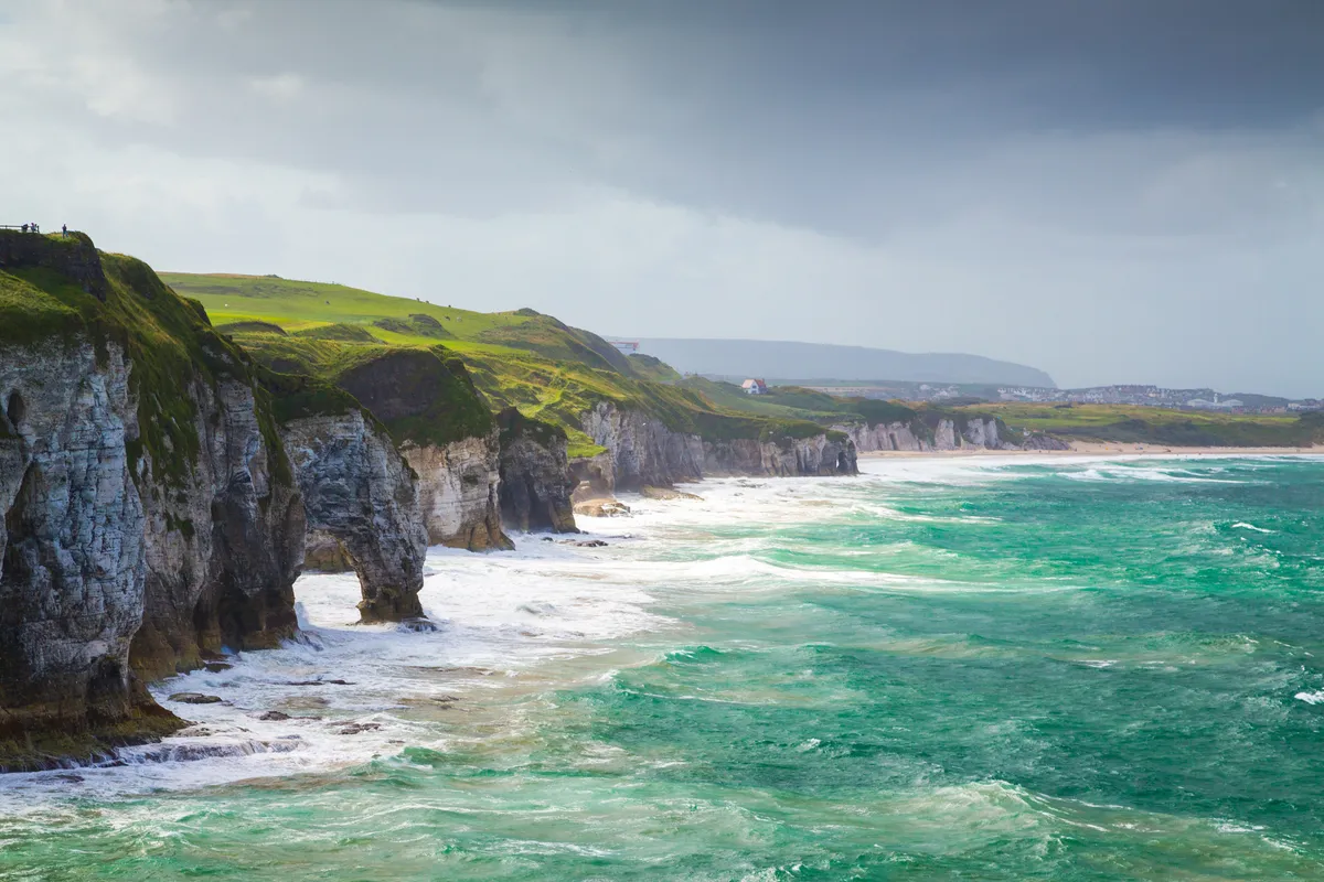
The undeniably impressive Giant’s Causeway is Northern Ireland’s most popular tourist attraction. But step off the beaten track and you’ll be able to marvel at this coast’s geology, myths and breathtaking views in virtual solitude
Carrick-a-Rede, County Antrim
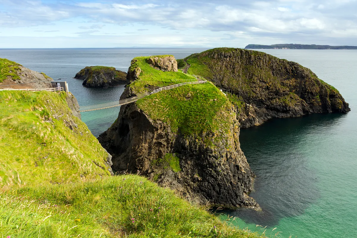
Step across a swinging rope bridge high above the Atlantic and on to a rocky offshore island, once a salmon fishery. In spring and summer, the walk down to the beach offers visitors the chance to see a range of unique flora and fauna – don’t forget your camera
The route
- 1.4 miles
- 1 hour
- Easy/moderate
