Map reading gives you the freedom to explore the countryside safely and is an essential skill for any keen hillwalker as web-based mapping tools can't always be relied on in the wild when signal or services may be limited.
National Map Reading Week takes place from 5th-11th July in 2021 and is the ideal time to brush up on your map-reading skills.
How to get started
Why not start by taking the Ordnance Survey Map Reading Quiz, to test your current skills? On the Ordnance Survey website you'll also find video tutorials from adventurer Steve Backshall and free downloadable map reading leaflets: Map reading - beginners to advanced for adults or teenagers and Map reading made easy for children.
Online maps
Online maps are a great addition to traditional map-reading skills, and in 2012 Google Maps mapped all the UK's rivers and canals, so that users can incorporate waterways into their countryside journey plans. The aim was to get more people using waterways – our third largest listed structure – whether actually boating, or walking and cycling alongside a stretch of river or canal.
But what are the other options for mapping out journeys through the countryside? Search engine Bing offers an online Ordnance Survey option, which, with detailed information following keys and grids, includes roads, farms, woodlands – and waterways.
Other options include walkit.com which describes itself as an urban walking route planner, and packed full of options for logging journey time, calorie burn, carbon-saving and even the number of steps taken. Although geared towards cities, it includes canals as part of its routes.
Viewranger and Komoot are two other useful mapping tools which have excellent apps that help you track and plot your walking, cycling or running routes.
Meanwhile, Open Street Map works on similar lines to Wikipedia - users contribute help to build up the map of an area, so that features information on restaurants and attractions, as well as green spaces, roads, railways and rivers.
Best walking routes in Britain
Discover a variety of trails and plan walks in England, Wales, Scotland and Northern Ireland with our pick of the best hiking routes in the UK for all abilities, each with a plotted OS map.
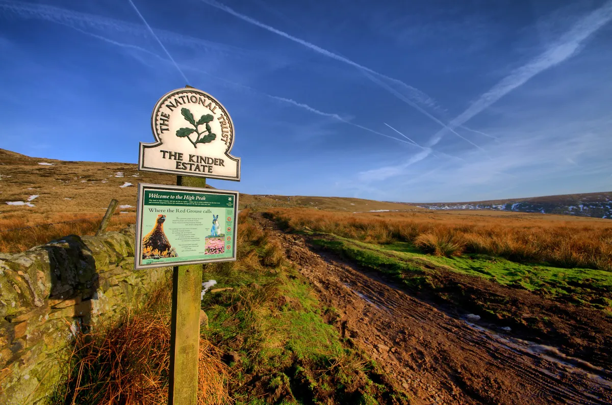
Best walks in England

The English countryside is a place of diversity, from the towering coastal cliffs of Exmoor and Dartmoor’s ancient woodland to the delightful dales of Yorkshire and the the wild waters of the Lake District.
Discover these landscapes on foot with our list of England’s most beautiful walks. Each route has its own walker’s guide, comprising a map, path directions and more.
View walking routes in England
Best walks in Wales

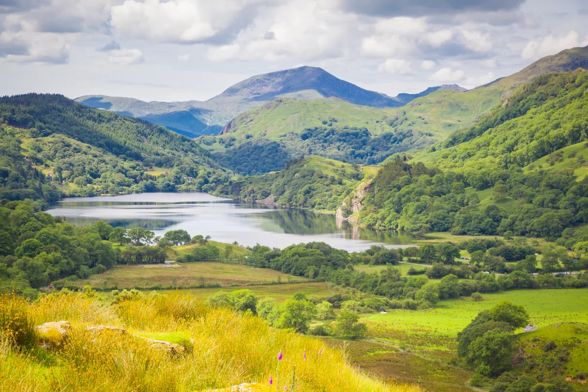
There are just over three million people living in Wales, offering plenty of opportunities to discover your own quiet corner of the countryside. Running the entire length of the country’s coastline is an 870-mile footpath, while several more long-distance trails allow you to explore the hills, mountains and riverbanks further inland.
We’ve gathered 30 of our favourite Welsh hikes, from the sandy beaches and coastal cliffs of Pembrokeshire to the mountains and lakes of Snowdonia and the Brecon Beacons. It’s time to strap on your boots and get walking!
Best walks in Scotland

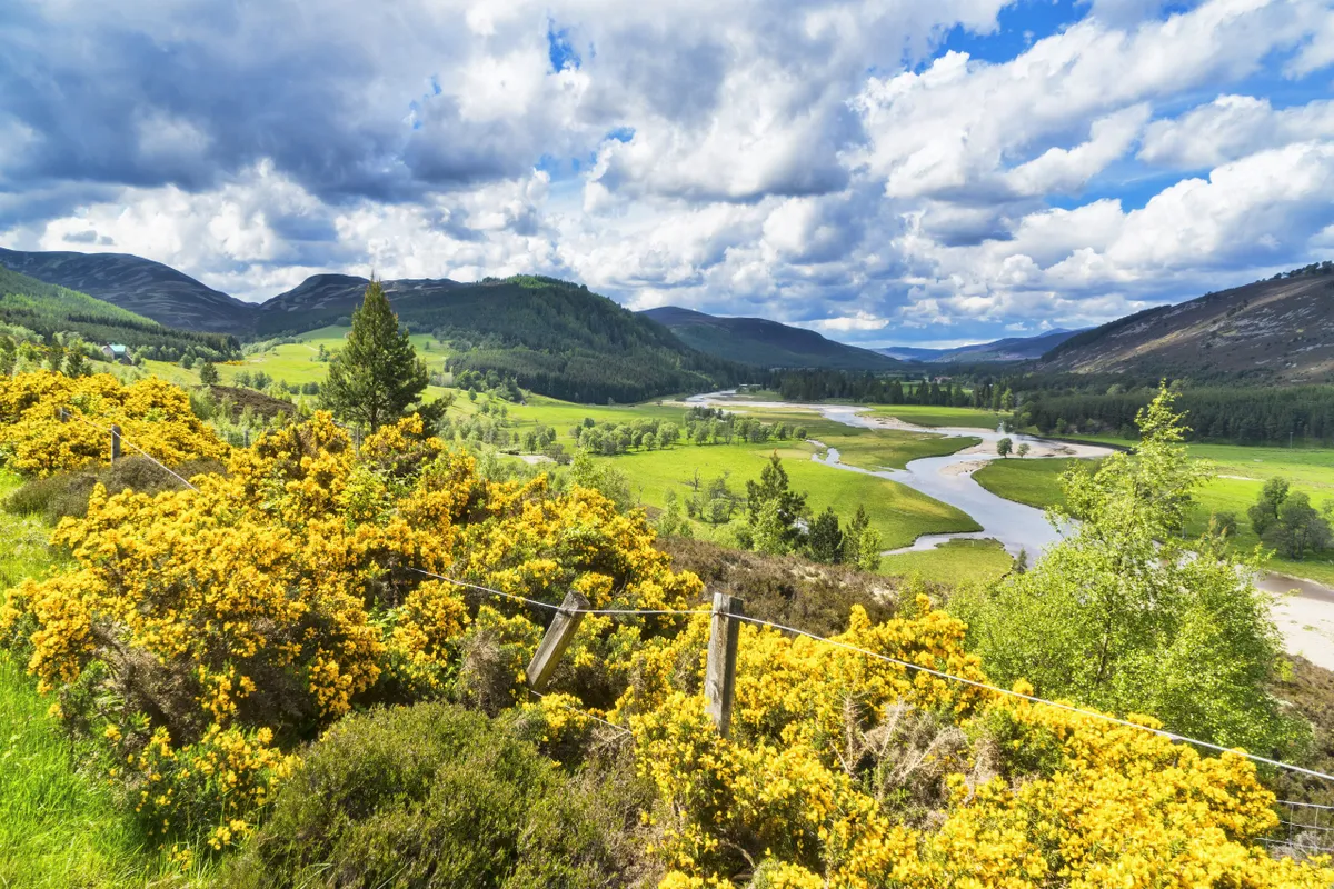
Scotland is a walker’s paradise. One day you could be hiking in the Scottish Highlands, the next walking along the white sands of a remote beach.
There is also a more unassuming side to Scotland’s trails, with quiet valleys and accessible foothills, making it the perfect walking retreat for all abilities and families.
Here is our pick of the best day walks and hiking routes in Scotland, including the Scottish Borders, Highlands and Scottish Isles.
Best walks in Northern Ireland

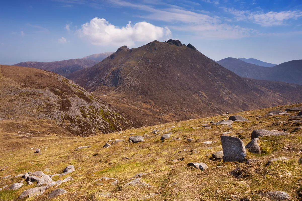
Northern Ireland contains just 1.8m people – roughly a fifth of London’s population. Indeed, the density of humans is so low that it can often feel as though you have the countryside to yourself; each path your own, save the scuttle of a red squirrel or the chirrup of a songbird.
With hundreds of miles of dramatic coastline, wild hills and mountains, magical forests and numerous beautiful rivers and lakes, Northern Ireland is a walker’s paradise. We’ve put together a selection of the best walks in Northern Ireland, including route distance, duration and difficulty, as well as walking directions and maps.

