This April marks the 70 years since the National Parks and Access to the Countryside Act 1949 was passed in Britain. Since then, 15 National Parks have been created in the UK, the most recent of which, the South Downs, was established in 2010.
To mark the 70th anniversary, Ordnance Survey (OS) Maps have put together a set of images to illustrate the diverse landscapes of Britain's National Parks.
How big are Britain's National Parks?
Britain's National Parks cover a combined area of 23,138 km2 – that’s 10% of Britain's land and an area a little larger than Wales. There are two in Scotland, three in Wales and ten in England, making them accessible to many of us, no matter where we live. And with an astounding 61,000 km of footpaths weaving through the parks, you’ll never be short of places to explore.
Which is the largest National Park in the UK?
Unsurprisingly, the Pembrokeshire Coast boasts the longest coastline at 418 km, while just six of the parks have no coastline at all: Brecon Beacons, Cairngorms, Dartmoor, Northumberland, Peak District and Yorkshire Dales.
The largest parks are the Cairngorms (4528 km2), Lake District (2362 km2) and Yorkshire Dales (2179 km2). The most densely populated parks are the South Downs, New Forest and Pembrokeshire Coast. And the most footpaths are found in the Lake District (7,189 km), Cairngorms (7,028 km) and South Downs (6,468 km).

Events to celebrate National Parks
Discover National Parks fortnight, runs from 6-21 April 2019, is a celebration of the many opportunities available to get outside and explore the ancient forests, secret coves and rocky mountains of our national parks. This year, ahead of the festival – and to commemorate the 70th anniversary of the National Parks and Access to the Countryside Act 1949 – OS Maps have put together a poster to illustrate what our parks look like, side by side.
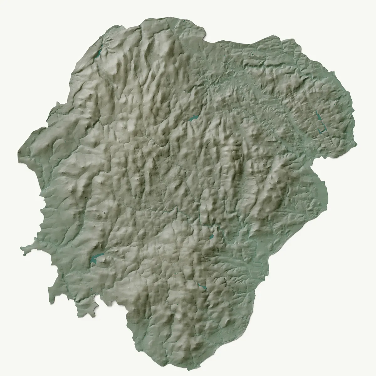
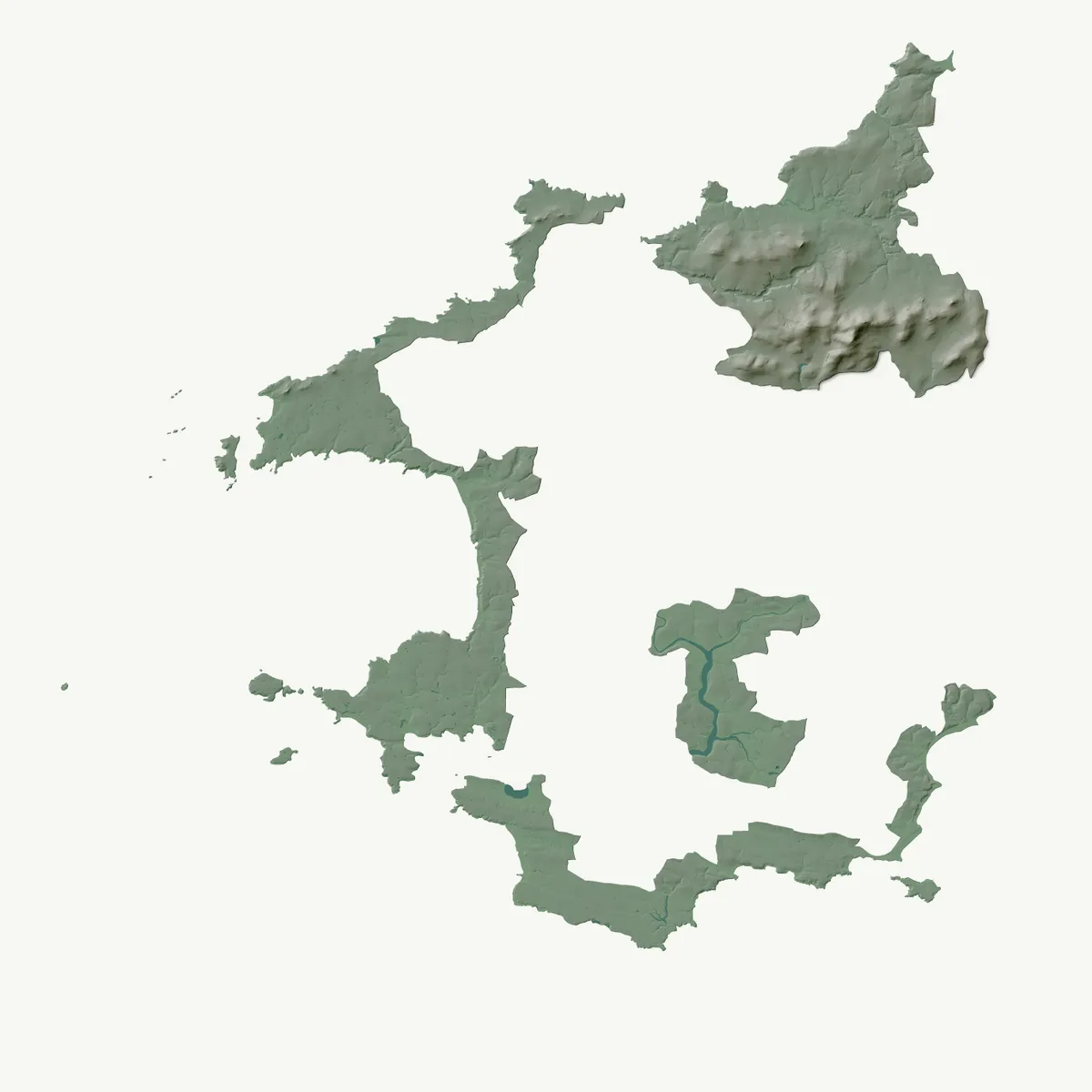
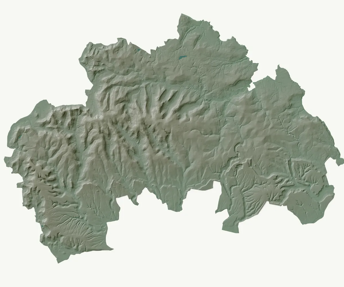
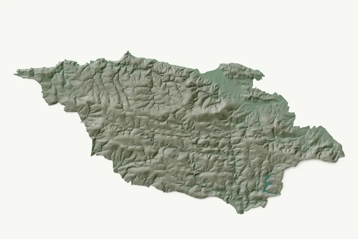
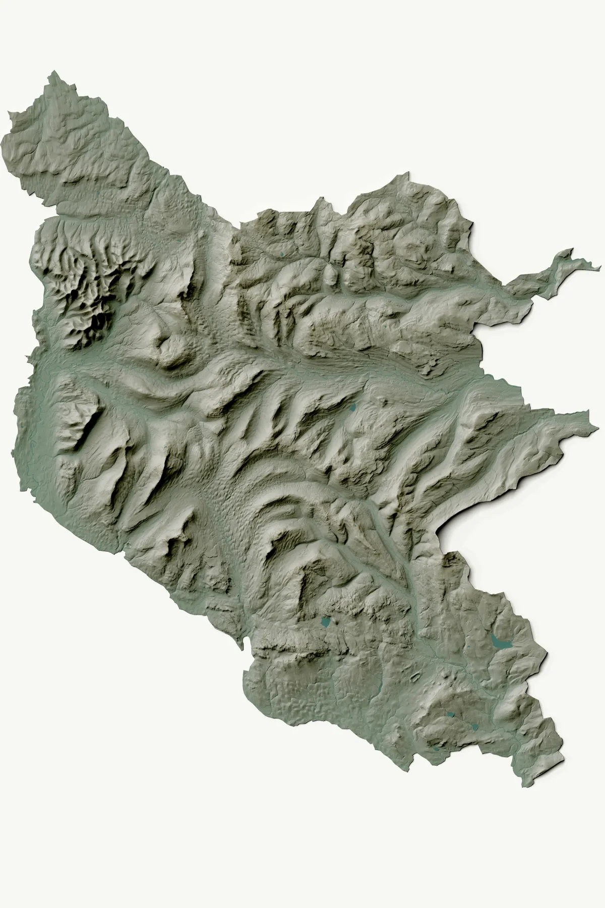
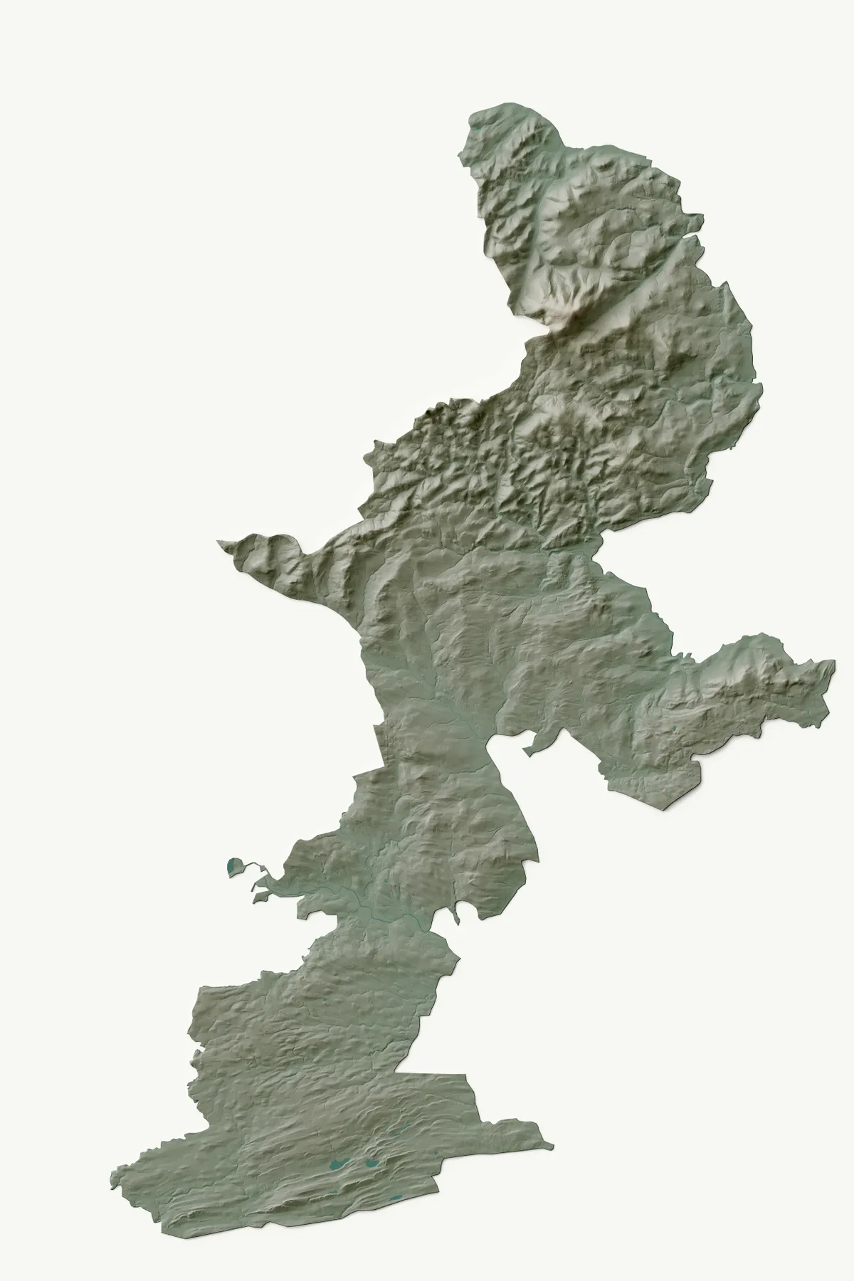
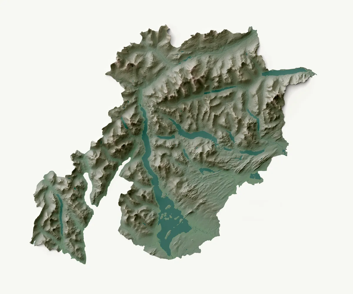
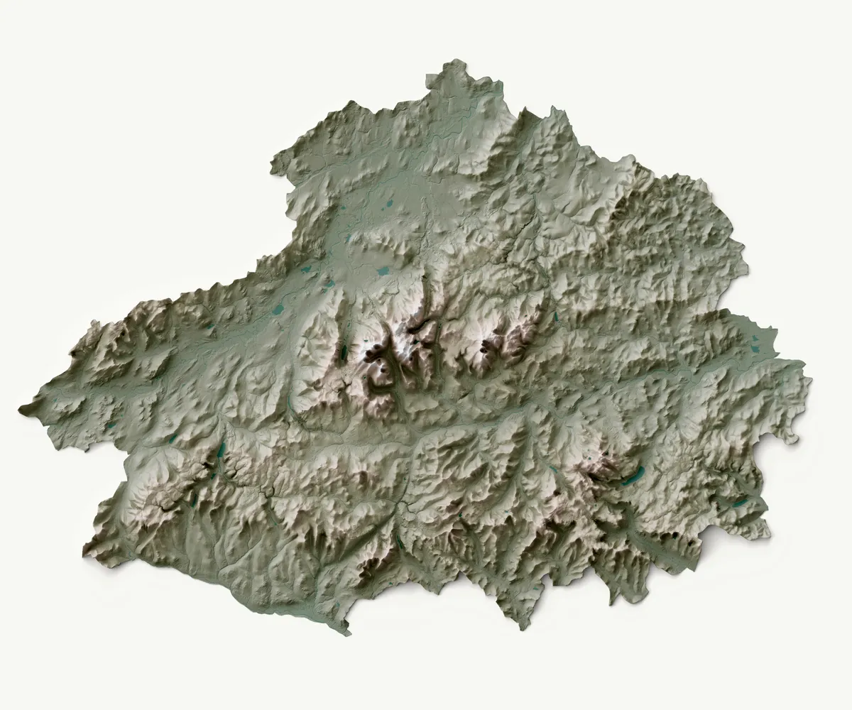
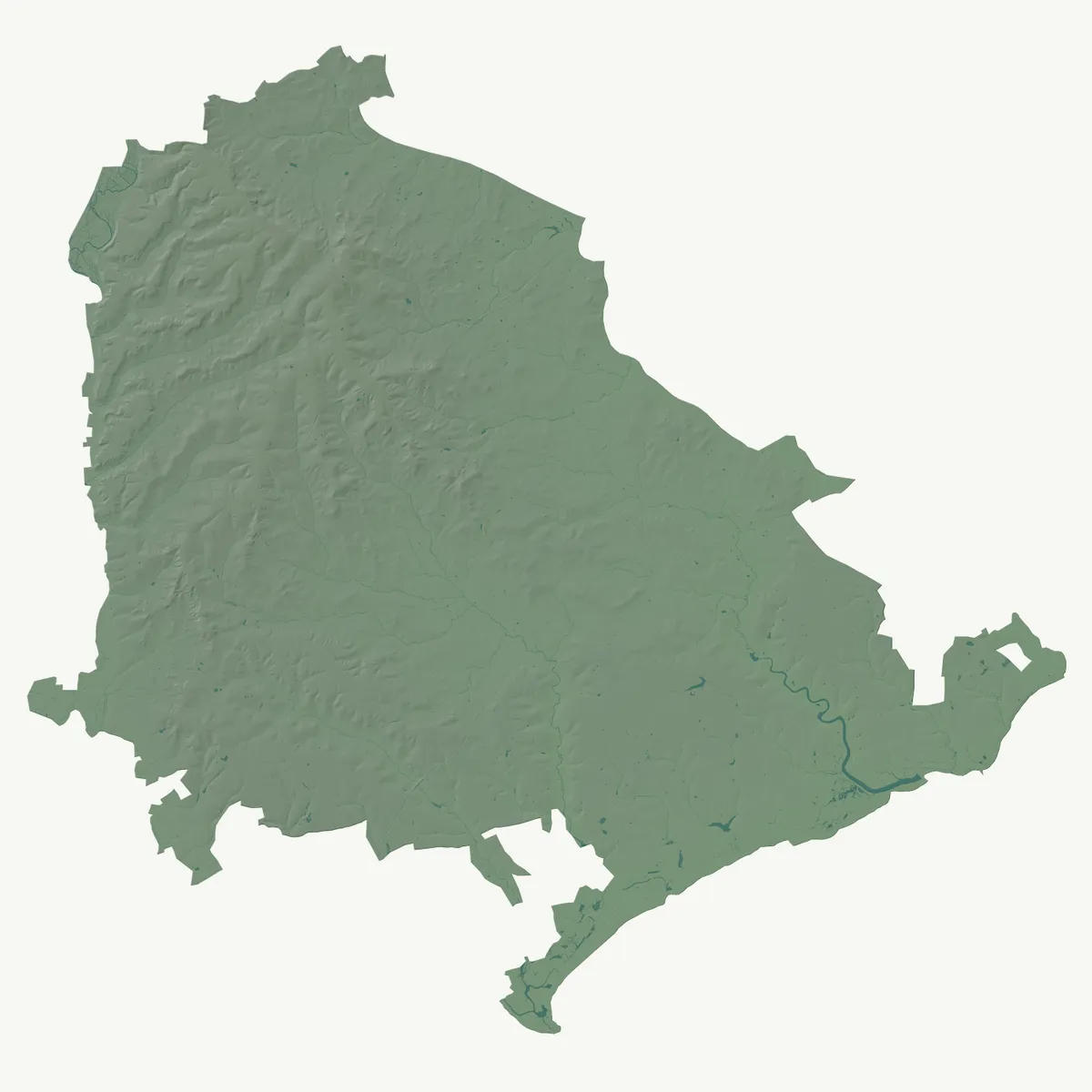
What do the UK's National Parks look like?
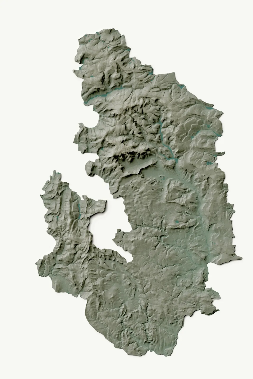
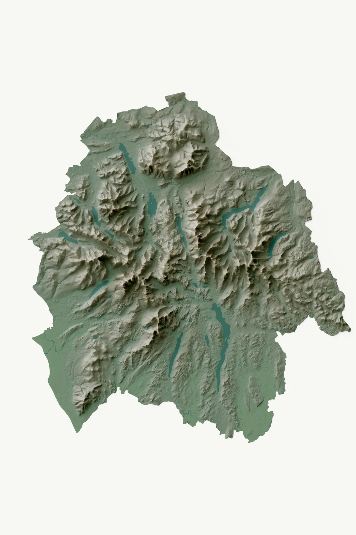
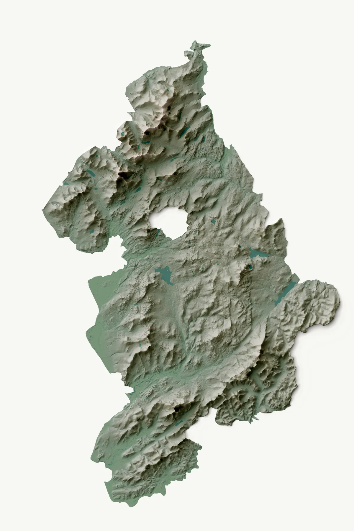
The following images were created by Joe Harrison of the GeoDataViz team (OS Maps). The first piece of artwork shows Great Britain's national parks, side by side. Scroll down for a more detailed picture of each of the national parks, placed in order of designation.
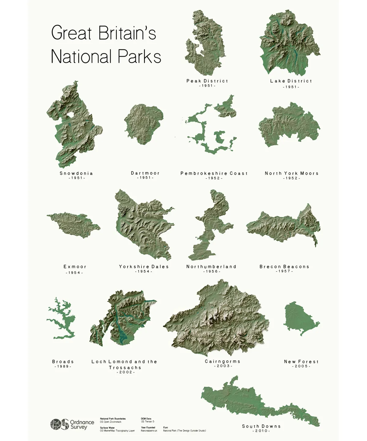
Peak District
Lake District
Snowdonia
Dartmoor
Pembrokeshire
North York Moors
Exmoor
Yorkshire Dales
Northumberland
Brecon Beacons
Broads

Loch Lomond and the Trossachs
Cairngorms
New Forest
South Downs
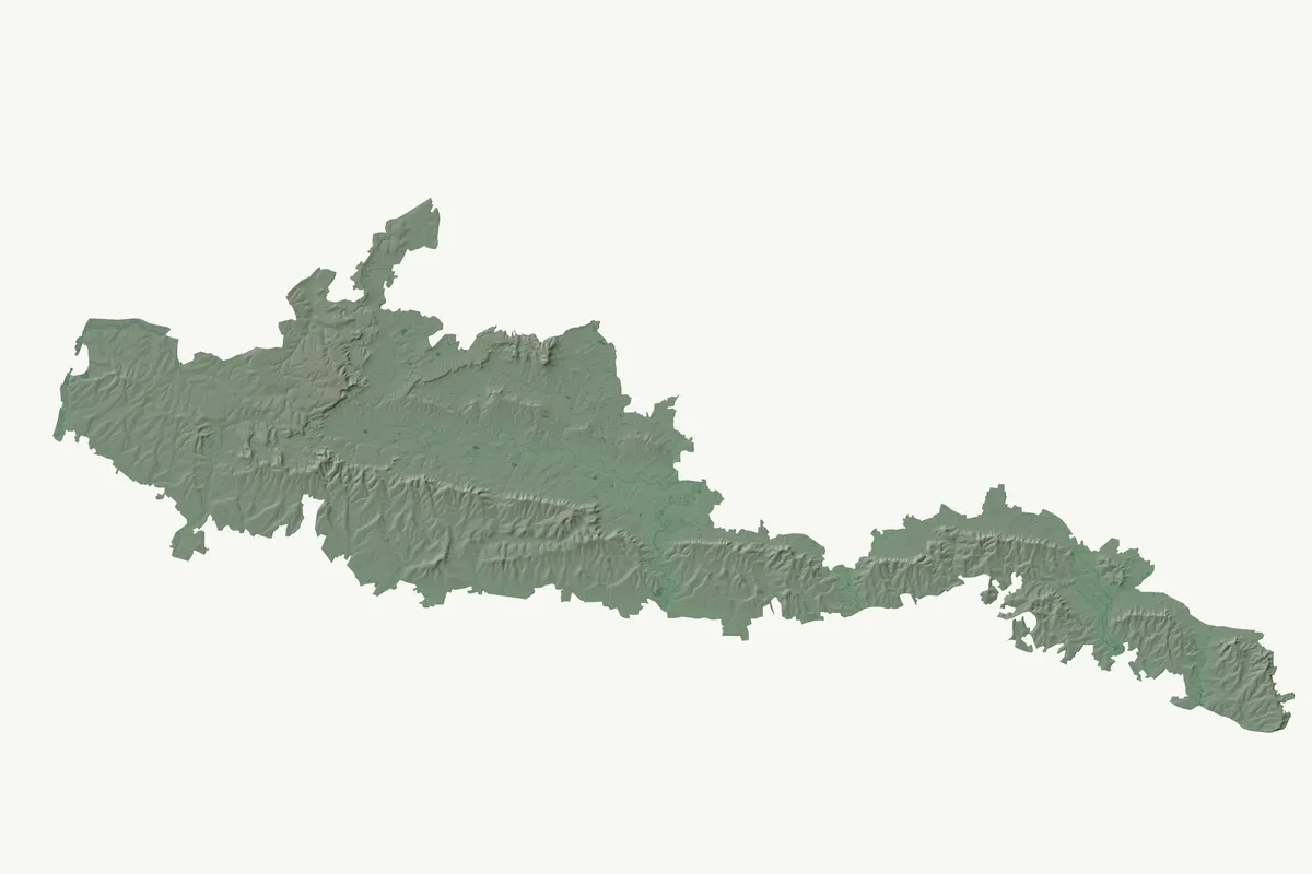
Artwork ©Joe Harrison, OS Maps

